Description
Recreational nautical charts: Väinameri – Lohusalu to Saaremaa
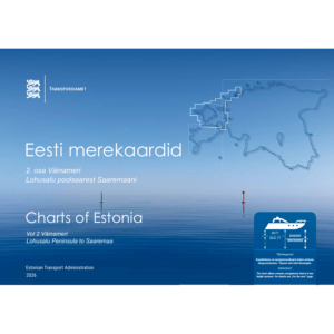
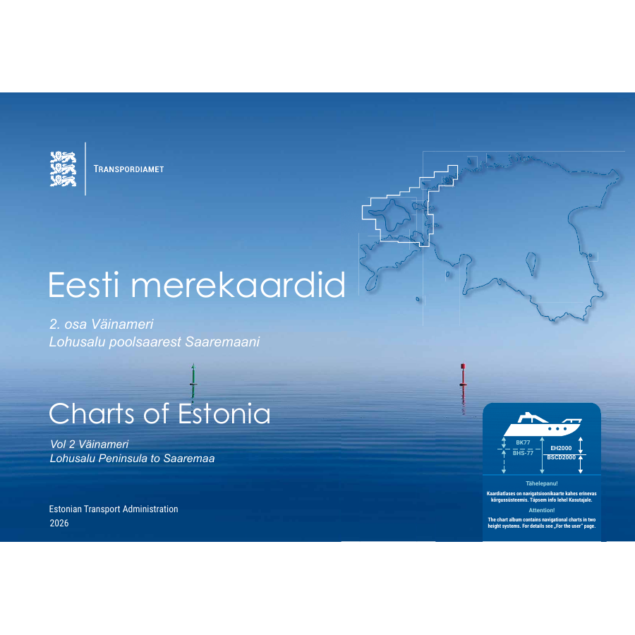
Charts of Estonia Vol. 2 is an official chart album published by the Estonian Transport Administration (Transpordiamet) in 2026. This is the waterproof paper version.
The album covers Väinameri and the waters from Lohusalu Peninsula to Saaremaa. It brings together nautical charts for passage planning and navigation within this coverage area.
Choose the right coverage and paper
This version is printed on waterproof paper. Vol. 2 is also available on regular paper. The three volumes cover different areas; choose the album for your intended route.
Edition and corrections
Edition year: 2026. The edition year does not indicate the date of the latest correction. Consult current corrections in Transpordiamet’s Notices to Mariners before using the charts for navigation. The album includes charts in different height systems; see its guidance for users.
- Publisher: Estonian Transport Administration / Transpordiamet
- Series: Charts of Estonia, Vol. 2
- Coverage: Väinameri – Lohusalu to Saaremaa
- Paper: waterproof paper
Kart.no is a Norwegian reseller of Transpordiamet’s nautical charts. Current availability is shown when ordering.