
Description
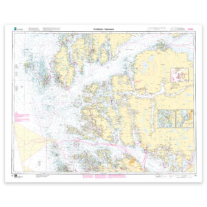
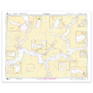
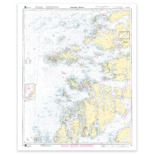
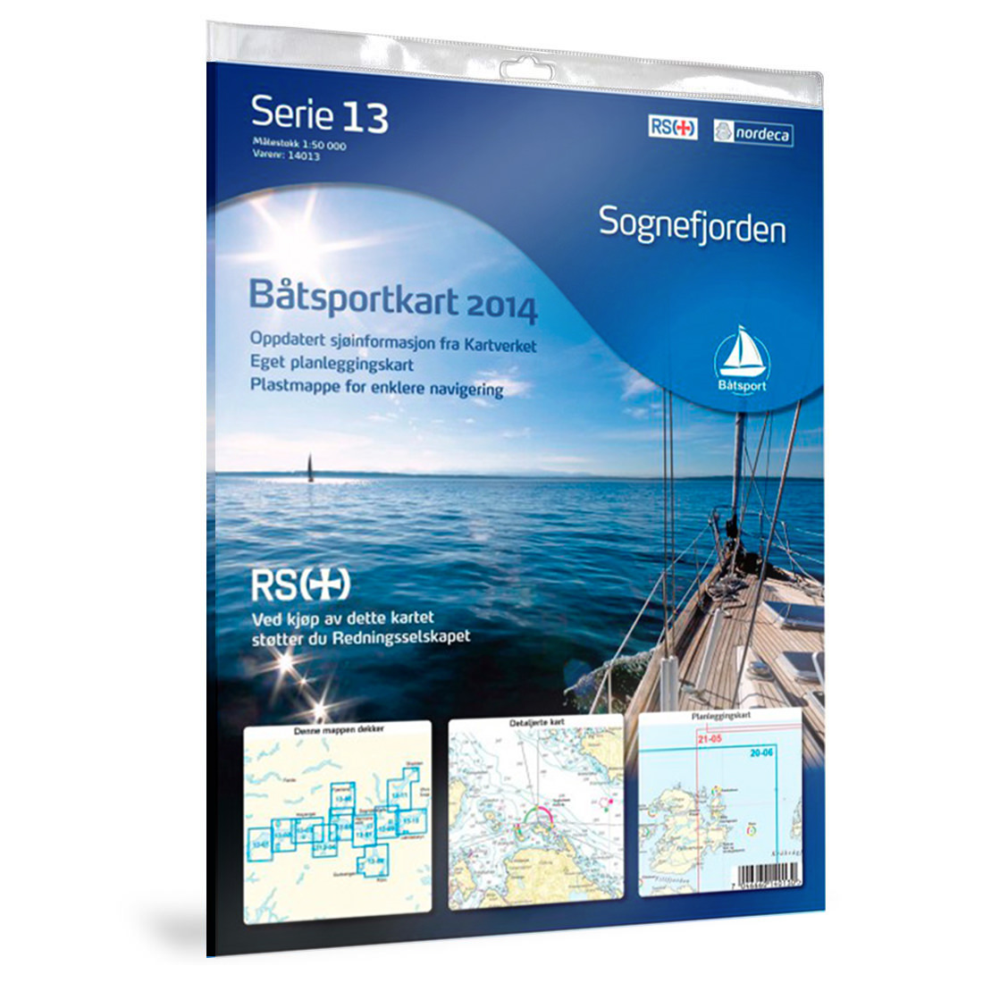
Boating Chart 13 – Sognefjorden from Nordic Maps is a detailed nautical chart developed for recreational boats and active boaters navigating one of Norway’s most spectacular fjord areas. The chart provides excellent overview of fairways, harbors, depth conditions and important navigation points.
The chart is delivered in a sturdy plastic folder that protects against water, rain and sea spray. The folder allows multiple chart sheets to be visible simultaneously, providing easier navigation underway.
The boating charts are known for their user-friendliness and are adapted for smaller vessels, with practical format and clear cartography. They work excellently both for trip planning and as a reliable backup should electronic navigation systems fail.
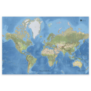
The chart also includes an overview map showing the coverage area and helps you plan routes through Sognefjorden and surrounding areas.