Description
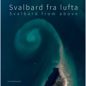
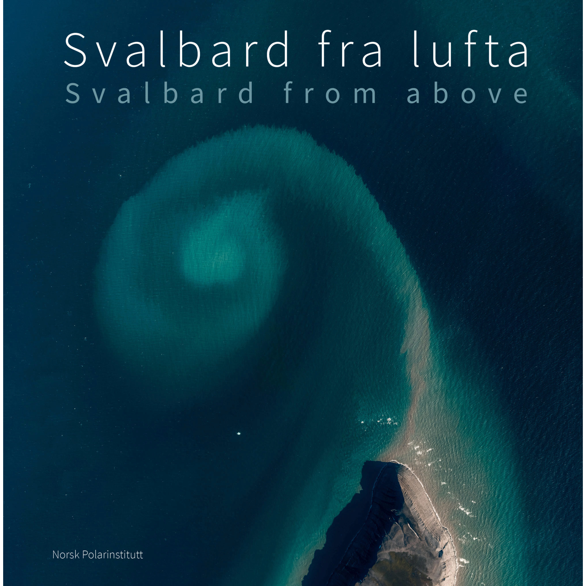
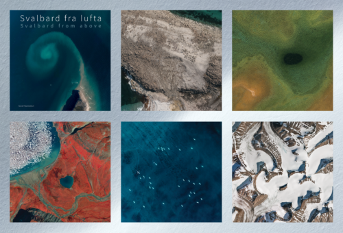
“Svalbard from the Air ” is a spectacular coffee-table book that takes you on a photographic journey over Svalbard as seen from the air. Through a unique collection of aerial photographs, historical images, and informative texts, the book offers a fascinating insight into the landscapes, nature, and history of this Arctic archipelago.
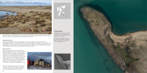
The book is based on the most comprehensive aerial photography project of Svalbard ever undertaken. Between 2008 and 2012, the Norwegian Polar Institute took approximately 17,000 digital aerial photographs, mainly from an altitude of about 8,000 meters. In addition, the book includes historical aerial photographs dating all the way back to 1936, making it possible to track how glaciers, rivers, and coastlines have changed over nearly a century.
Along the way, short texts in both Norwegian and English explain the landscapes and provide information about geology, glaciers, wildlife, vegetation, settlements, and cultural heritage sites. The book thus offers both a visual experience and an accessible introduction to Svalbard’s nature and history.
The publication was edited by Bjørn Fossli Johansen in collaboration with Harald Faste Aas, Anders Skoglund, and Oddveig Øien Ørvoll, and was published by the Norwegian Polar Institute.
“Svalbard from the Air ” is a beautiful gift book, an inspiring reference work, and a unique documentation of an ever-changing landscape.