Description
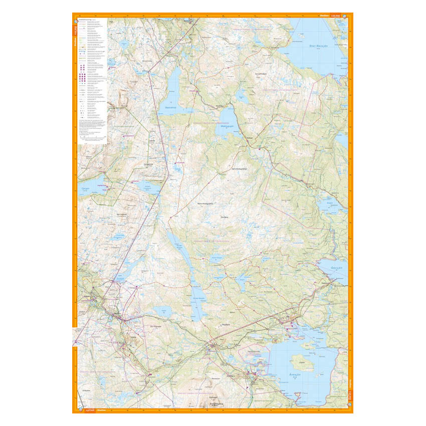
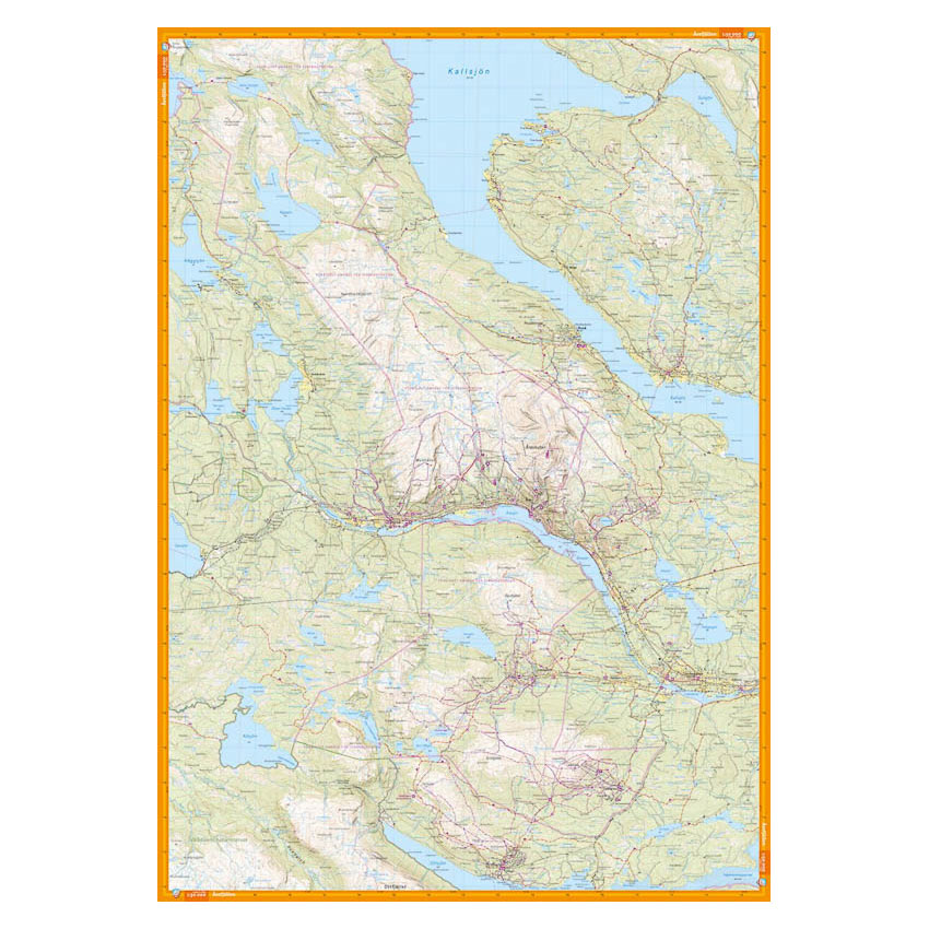
This hiking map covers Årefjällen and the area around Storlien with a wide and convenient view of some of the most popular mountain areas in Jämtland. The map shows Åre, Duved, Kall, Edsåsdalen and Trillevallen on one side, and the mountain area between Skalstugan in the north and Storlien and Handöl in the south on the other.
The terrain is rendered with clear contour lines (10-meter equidistance), and the map shows trails, water, steep sections, wetlands, buildings and vegetation types that are important for safe travel in the mountains. The detailed presentation makes the map suitable for hiking, summit tours and skiing throughout the year.
The map is printed on durable and water-repellent material that can withstand active use in the field and is suitable for demanding weather conditions.
The map is at a scale of 1:50,000, which is the most commonly used scale for hiking maps. Here, 2 cm on the map corresponds to 1 km in the terrain, providing a good balance between overview and detail.
Calazo Förlag is a Swedish publishing house specializing in maps and books for outdoor life in the Nordic region.
Here you can see the area the map covers:
The map is released in 2021.