


Description
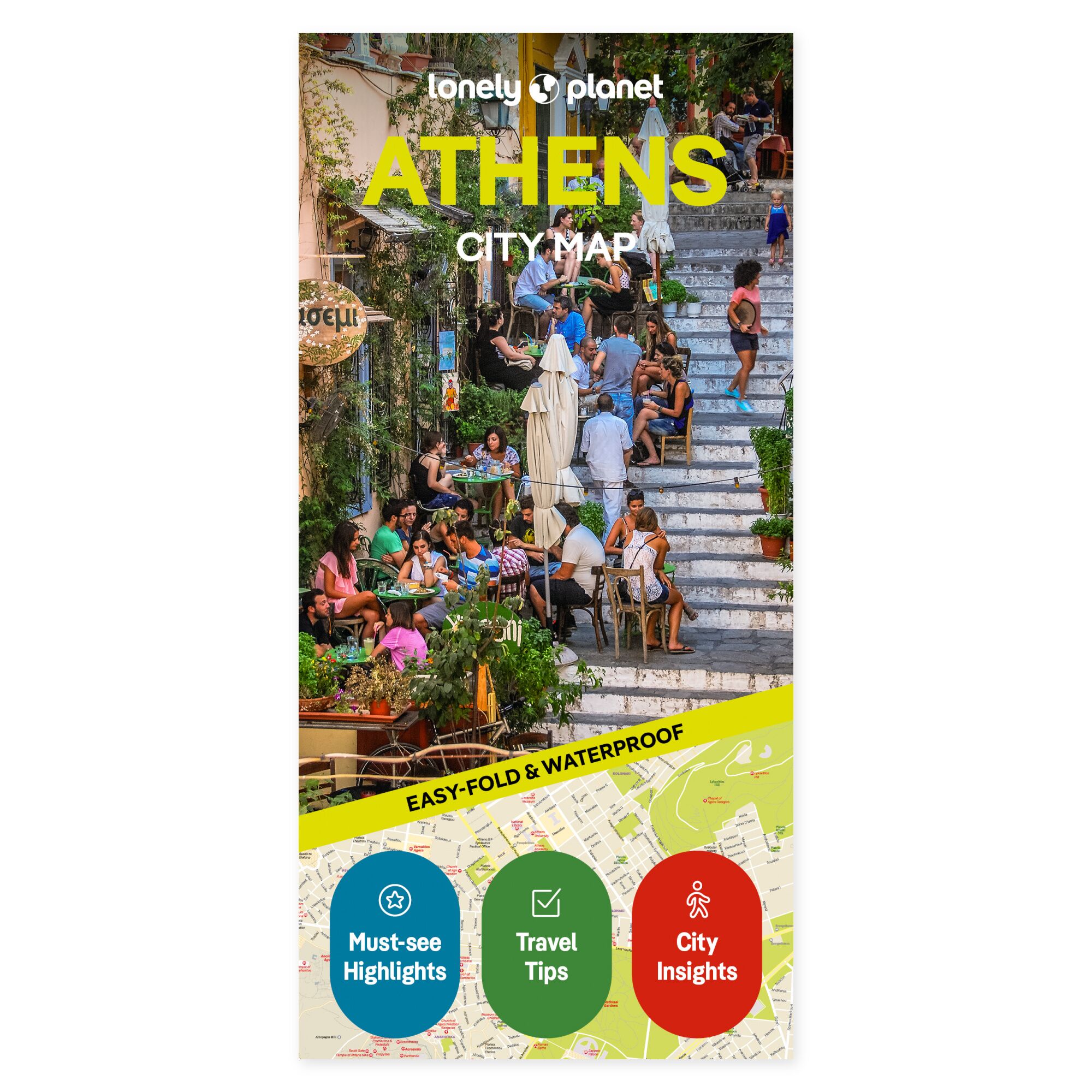
See your trip on the map. Find your way between ancient monuments and modern city life. The Lonely Planet Athens City Map gives you an overview of central Athens, so you can plan a day combining major sights with smaller detours.
Coverage includes Plaka, Monastiraki, Syntagma, Kolonaki, Psyrri, and Exarhia, among other areas. The map has a grid to help you locate places, an explanation of public transport, and a separate close-up map of Exarhia. The Acropolis, Ancient Agora, and Filopappou Hill are among the highlights covered.
Practical to bring along. The map is in color, water-resistant, and easy to fold. It comes with a protective cover. You can use it to get an overview without zooming in on a screen, and as a supplement to the travel guide when planning each day’s route.
About the edition. English edition, published 2025. ISBN 9781787015241.
