
Description
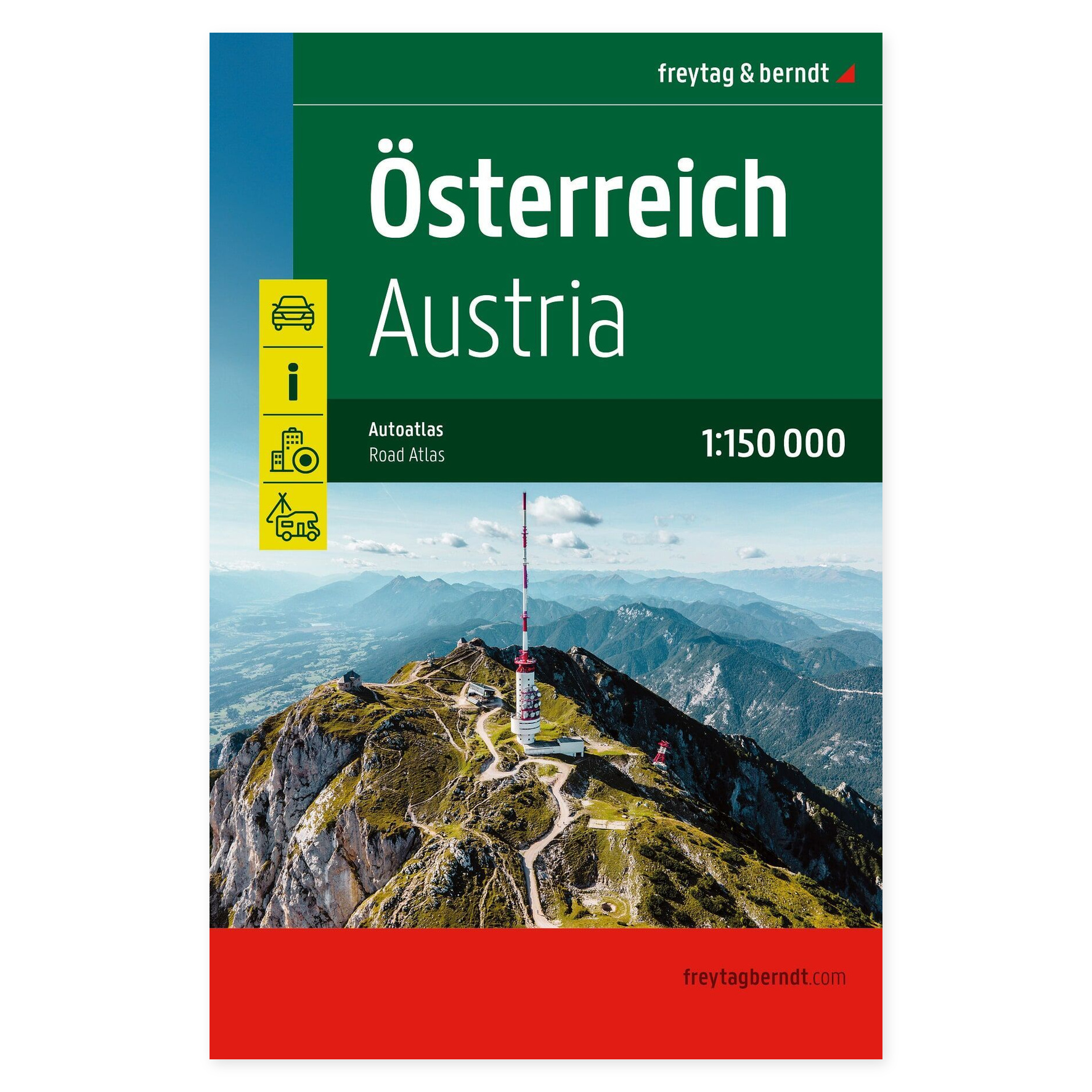
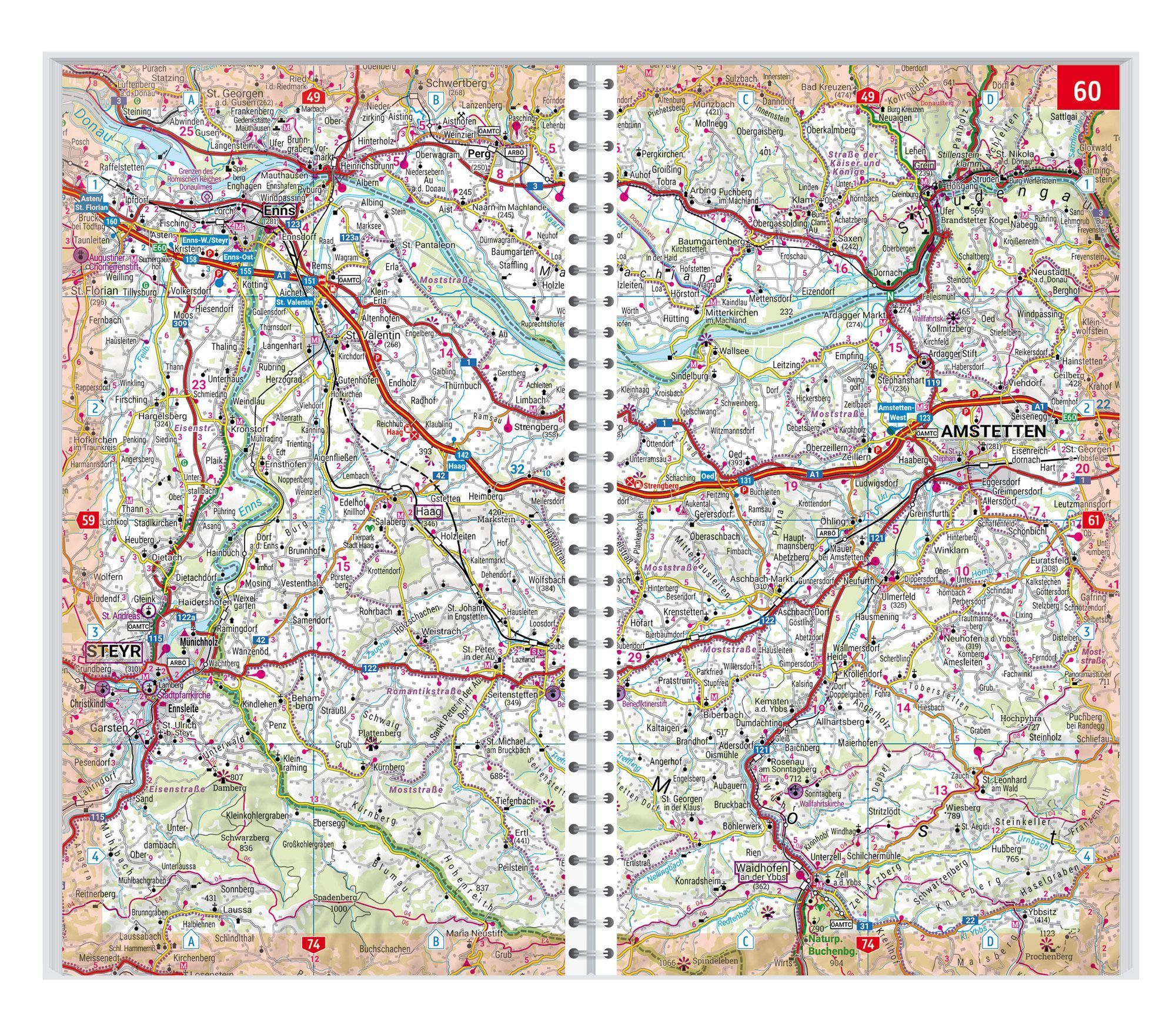
Austria Supertouring – Road Atlas (Multilingual) at a scale of 1:150,000 provides an overview when planning your trip and helps visualize connections between various destinations. The map can be used at home before departure and taken with you for easy access to geographical information on the go.
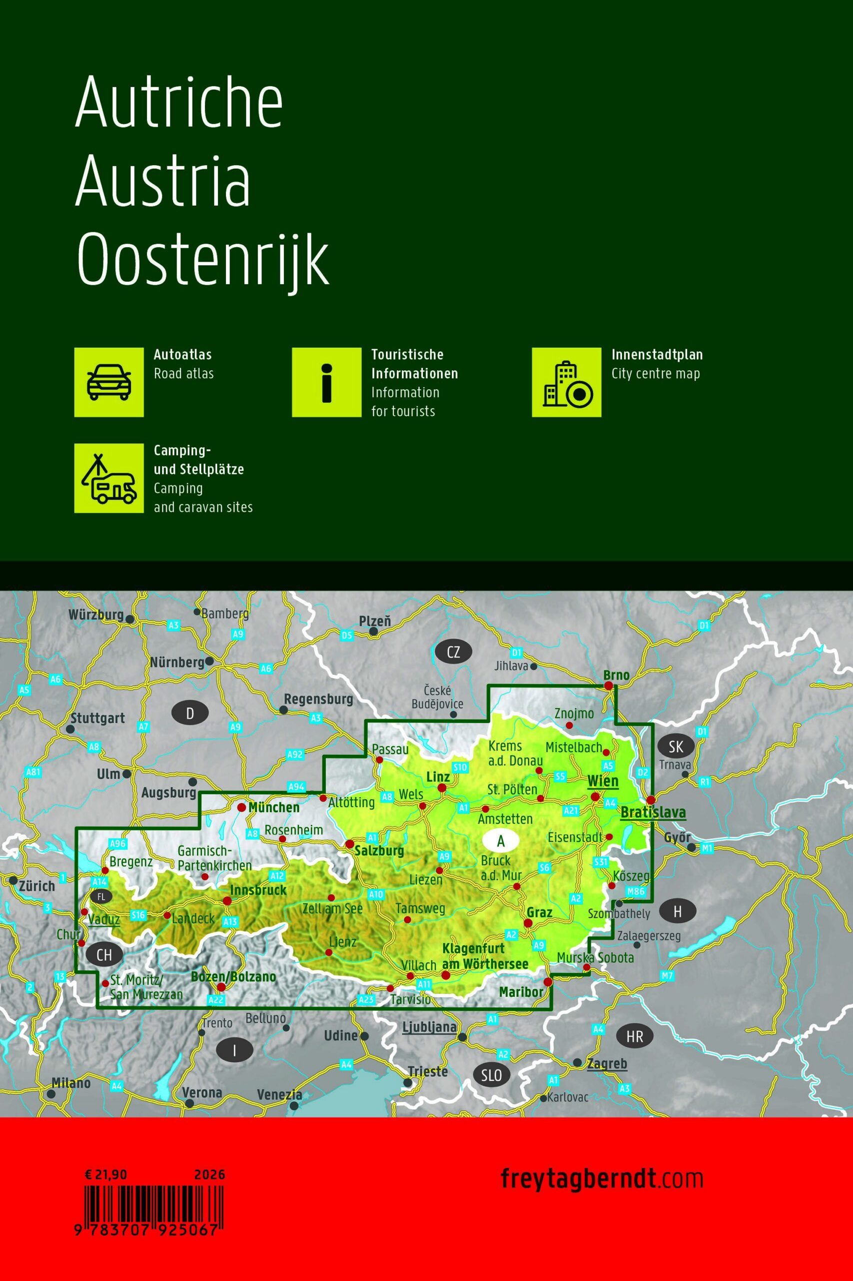
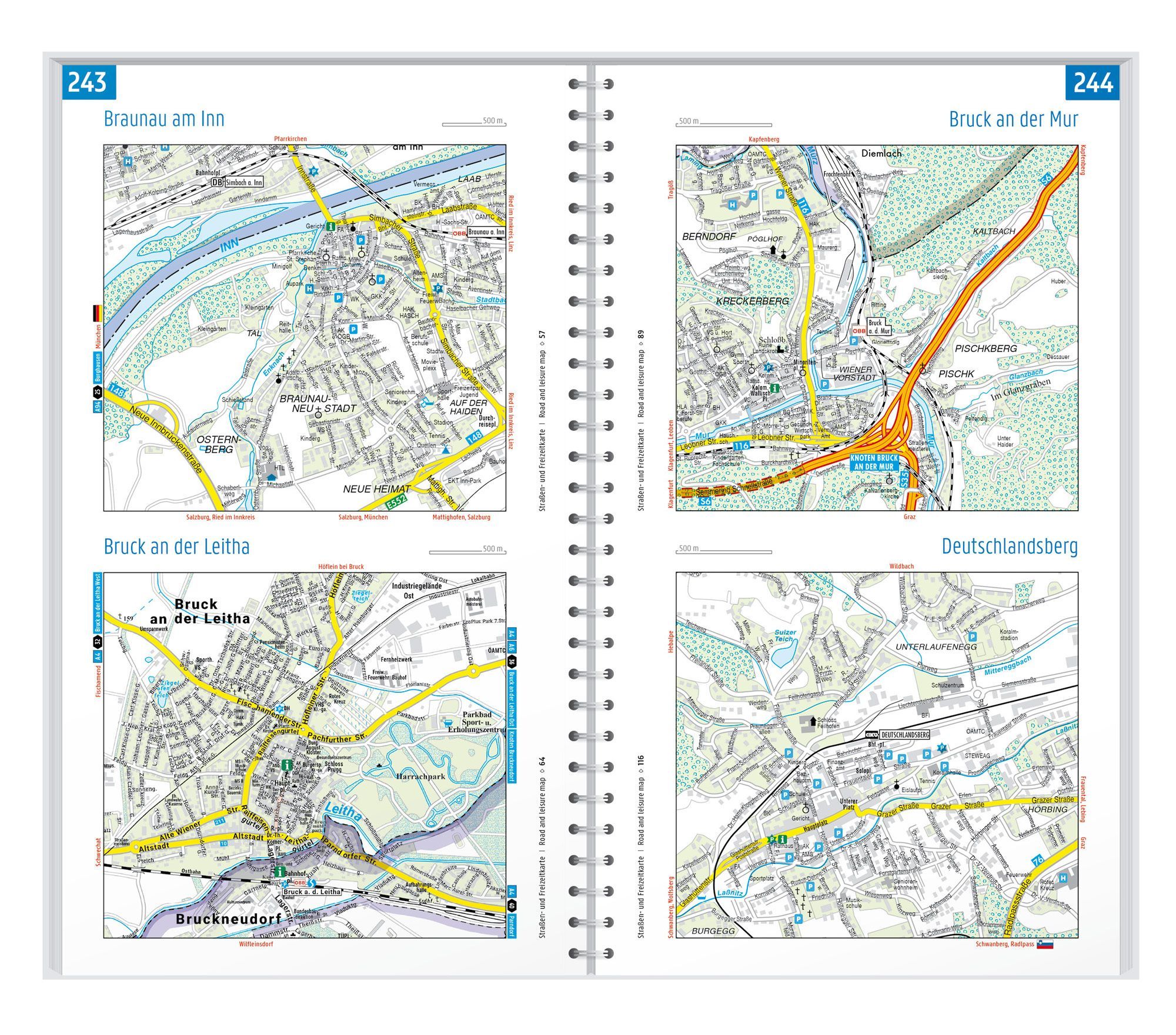
63 city center maps and a place index with postal codes complement the detailed road network. The atlas assists both when comparing longer routes and when traveling to a city you wish to visit.
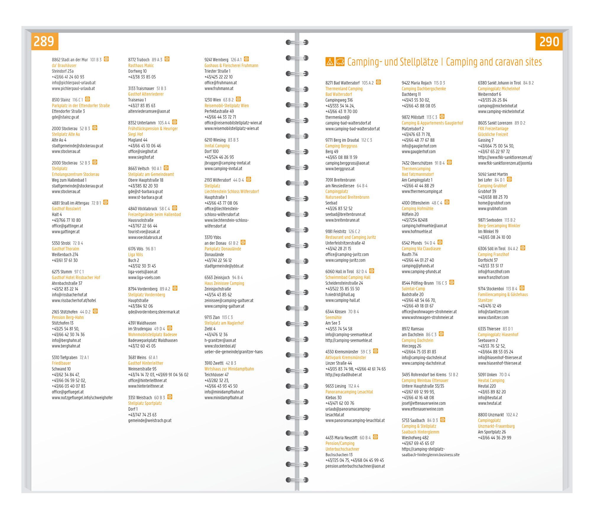
Campsites, motorhome pitches, and tourist information provide support when planning stops and overnight stays. The concealed spiral binding makes it practical to flip between map sheets. The format is approximately 17 × 25.7 cm.
Plan with the maps in front of you. Browse between the areas you wish to visit and see destinations in context. The book format keeps the map material together, making it easy to refer back to relevant map sheets both before and during your journey.
Practical information: Scale 1:150,000. Publication year 2026. ISBN 9783707925067. Publisher Freytag & Berndt.