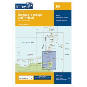
Description
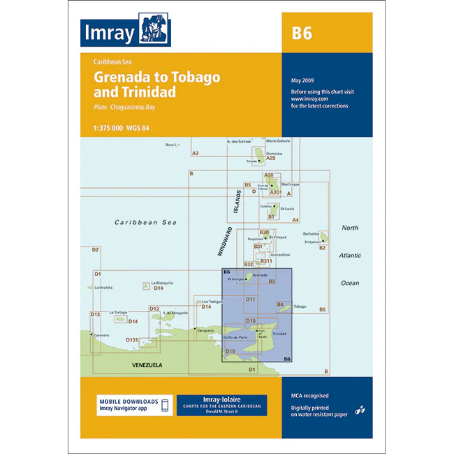
This boating chart covers the southeastern Caribbean, focusing on the sailing area between Grenada, Tobago and Trinidad. The chart provides a clear representation of coastlines, archipelagos and open seas in a popular waterway for long distance sailing and island hopping in the Caribbean.
The map includes the main islands and adjacent waters around Grenada, Carriacou, Tobago and Trinidad, as well as sailing routes in the transition zone between the Caribbean Sea and the Atlantic Ocean. Known for its stable trade winds, clear currents and long open stretches between islands, the map is ideal for both route planning and navigation in open waters.
Imray is a recognized British chart manufacturer with extensive experience in nautical cartography for leisure and long-distance sailing. Their charts are developed with a focus on high readability, practicality and clear presentation of navigation-relevant information, especially adapted for sailing in international waters.