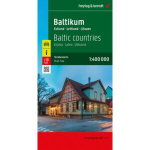

Description
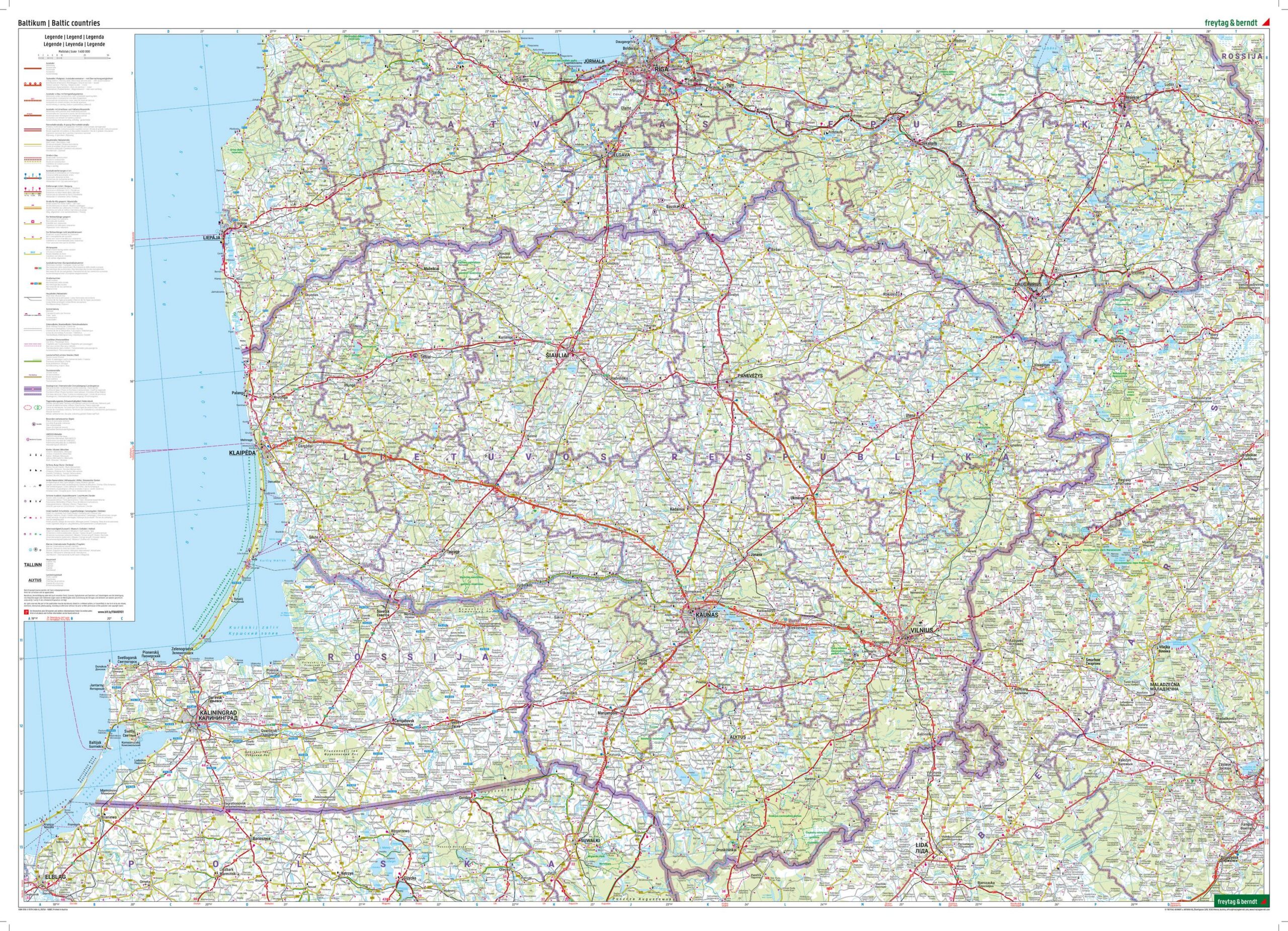
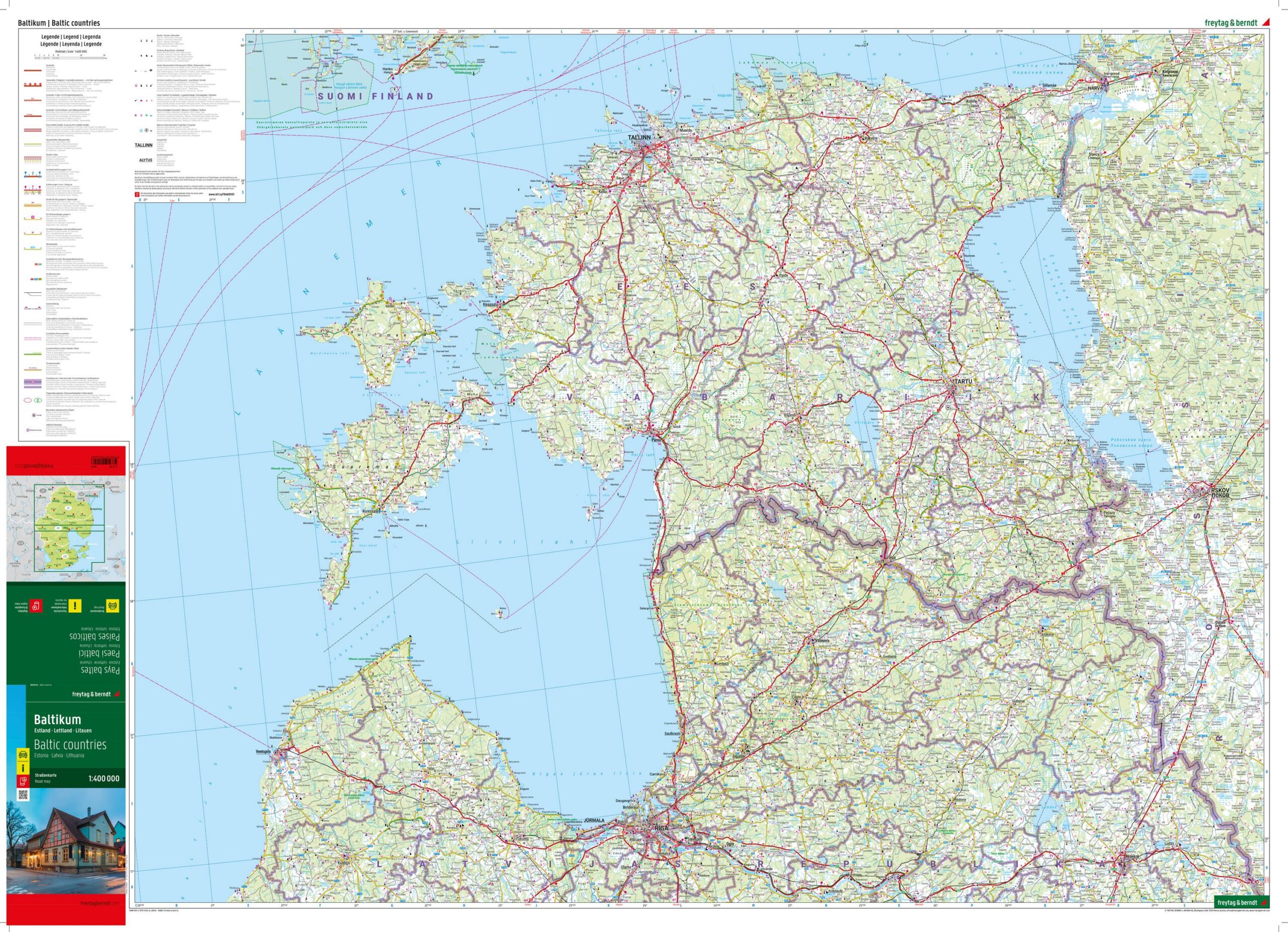
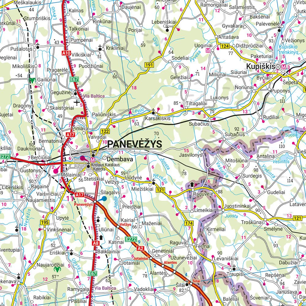
Covering Estonia, Latvia and Lithuania at a scale of 1:400,000, this detailed road map of the Baltic States is an ideal map for those traveling by car, motorcycle or motorhome in the region. The map strikes a good balance between overview and detail, clearly showing major roads, minor roads and important connections between cities and regions.
The extensive road network is accurately mapped, with distances in kilometers and marked tourist attractions. The map also includes campsites, useful tourist information and a digital place index with postcodes, which can be accessed via QR code. This makes it easy to find your way, both when planning and traveling.
The map is printed on both sides and covers the entire Baltic region in one continuous map image. The precise cartography from freytag & berndt makes the map a reliable tool for both longer road trips and more detailed regional travel.
Year of publication: 2025.
Printed in Austria.