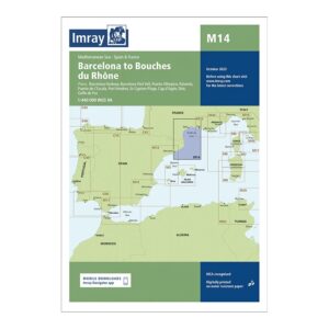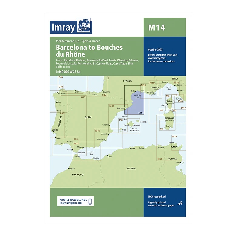
Description
This overview chart from Imray covers the coastline of the Western Mediterranean from Barcelona to Bouches du Rhône, encompassing both the north-eastern coast of Spain and the southern coast of France. The map includes the sailing areas along the Costa Brava, Languedoc and Provence, with plan views and approaches to key ports and cities.
The map covers Barcelona, Port Vell, Palamós, Port-Vendres, St-Cyprien-Plage, Cap d’Agde, Sète and the area around the Rhône delta. Designed for passage and route planning, it provides a clear regional overview of the sailing routes along this part of the Mediterranean.
Printed on water-resistant paper and manufactured to MCA approved standards, with support for digital updates via the Imray Navigator app.