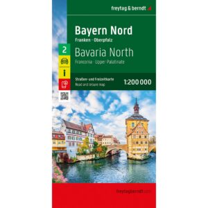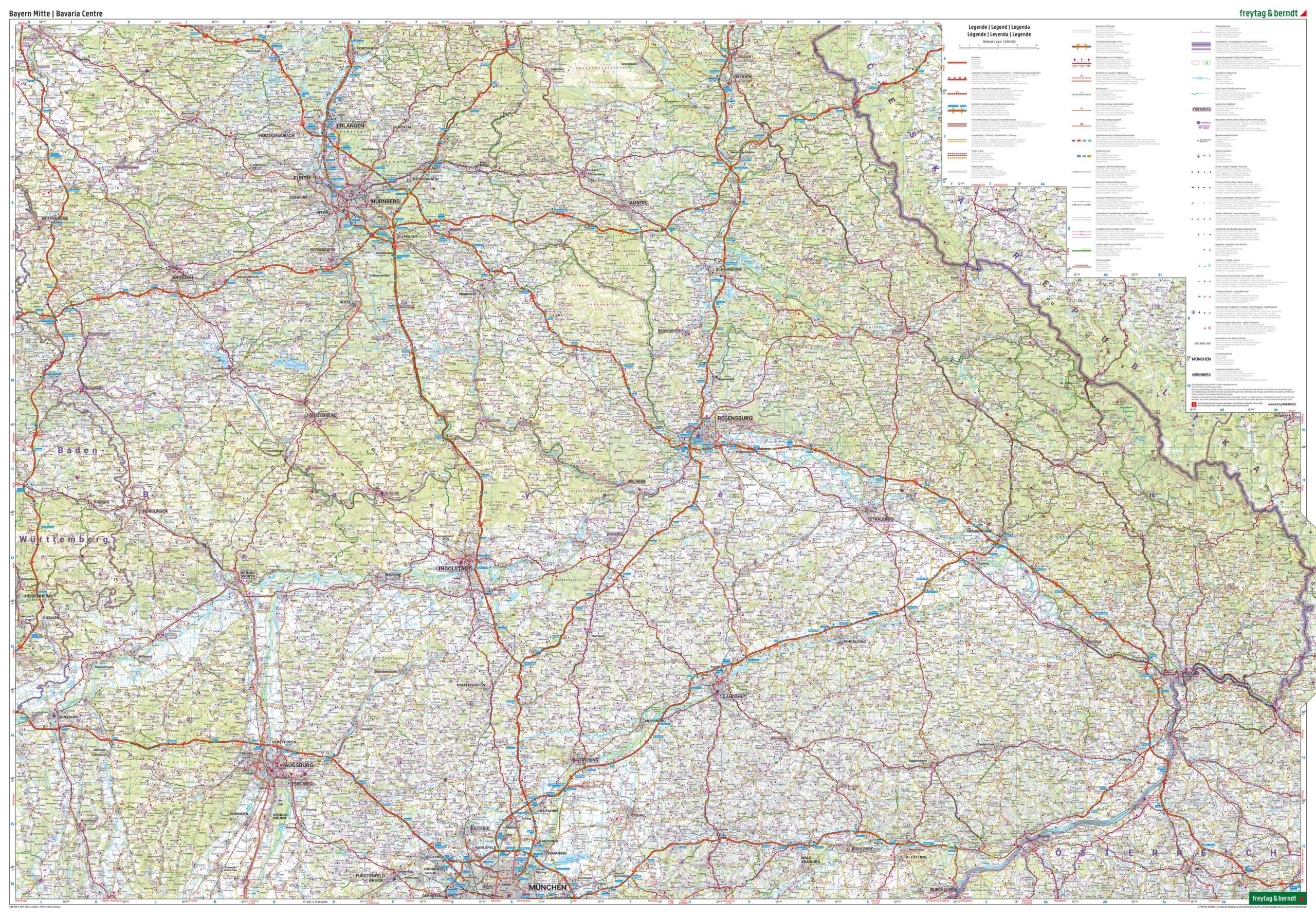

Description
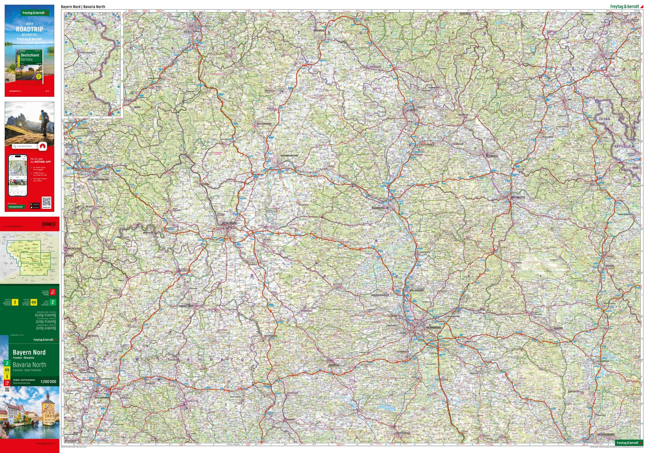
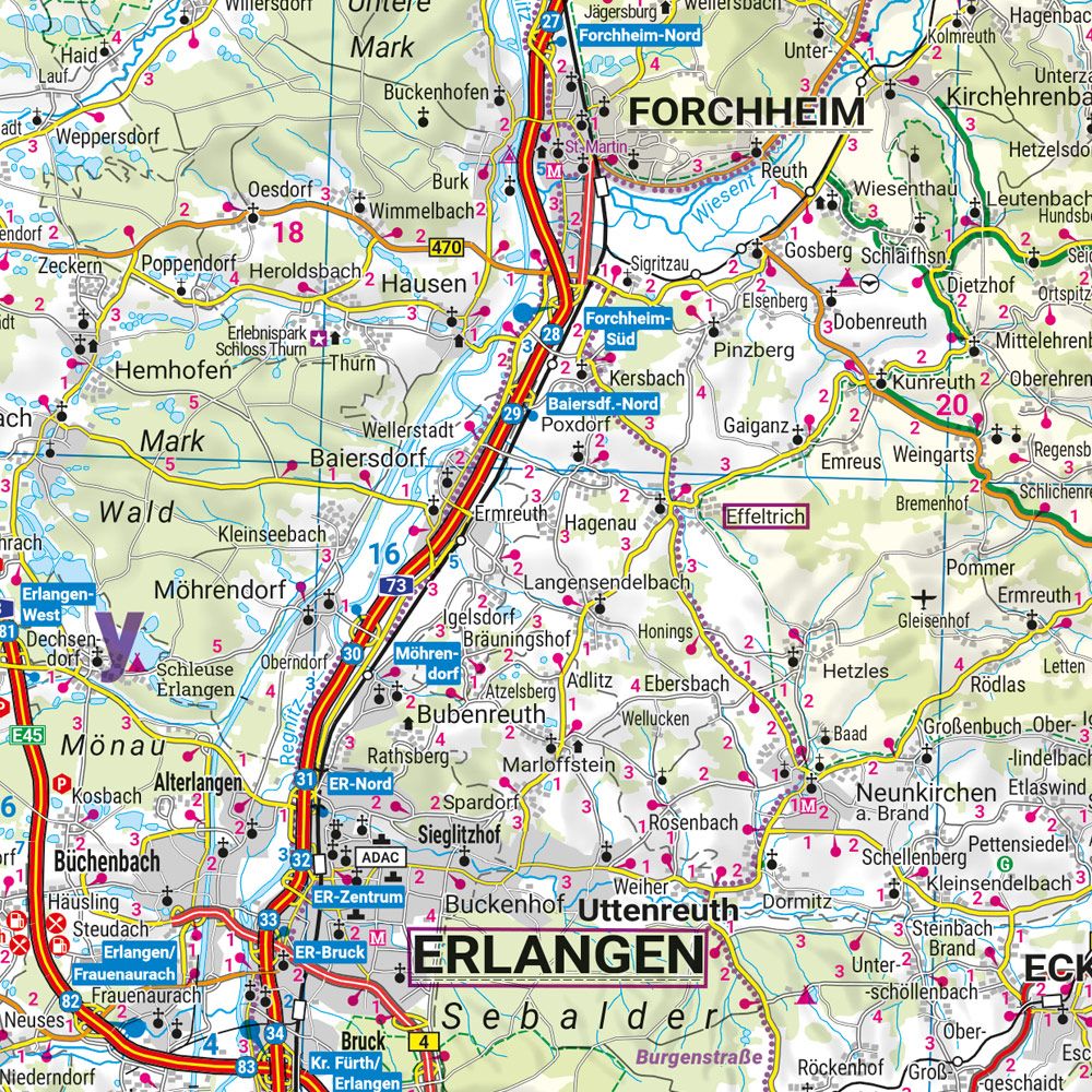
This road map of Northern Bavaria provides a detailed and clear representation of the regions of Franconia and Upper Palatinate, suitable for travel by car, motorcycle and motorhome. The map shows a dense and precise road network with clearly marked main and side roads, distances and a wide range of tourist destinations and excursions. The cartography is easy to read and structured, making the map suitable for route planning at home and for orientation during your journey. In addition, the map contains practical information such as campsites and caravan parks, as well as a digital place index with postcodes that provides quick access to search for places via mobile. The map is part of the Germany 1:200,000 map series and covers Northern Bavaria as a separate sheet. Year of publication: 2025.