


Description
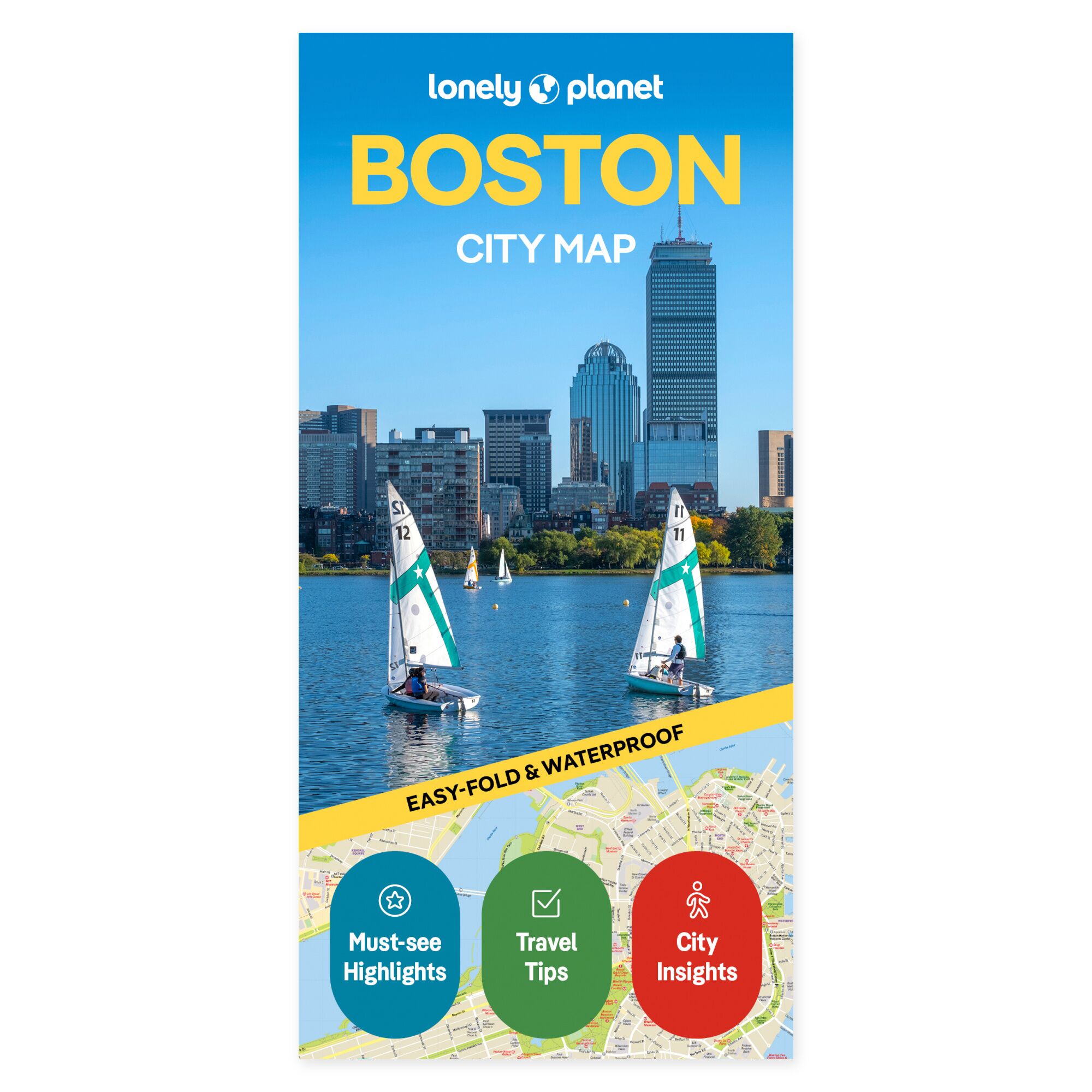
See the possibilities on the map. See how Boston’s neighborhoods connect before deciding on the day’s route. This city map from Lonely Planet provides a physical overview you can unfold at the breakfast table and bring out again when you want to find your next stop. It is a practical companion for a holiday featuring city life, history, and time for strolling.
Plan your own trip. The map’s coverage includes Back Bay, Chinatown, Fenway, Financial District, North End, Seaport District, and South End. Harvard Square, Kendall Square, and Central Square are also among the areas featured. A street and place index, transport map, and suggested walking routes provide multiple ways to use the overview.
Made to be brought along. The foldable map is water-resistant and easy to unfold. You get a physical overview that can be used both before departure and during the journey, without having to pull out a screen. Lay the map out with your travel companions and see how the places you wish to visit are located in relation to each other.
Feel free to choose a few main stops and use the overview to explore possible detours. The map can remain out while you discuss the next leg, or be taken along when plans are to be followed on the trip.
About the edition. Map with English text, published 2025. 2nd edition. ISBN 9781787015531.
