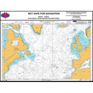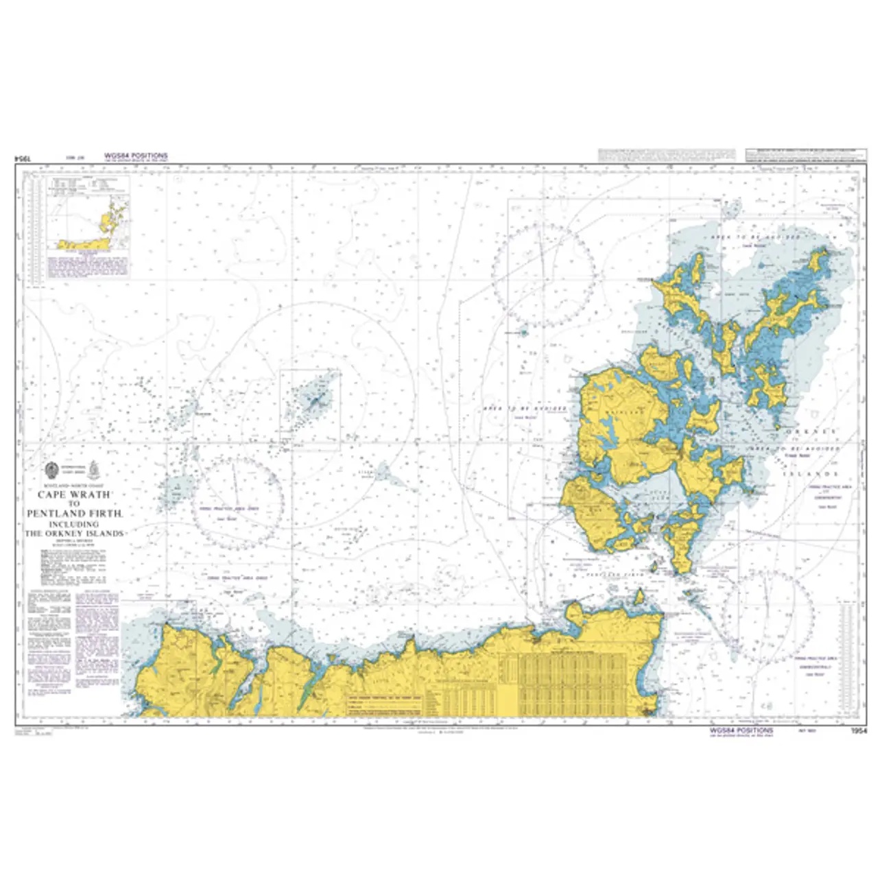
Description
This British Admiralty chart covers the coastline from Cape Wrath to the Pentland Firth, including adjacent waters and the Orkney Islands. The chart provides a comprehensive overview of the coastline, islands, reefs, depths, shipping lanes and navigation marks in an area characterized by open seas, strong currents and challenging weather conditions.
The chart is suitable for transit, route planning and operational navigation along the north coast of Scotland and into the Pentland Firth. Developed for professional navigators, it provides a reliable chart base for safe navigation in both open and coastal waters.