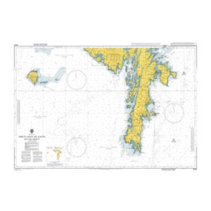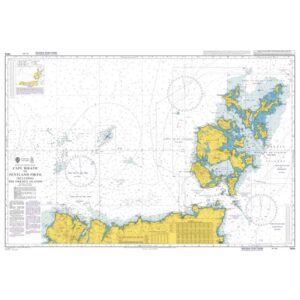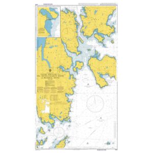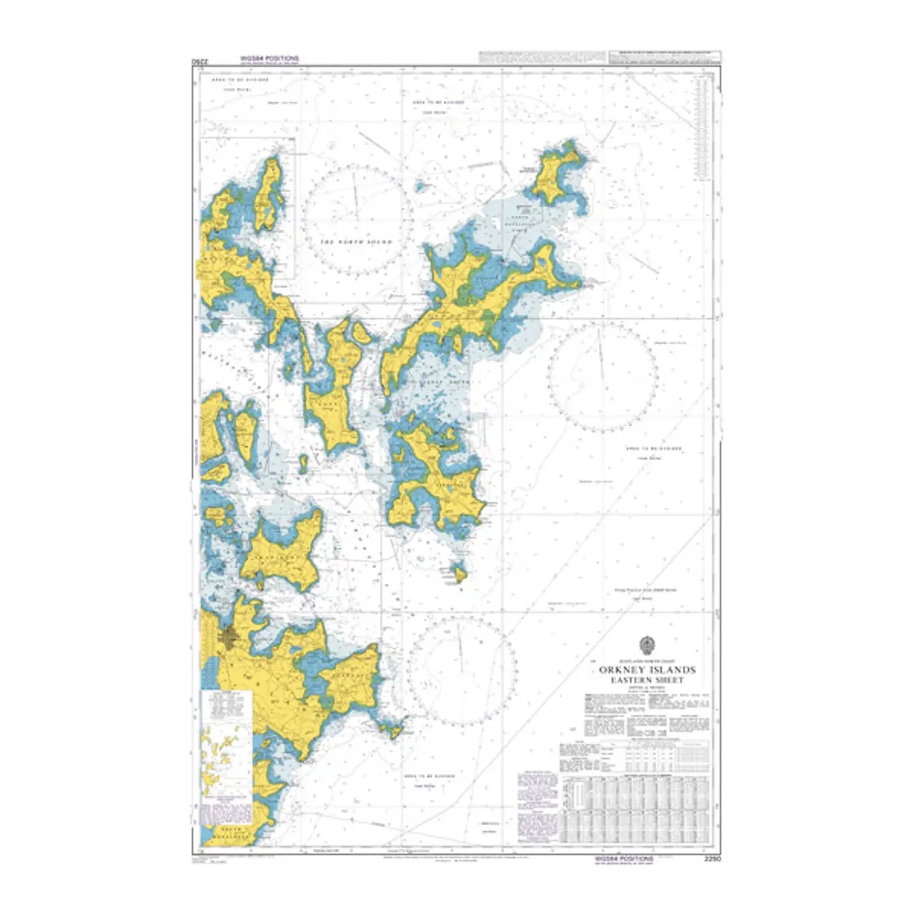
Description
This British Admiralty chart covers the eastern parts of Orkney and adjacent waters in the North Sea and North Atlantic. The chart provides a detailed representation of the coastline, islands, reefs, bathymetry, navigation marks and shipping lanes, and is adapted for navigation in an area with strong tidal currents and challenging local conditions.
The chart is well suited for coastal navigation, sailing through and planning voyages along and between the islands of the Eastern Orkney Islands. Developed for professional navigators, it provides a reliable chart basis for safe navigation in both open and coastal waters.