Description
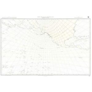
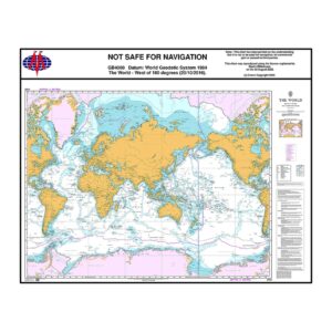
The British Admiralty Chart 4000 is an official global overview chart published by the UK Hydrographic Office and covers the whole world west of 180° longitude. Developed as a strategic planning chart for oceanic navigation, it provides a comprehensive picture of the world’s oceans and the main global sailing areas.
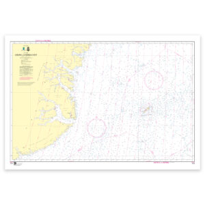
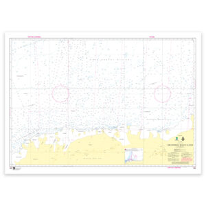
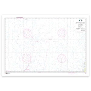
The chart is intended for route planning and overview for long-distance sailing and transoceanic crossings. It shows large depth ranges, sea basins, submarine ridges and banks, as well as overall geographical and navigational references. The chart is not intended for detailed navigation close to shore, but serves as an important planning tool for professional shipping and advanced sailors.
British Admiralty charts are used internationally by the merchant navy and meet the requirements of official navigation. The charts are printed on durable paper and continuously updated through Admiralty Notices to Mariners, ensuring high quality and reliability in navigational planning.