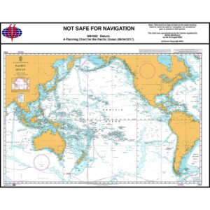
Description
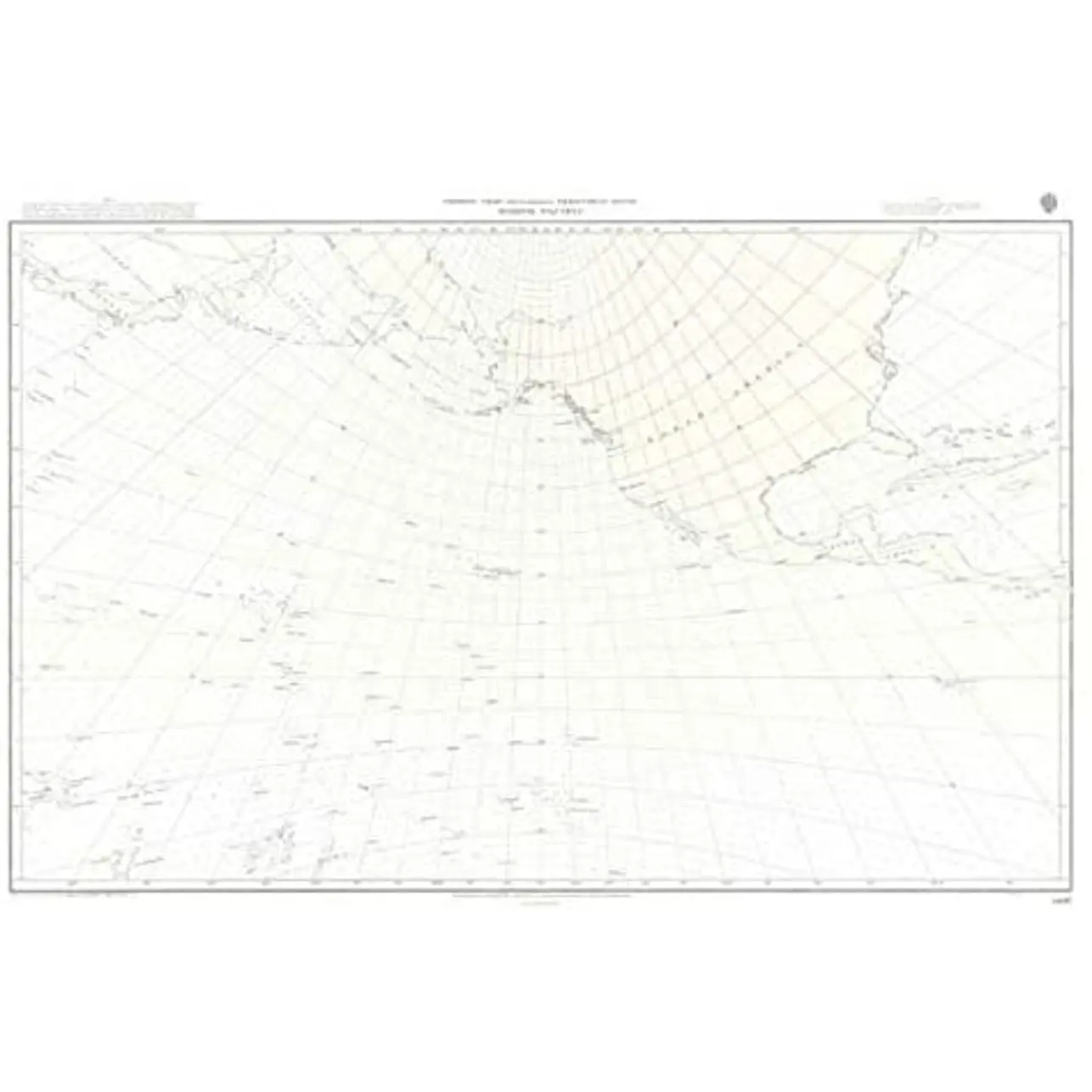
This gnomonic planning chart from British Admiralty covers the North Pacific Ocean and is specifically designed for calculating and visualizing great circle routes between continents and island groups in the Pacific. The chart is primarily used in the planning phase of long-distance voyages between Asia, North America and adjacent seas.
In a gnomonic projection, great circles are shown as straight lines, which makes the map particularly suitable for strategic route selection before sailing. The map provides an overall picture of geographical contexts and distances, but is not intended for operational navigation or use near coasts and harbors.
This chart is suitable for professional navigators, long-distance sailors and maritime operators working with route planning over open seas, either as a supplement to operational nautical charts or as a support tool in navigation preparation and training.