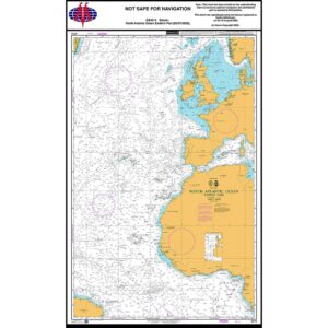
Description
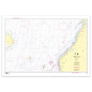
This British Admiralty planning chart covers the eastern part of the North Atlantic, including the coasts of Western and Northern Europe, North West Africa and adjacent seas. The map provides an overview of a key sailing area for traffic between Europe, the Atlantic and beyond to the Mediterranean and West Africa.
The chart has been prepared for general route and sailing planning and is primarily used in preparatory navigation work. It shows the main sailing routes, larger depth structures and geographical contexts on a large scale, but is not intended for operational navigation or detailed use near coasts and ports.
This chart is suitable for professional navigators, long-distance sailors and maritime operators who need a planning chart of the eastern part of the North Atlantic, either as a supplement to operational nautical charts or as support in teaching and navigation preparation.