Description
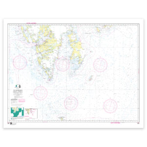
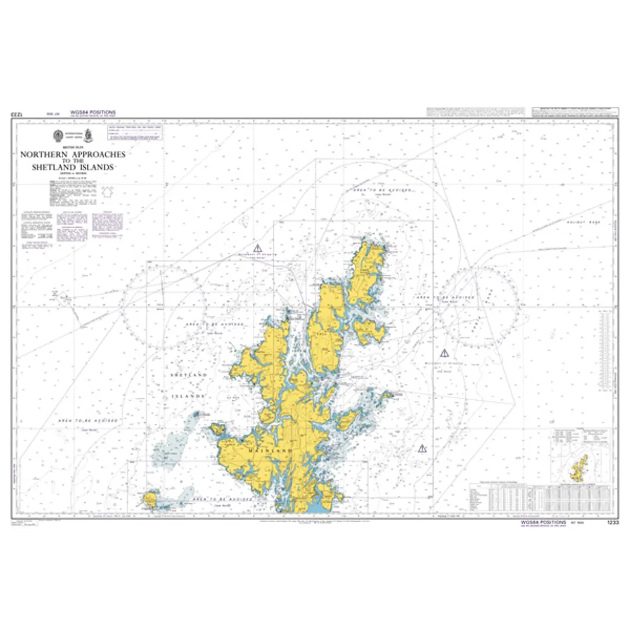
British Admiralty Chart 1233 covers the northern and eastern approaches to the Shetland Islands and surrounding waters. The chart provides a comprehensive overview of the main routes, traffic patterns and navigational conditions in the waters around the archipelago, and is particularly suitable for planning voyages to Shetland from the North Sea and North Atlantic.
The chart is often used as an overall planning chart in combination with more detailed coastal and harbor charts for port calls. It provides a good overview of distances, courses and strategic route choices before entering more complex coastal waters.
British Admiralty charts are official nautical charts renowned for their high cartographic quality and international use in both professional and private navigation.