Description
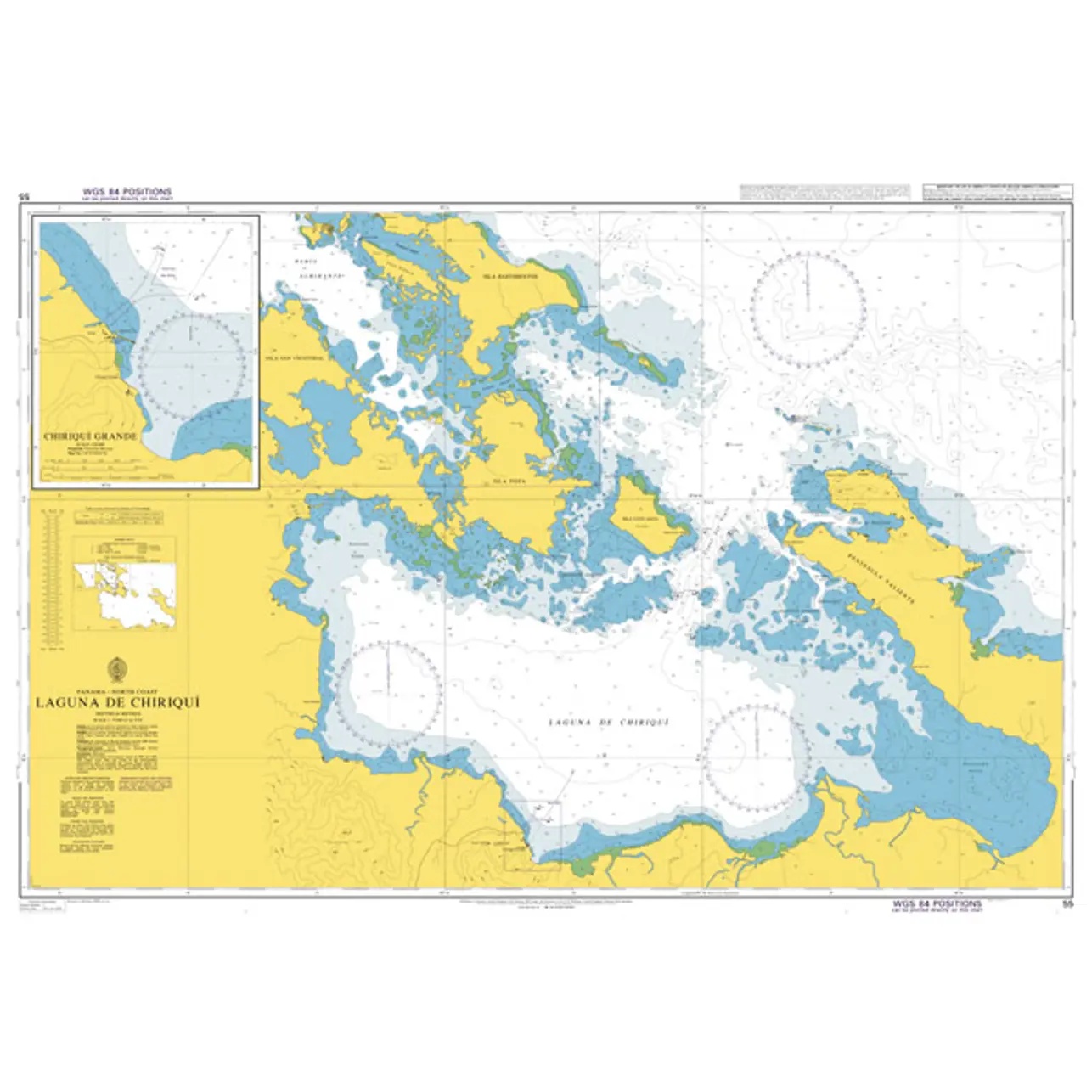
This British Admiralty nautical chart covers the Laguna de Chiriquí on the Pacific coast of Panama, including the complex island and archipelago area off the mainland. Showing detailed depths, underwater obstructions, navigation marks and coastline, the chart provides a solid foundation for safe navigation in waters characterized by shallow areas and dense island structure.
The chart is well suited for coastal navigation, traveling between islands and approaching protected anchorages in the lagoon area. It is suitable for professional navigators and is also relevant for recreational users who operate in the area and need a precise and reliable map basis for planning and carrying out voyages.