British Admiralty Charts – Order by chart number (BA Chart)

Order all British Admiralty charts (BA Charts) from the UK Hydrographic Office (UKHO). Enter your preferred chart number (BA Chart Number) and we will deliver the latest available and updated edition.

Supplied in partnership with StormGeo (official UKHO distributor). Maps that are not in stock in Norway are sent separately by DHL Express from the UK. Normal delivery time is 2-4 working days. If delivery time is critical, please contact us and we will try to arrange the fastest possible delivery directly to the ship or port.

97,42 

British Admiralty

    Description

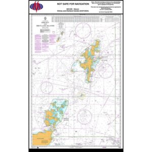
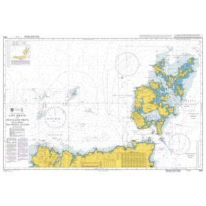
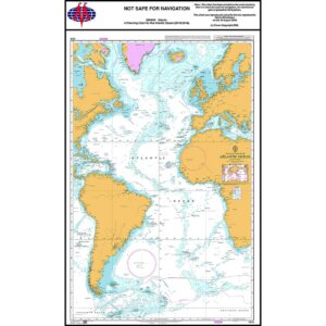
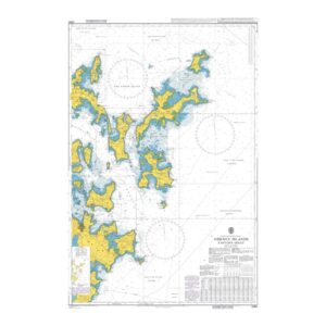
    Here you can order all paper charts in the British Admiralty series (BA Charts) from the UK Hydrographic Office (UKHO), including charts that do not appear in our standard catalog. Enter the desired chart number in the field above and we will deliver the correct and updated chart sheet.

    Admiralty charts are among the world’s most widely used official nautical charts and are used by the merchant fleet, offshore vessels, larger ships and quality-conscious long-distance sailors. The charts meet international navigation requirements and are used both as a primary source of navigation and as a backup to ECDIS.

    All maps are delivered as the latest available edition and according to current updates from UKHO. The maps are produced to order to ensure you receive the latest version.

    Delivery is made in cooperation with StormGeo UK, official distributor of Admiralty maps. If the map is not in stock in Norway, it will be sent separately by DHL Express from the UK. Normal delivery time is 2-4 working days to most addresses in Norway. If delivery time is critical, please contact us and we will try to arrange the fastest possible delivery directly to the ship or port.

    Admiralty maps are produced to order and cannot be returned.

Se også

  • British Admiralty Chart 4015 Atlantic Ocean Planning Chart

    British Admiralty Chart 4015 – Atlantic Ocean – Planning Chart

    97,42 
    Add to cart
  • British Admiralty Chart 1239 som viser Orknøyene og Shetlandøyene

    British Admiralty Chart 1239 – Orkney and Shetland Islands

    97,42 
    Add to cart
  • British Admiralty Chart 2250 som viser de østlige delene av Orknøyene

    British Admiralty Chart 2250 – Orkney Islands, Eastern Sheet

    97,42 
    Add to cart
  • British Admiralty Chart 1954 som viser strekningen fra Cape Wrath til Pentland Firth

    British Admiralty Chart 1954 – Cape Wrath to Pentland Firth

    97,42 
    Add to cart