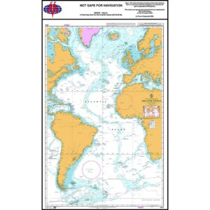
Description
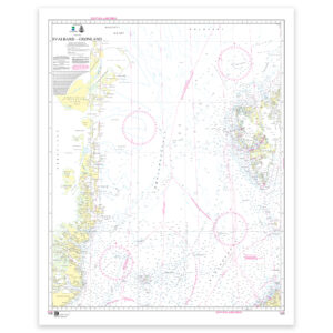
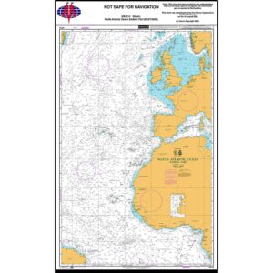
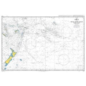
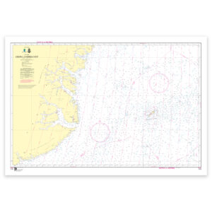
This planning chart from British Admiralty covers the Atlantic Ocean and provides a comprehensive overview of sailing routes between Europe, Africa, North and South America. The chart has been prepared for strategic route planning and is used in preparatory navigational work for long-distance sailing over open seas.
The chart shows the major geographical features of the Atlantic Ocean, including main sailing routes, distances and the overall structure of the sea area. It is suitable for planning, teaching and reference use, but is not intended for operational navigation or detailed use near coasts and harbors.
This chart is suitable for professional navigators, long-distance sailors and maritime operators who need an overall planning chart for sailing across the Atlantic, either as a supplement to operational charts or as part of navigation preparation.