
Description
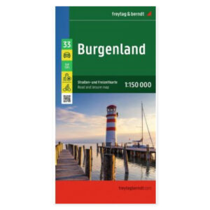
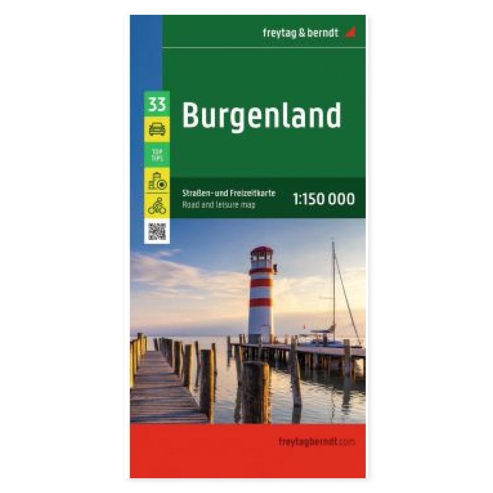
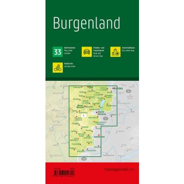
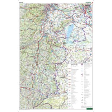
The Burgenland road map at a scale of 1:150,000 provides an overview of the road network in the Austrian state and is useful for planning drives and excursions. On the paper map, you can compare routes and see where relevant stops are located in relation to each other.
Cycle routes and tourist information supplement the roads, making the map versatile when your holiday combines driving with shorter cycling trips. The map also shows campsites and motorhome pitches for those wishing to plan overnight stays along the route.
An index of places with postcodes and a city map of Eisenstadt help you find destinations and navigate the state capital. Information with selected tips is included to support your trip planning.
Practical information: Scale 1:150,000, which corresponds to 1.5 km per centimetre. Unfolded format approx. 78 × 110 cm. Year of publication 2024. ISBN 9783707922394. Publisher Freytag & Berndt.