

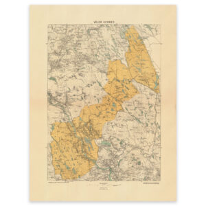

 Buskerud 1845


Buskerud 1845
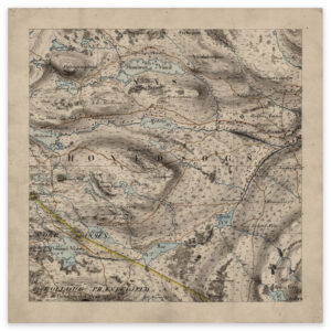
Hand-drawn map of parts of Buskerud, the area Tunhov, Rukkedalen. The map is made by C. The map is delivered in original size 26.4 x 26.4 cm. The size with frame and passepartout is 46.4 x 48.4 cm. Do you want the map in a different size? Just get in touch – we’ll be happy to give you a quote for customization.