 Buskerud 1856
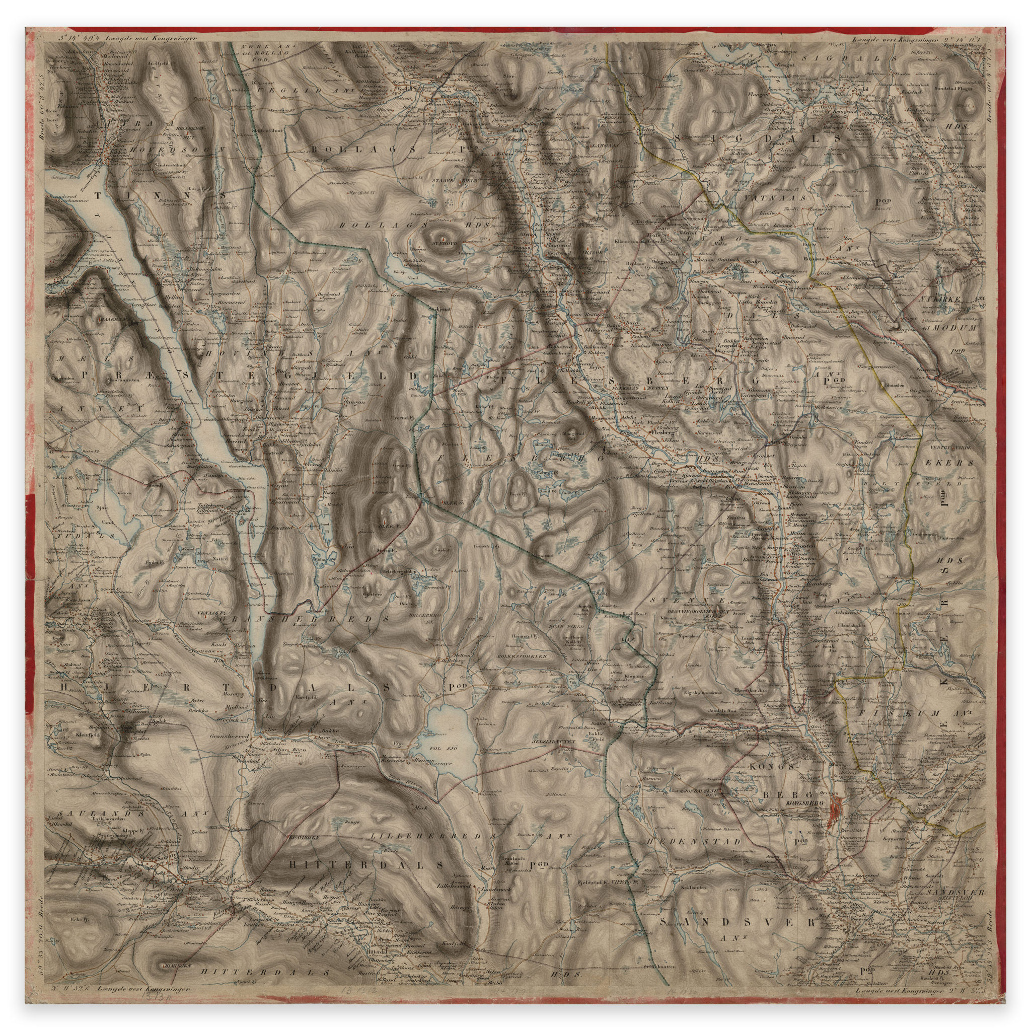


Buskerud 1856
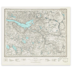
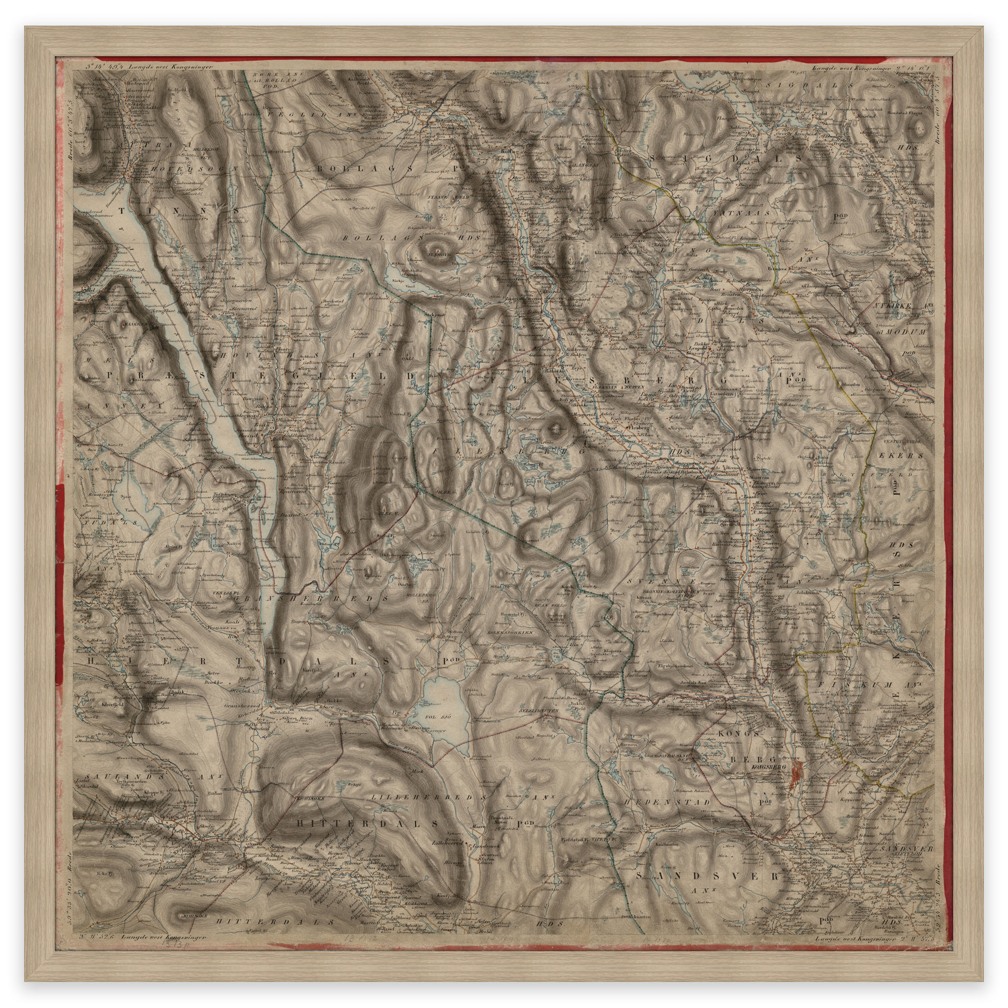
This map was hand-drawn in 1856 by Linthoe and Radich and shows parts of Buskerud and Telemark county, the area of Kongsberg and Tinnsjøen. The map is delivered in original size 58.5 x 58.3 cm. The size with frame and passe-partout is 76.5 x 77.3 cm. Would you like the map in a different size? Just get in touch – we’ll be happy to give you a quote for customization.