
Description
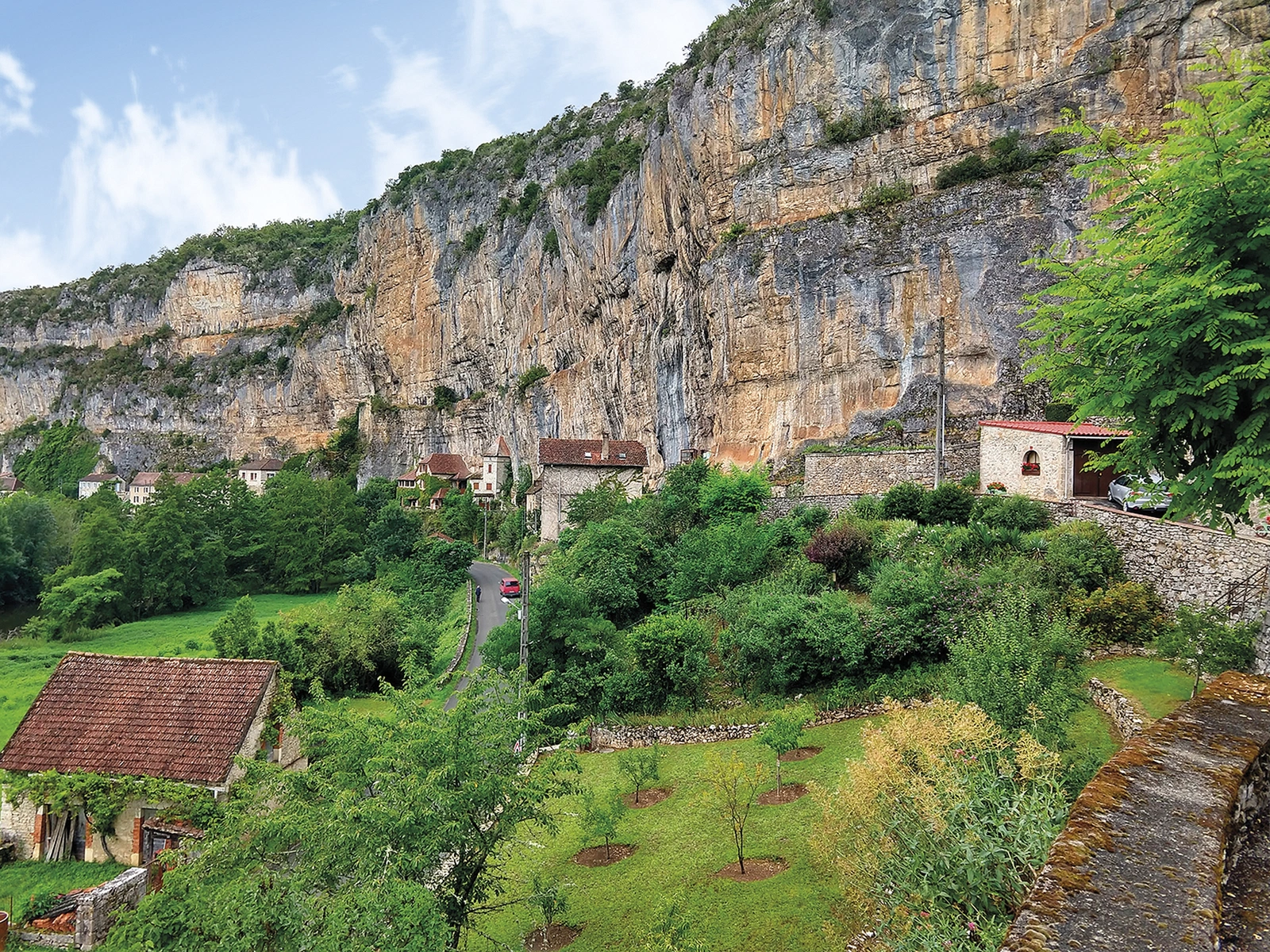
The landscape and the journey
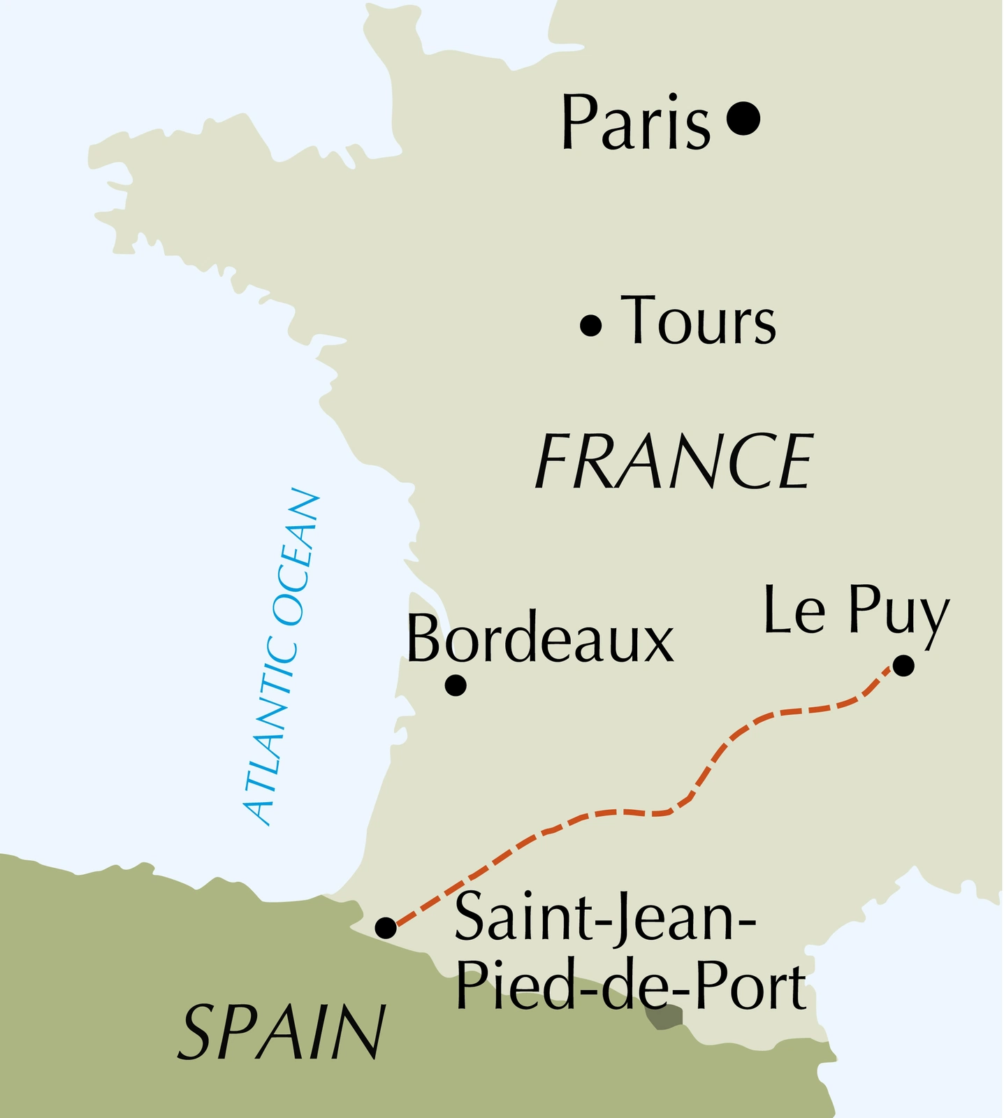
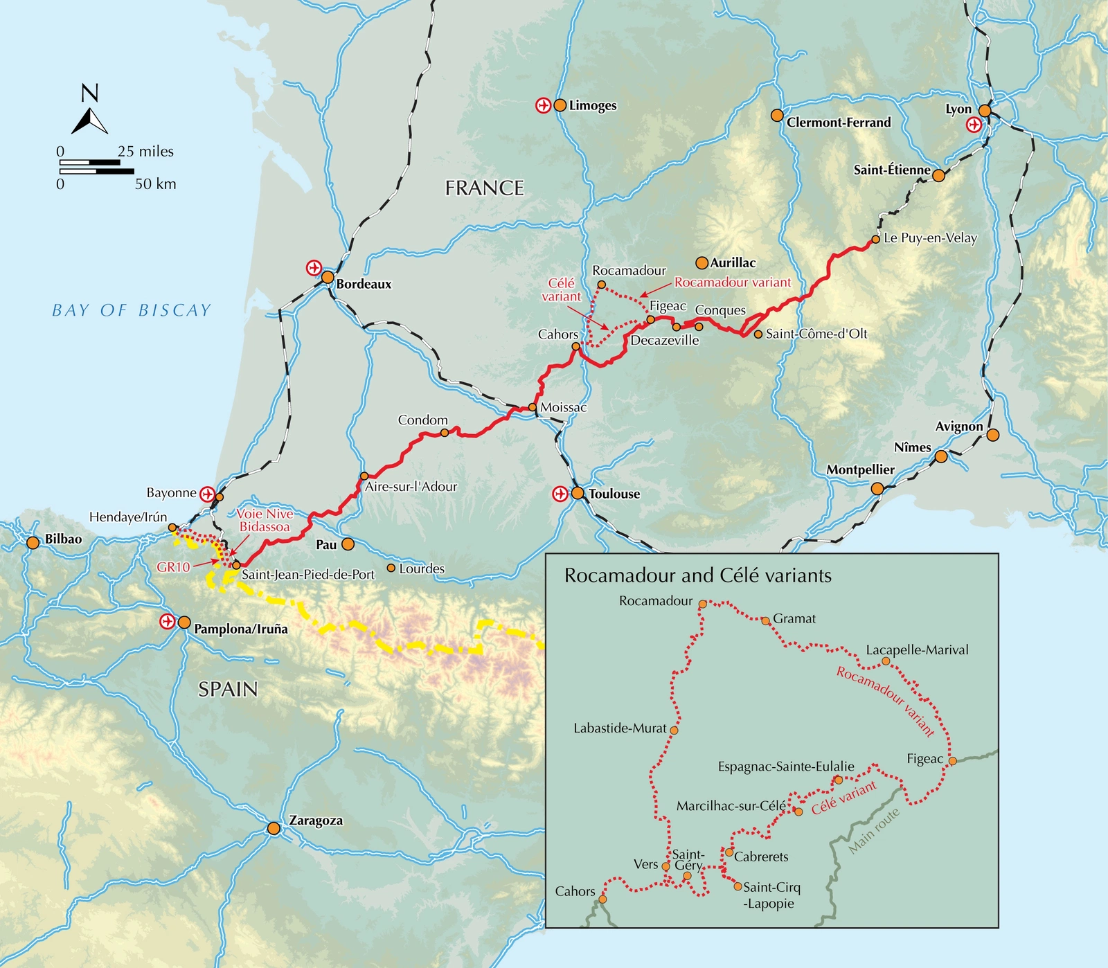
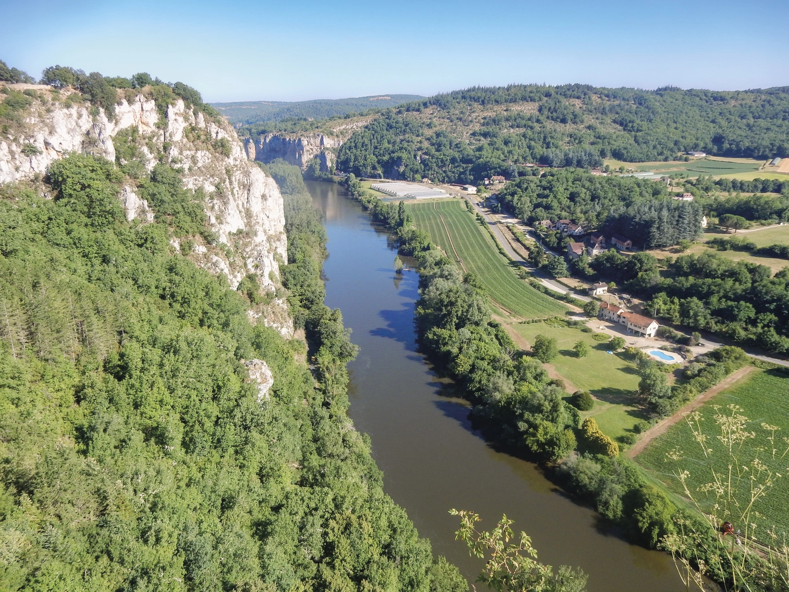
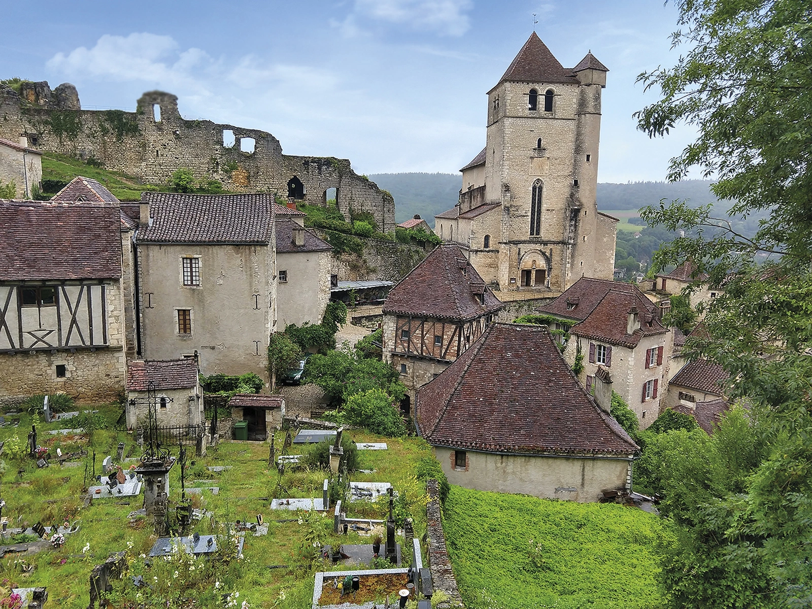
The Via Podiensis, or Chemin du Puy, crosses southern France from Le Puy-en-Velay to Saint-Jean-Pied-de-Port, where the Camino Francés continues into Spain. Dave Whitson’s guide covers the French journey through villages, valleys and the Aubrac plateau.
Routes and itinerary options
The approximately 735-kilometre main route has 28 daily stages. Célé Valley and Rocamadour alternatives offer different experiences; Conques, Estaing and Lauzerte provide memorable landmarks. Advice on walking in sections helps you plan a shorter pilgrimage or return to continue a previous journey.
Maps and practical planning
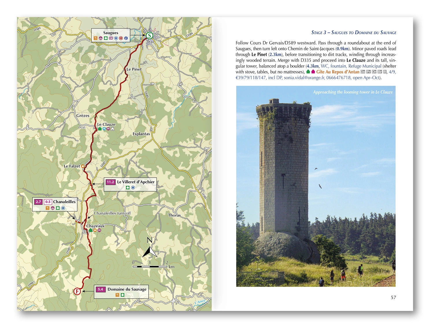
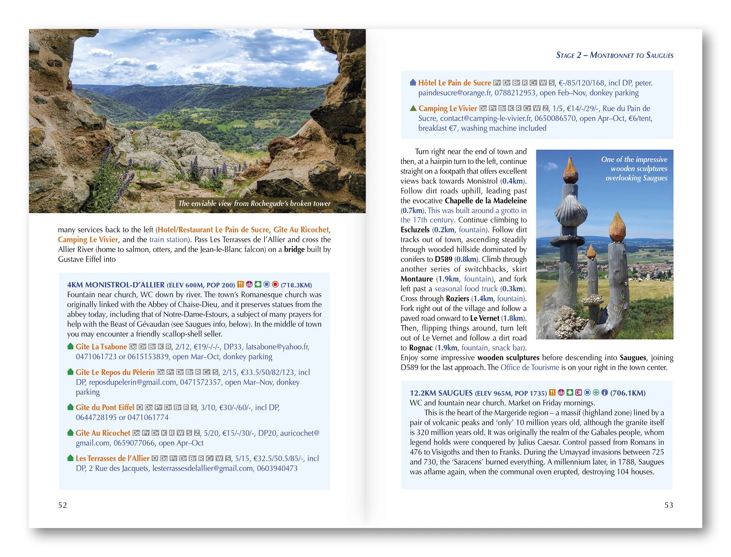
1:100,000 maps, town plans and GPX files from Cicerone support stage data on endpoints, elevation, accommodation and meals, including gîtes and inns. Pilgrimage and community background adds context. Use the route information to compare stages, plan your stops and check practical arrangements before departure.
Choosing the right trip
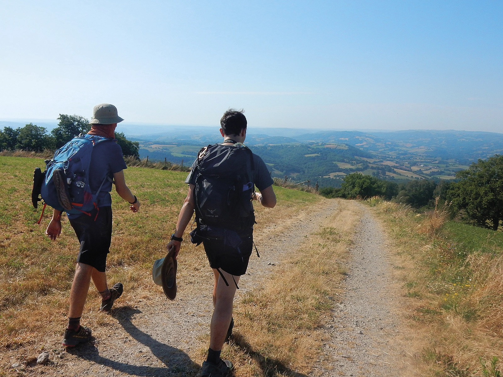
The complete walk takes several weeks. Consider hills, daily distance, temperature and open services when choosing your pace and spring-to-autumn dates. Choose an itinerary that fits your experience and available time, allowing flexibility for weather and local conditions.
About this edition
English-language guidebook by Dave Whitson. First edition published in 2022, with subsequent reprints. 296 pages. ISBN 9781786311023.