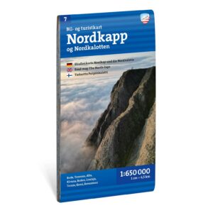
Description
Nordkapp bil- og turistkart 1:650 000 is a practical road map for those who want to experience Northern Norway and the journey to Nordkapp by car, motorhome or motorcycle.
The map covers the northernmost parts of Scandinavia and provides a good overview of roads, towns, ferry connections and important destinations. Sights, nature experiences and interesting stops along the route make the map well-suited for both planning at home and use during the journey.
With a scale of 1:650,000, you get an overview of large distances, which is particularly suitable for longer trips through Northern Norway, the North Calotte and the areas around the North Cape.
The map is printed on durable material that can withstand active use on the journey. It’s a good choice for anyone planning a classic Norwegian holiday in the north – whether you’re traveling along the coast, through the fjord landscape or all the way to the North Cape.
The map is released in 2026.