Description
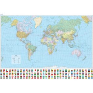
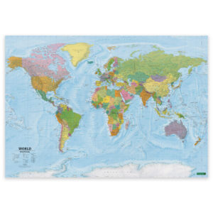
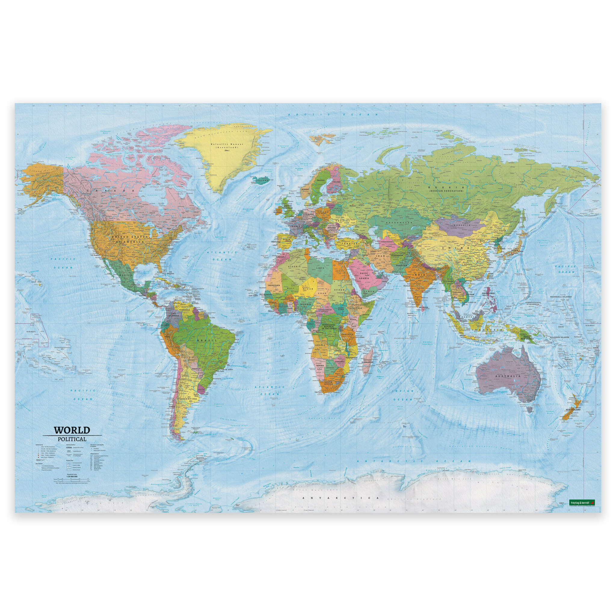
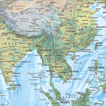
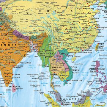
World Map – Political is a classic and clear world map at a scale of 1:20,000,000, which combines political division with physical geography. The map shows countries and borders, major cities and key natural features, providing a balanced and easy-to-read world view suitable for both orientation and learning.
The map is in English and is published by Freytag & Berndt, a renowned European map publisher with a long tradition of precise and reliable cartography. This edition has been recently updated and provides a modern and accurate map image that works well in teaching, in the office or as informative wall decor.
This is a pre-produced map poster in fixed format. The map is delivered as a poster and cannot be customized with alternative materials, sizes or framing like Kart.no’s own world maps, which are produced to order. The poster is well suited where you want a classic world map with clear political and physical content, ready to use straight from the package.