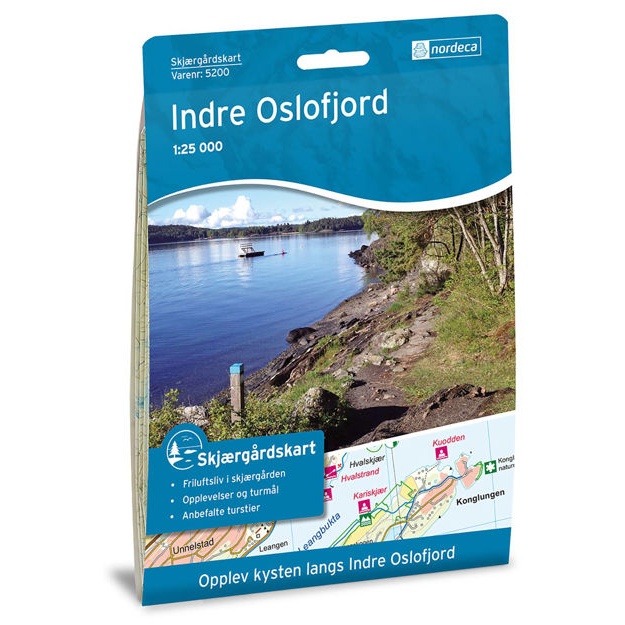
Description
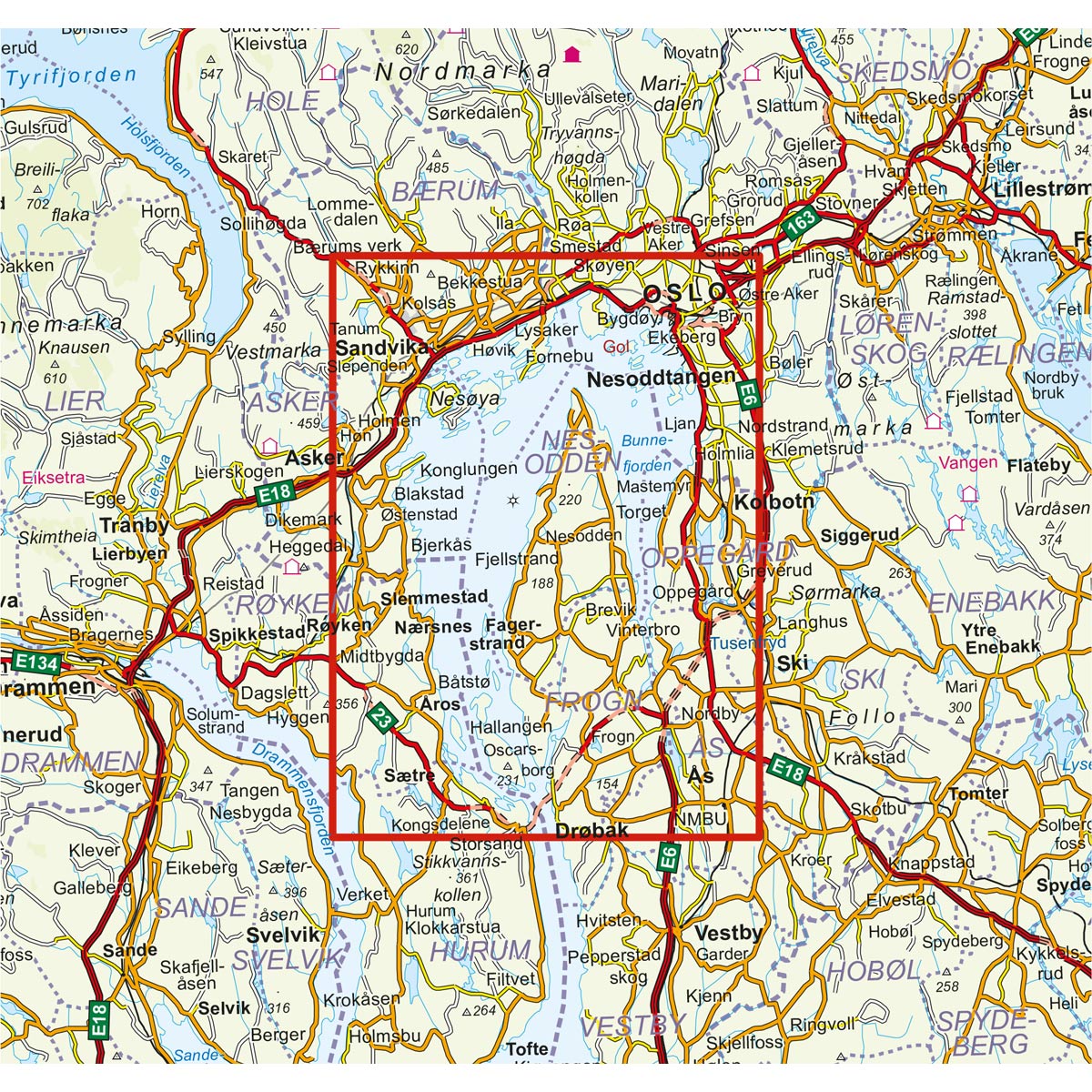
The coastal map provides a clear representation of the coast and archipelago in the Inner Oslofjord, adapted for practical use in trip planning and coastal experiences.
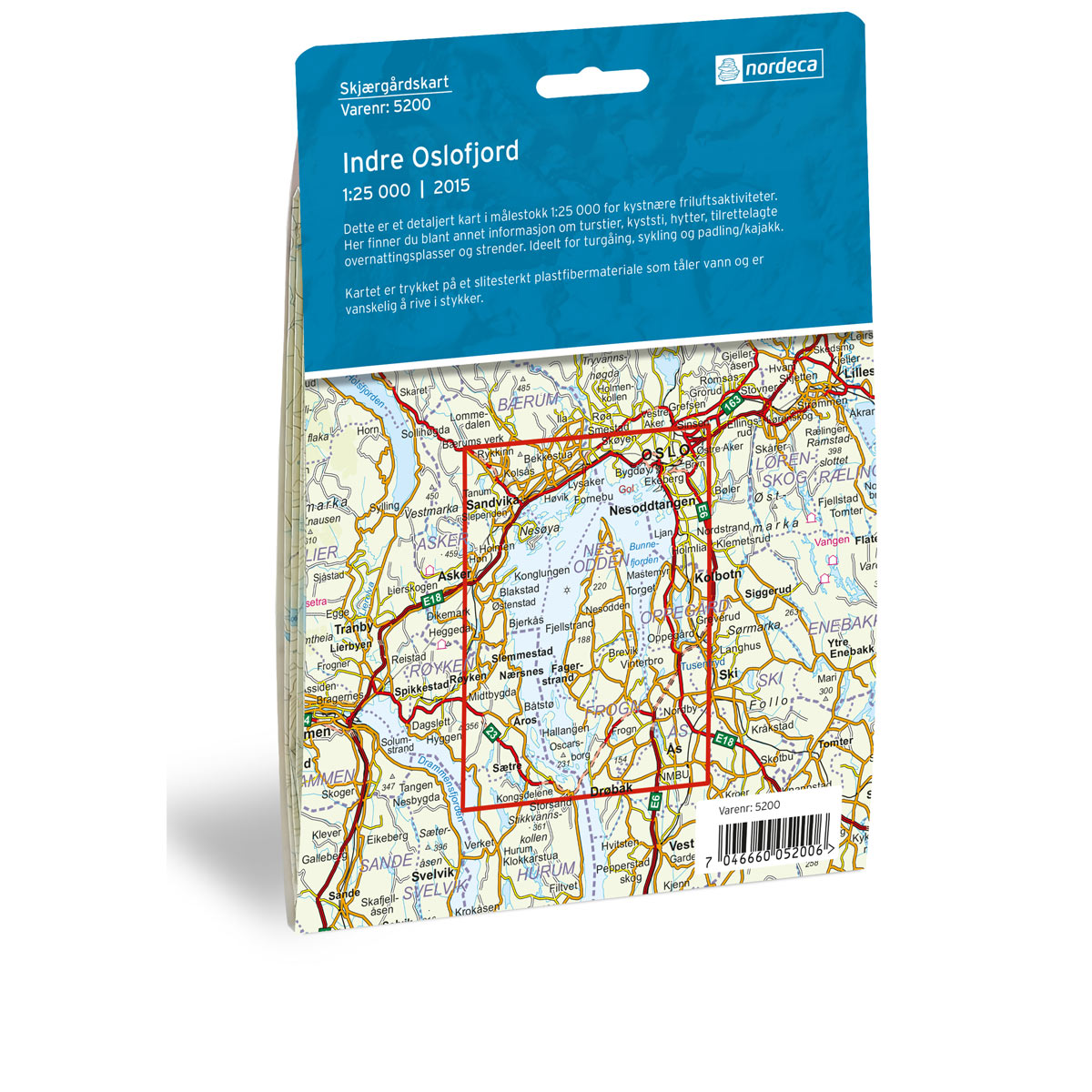
The map is printed at a scale of 1:25,000. The guide is printed on water-resistant and durable map paper that withstands rough use on board. The map is an excellent tool for gaining an overview of the area, both before and during your trip.
Important: This is a recreational and overview map, and not an official nautical chart for navigation. For voyages requiring fully updated and authoritative nautical charts, we recommend the official charts from the Norwegian Mapping Authority.
The map was updated in 2015. Although some details may have changed since the update, the map still provides a good overview of the area and is suitable for inspiration and as a travel aid on your boat trip.