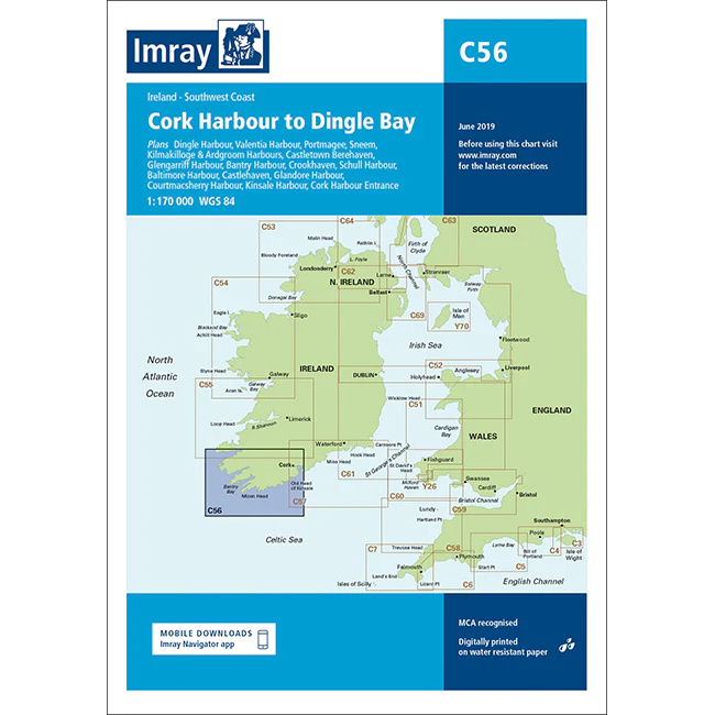
Description
This boating map covers the southwest coast of Ireland from Cork Harbour to Dingle Bay. The area offers a varied and rugged coastline with deep bays, peninsulas, islands and several key harbors that are heavily used by yachts and cruisers.
The chart is ideal for route planning and overview navigation when sailing along the southwest coast of Ireland, where tides, weather and Atlantic swells play a key role. It provides a clear representation of the main features of the waters and is often used in conjunction with more detailed port and local charts for safe navigation.
Imray is a renowned British chart manufacturer with extensive experience in nautical charts and publications for leisure boats. Their charts are designed with practical on-board use in mind, combining clear cartography with reliable nautical information for sailors and powerboaters.