Description
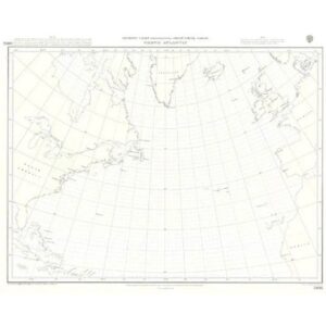
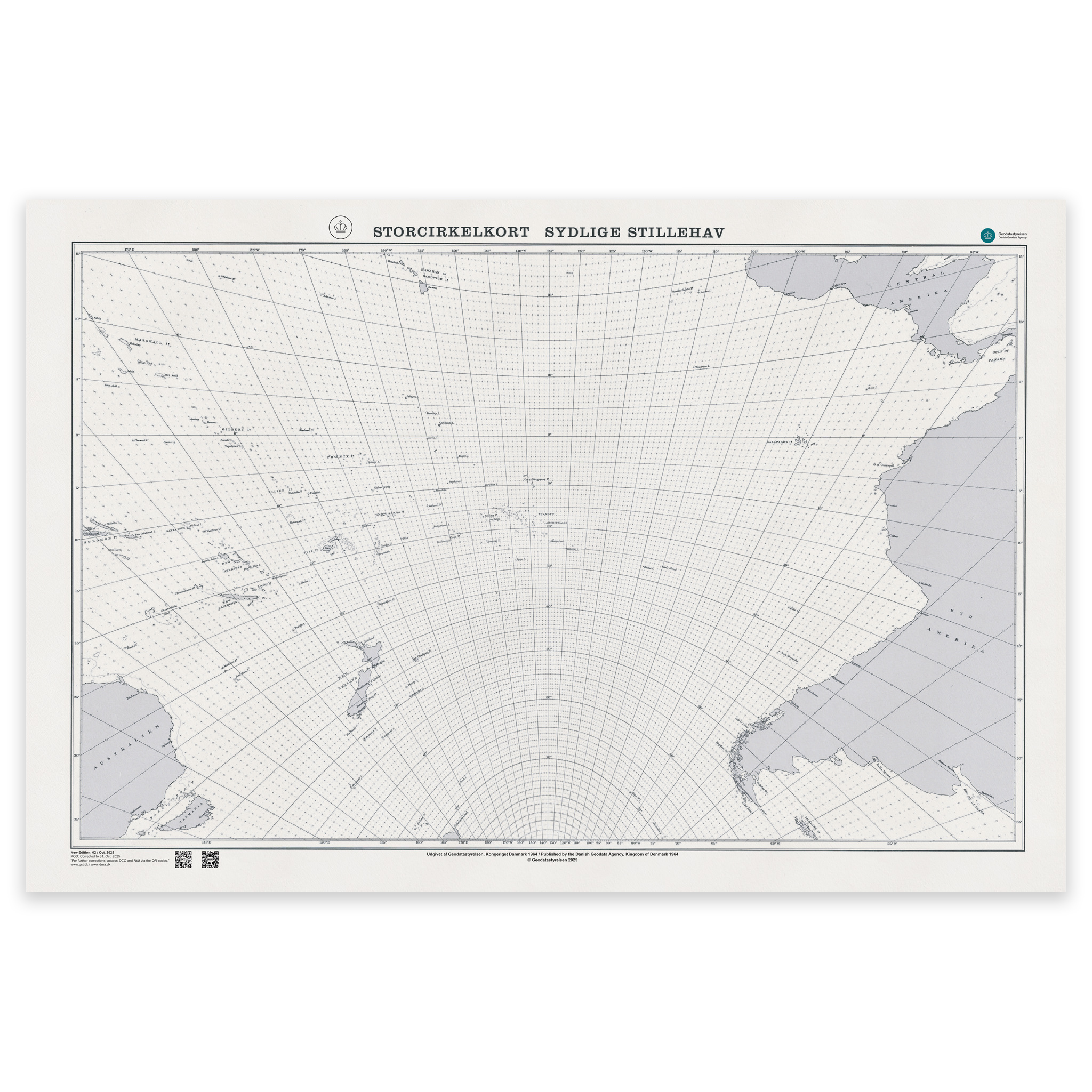
Denmark Chart SC-S – Great Circle Chart (Southern Ocean Areas) is an official planning chart published by the Danish Geodata Agency.
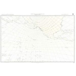
This is a Great Circle Chart developed for route planning across large ocean areas, where great circle sailing is used to calculate the shortest distance between two points on the globe.
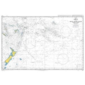
The chart covers southern ocean areas and is particularly suitable for long-distance sailing in southern waters, planning routes between Europe, Africa, South America and other southern regions, as well as ocean navigation training and teaching great circle navigation. It is also a valuable tool for professional route planning for ocean-going vessels.
A great circle chart shows a projection grid that makes it possible to construct and measure great circle routes directly on the chart. It does not contain detailed hydrographic data such as depths, shoals and harbour information to the same extent as standard nautical charts.
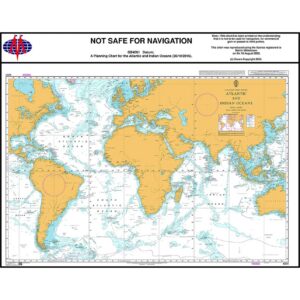
The chart is therefore used as a supplement to regular navigation charts when planning ocean voyages.
The chart is delivered as Print-on-Demand (POD) under licence from the Danish Geodata Agency. It is printed upon order and updated to the latest available Notices to Mariners at the time of production.
The chart is produced on durable, matte 125 g paper approved for official nautical charts.
Corrections are published continuously, and with Print-on-Demand you receive the most up-to-date paper edition available at the time of ordering.