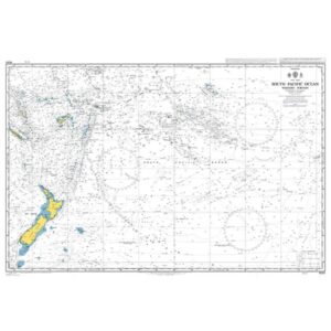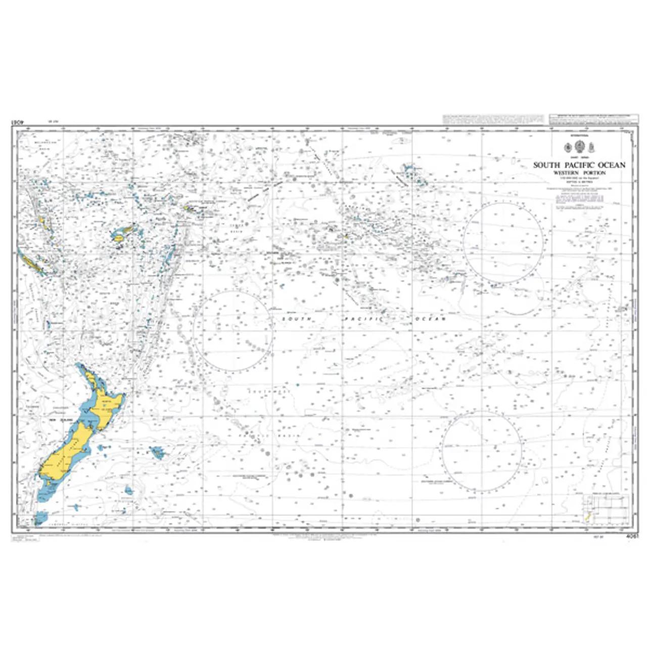
Description
This British Admiralty chart covers the western part of the South Pacific, with extensive waters between Australia, New Zealand, Melanesia, Polynesia and adjacent island groups. The chart provides a comprehensive overview of a very large and open ocean area that is central to long-distance sailing in the Pacific.
The chart is designed for route planning and strategic navigation, and is suitable for general sailing planning, teaching and reference use. It shows main sailing directions, major geographical contexts and distances, but is not intended for detailed navigation near the coast or in harbor areas.
This chart is suitable for sailors, professional navigators and maritime operators who need a planning chart of the western South Pacific, either as a supplement to operational charts or as support in preparatory navigation work.