Description
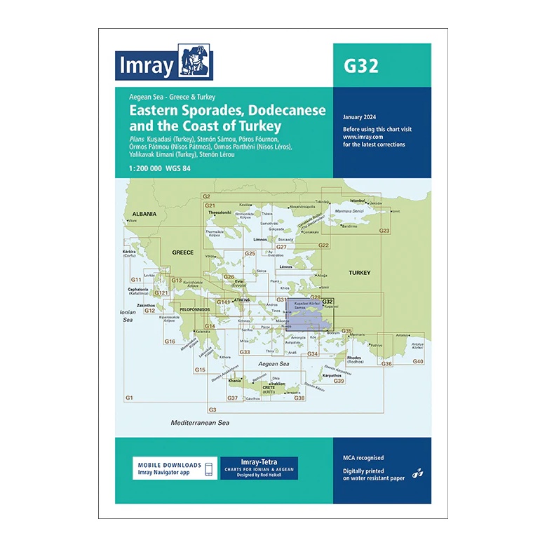
This overview chart from Imray covers the Eastern Sporades, parts of the Dodecanese and the adjacent Turkish coast in the Eastern Aegean. The map provides a comprehensive regional overview of a complex and popular sailing area with short distances between Greek islands and Turkish ports.
The map includes plan views and approaches to Kuşadası (Turkey), Sámos, Pátmos, Léros, Kalýmnos, Bodrum Peninsula, Yalıkavak Limanı (Turkey) and Sími, among others. Designed for passage and route planning, it is particularly useful for sailors who combine sailing between Greece and Turkey within the same area.
Printed on water-resistant paper and manufactured to MCA approved standards, with support for digital updates via the Imray Navigator app.