

Description
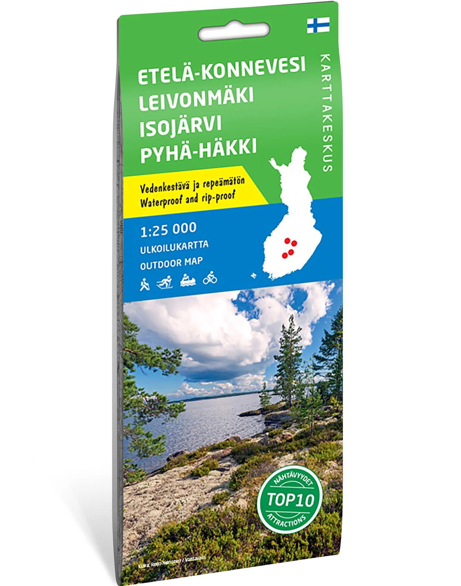
Four national parks on one map. A detailed hiking map of Etelä-Konnevesi, Leivonmäki, Isojärvi and Pyhä-Häkki in central Finland. The 1:25,000 scale is ideal for exploring hiking options within each park and planning visits to several areas.
Forests, lakes, and wetlands. Pyhä-Häkki is known for its old-growth pine forest, while Isojärvi offers an elongated lake landscape and forest bearing traces of past forestry. In Leivonmäki, trails wind through wetlands and along ridges. Etelä-Konnevesi is well suited for both paddling and hiking.
A waterproof map for your backpack. The map sheet measures 70 × 100 cm and is made of durable Tyvek. It is a foldable map that withstands moisture and repeated handling. The map is published by Karttakeskus and distributed through Calazo.
Practical information: Scale 1:25,000. Map sheet 70 × 100 cm. Publisher Karttakeskus. Last revised in 2019 according to Calazo. ISBN 9789522665324.
