
Description
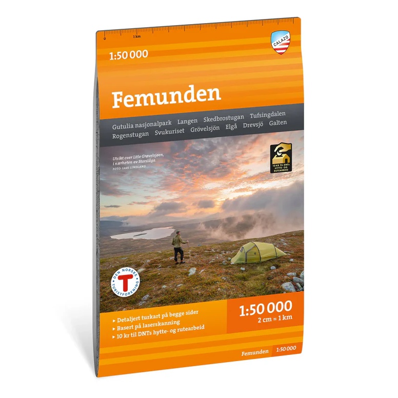
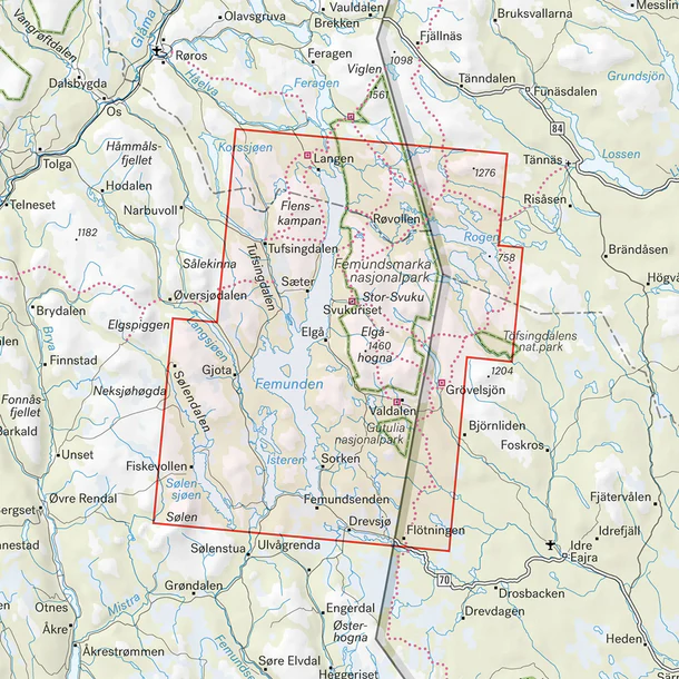
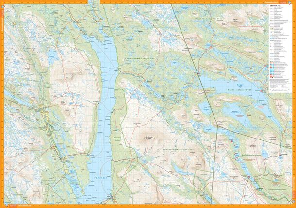
The Femundsmarka hiking map (scale 1:50,000 ) covers the Femundsmarka area and is designed for those who want to plan hikes and outdoor adventures.
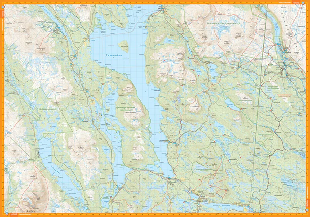
The map shows trails, roads, terrain information, water bodies, natural areas, and other useful information for planning and undertaking trips. It is well-suited for hiking, biking, and outdoor activities, whether you’re going on a day trip, a longer hike, or simply want a better overview of the area.
With a scale of 1:50,000, you get a solid map base for mountains, valleys, trails, waterways, and Norwegian hiking areas. Calazo maps are designed for active use and printed on durable, water-resistant material that withstands moisture and repeated folding better than standard paper maps.
The map was last revised in 2024.