Description
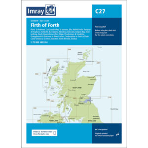
This boating map covers the Firth of Forth on the east coast of Scotland, including the coastal and inland waters around the Edinburgh area. The map includes detailed plans and approaches to St Andrews, Crail, Anstruther, St Monans, Elie, Methil Docks, Pettycur & Kinghorn, Inchkeith, Burntisland, Aberdour, Dalgety Bay, Inverkeithing, North Queensferry, Port Edgar, Charlestown & Limekilns, Grangemouth and the approach to the River Carron. The map also shows onward connections to the Forth & Clyde Canal.
The chart is well suited to leisure boats and sailboats operating in these busy and tidal waters, either for local sailing or as part of longer legs along Scotland’s east coast. With significant commercial traffic, strong currents and complex approaches, the chart provides a solid foundation for safe navigation and precise route planning.
Imray is a recognized British chart manufacturer with extensive experience in nautical cartography for leisure and long-distance sailing. Their charts are developed with a focus on high readability, practical use and clear presentation of navigation-relevant information.