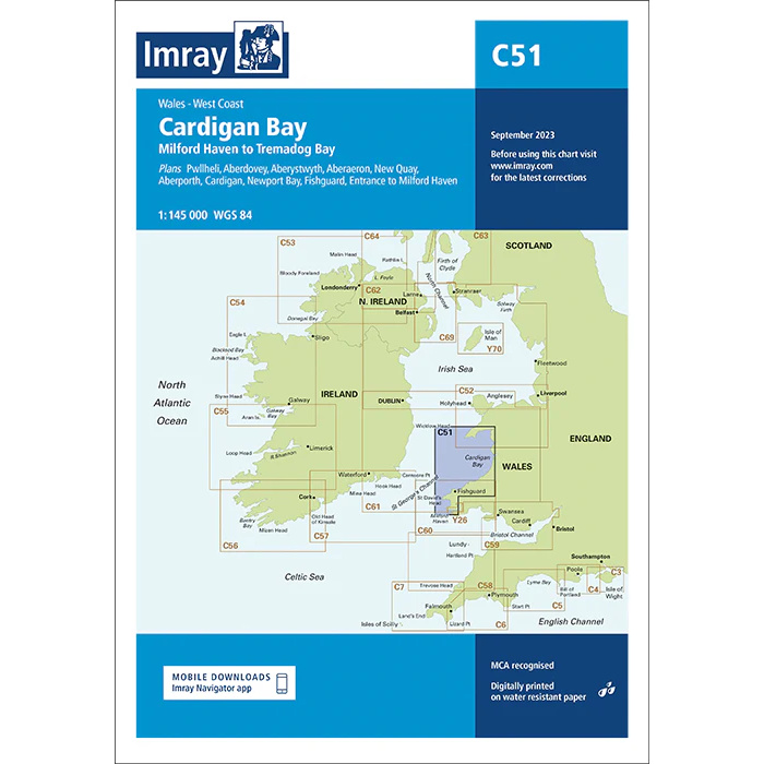
Description
This boating map covers Cardigan Bay on the west coast of Wales, from Milford Haven in the south to Tremadog Bay in the north. The area includes varied stretches of coastline with open bays, estuaries and several key harbors and anchorages popular with leisure boaters and sailors.
The chart has been developed for route planning and overview navigation along the Welsh west coast, where tides, weather and currents play a key role. It provides a clear representation of coastlines, main channels and approaches to key ports, and is often used in combination with more detailed port and local charts for safe navigation.
Imray is a renowned British chart manufacturer with extensive experience in nautical charts and publications for leisure boats. Their charts are designed with practical on-board use in mind, combining clear cartography with reliable nautical information for sailors and powerboaters.