
Description
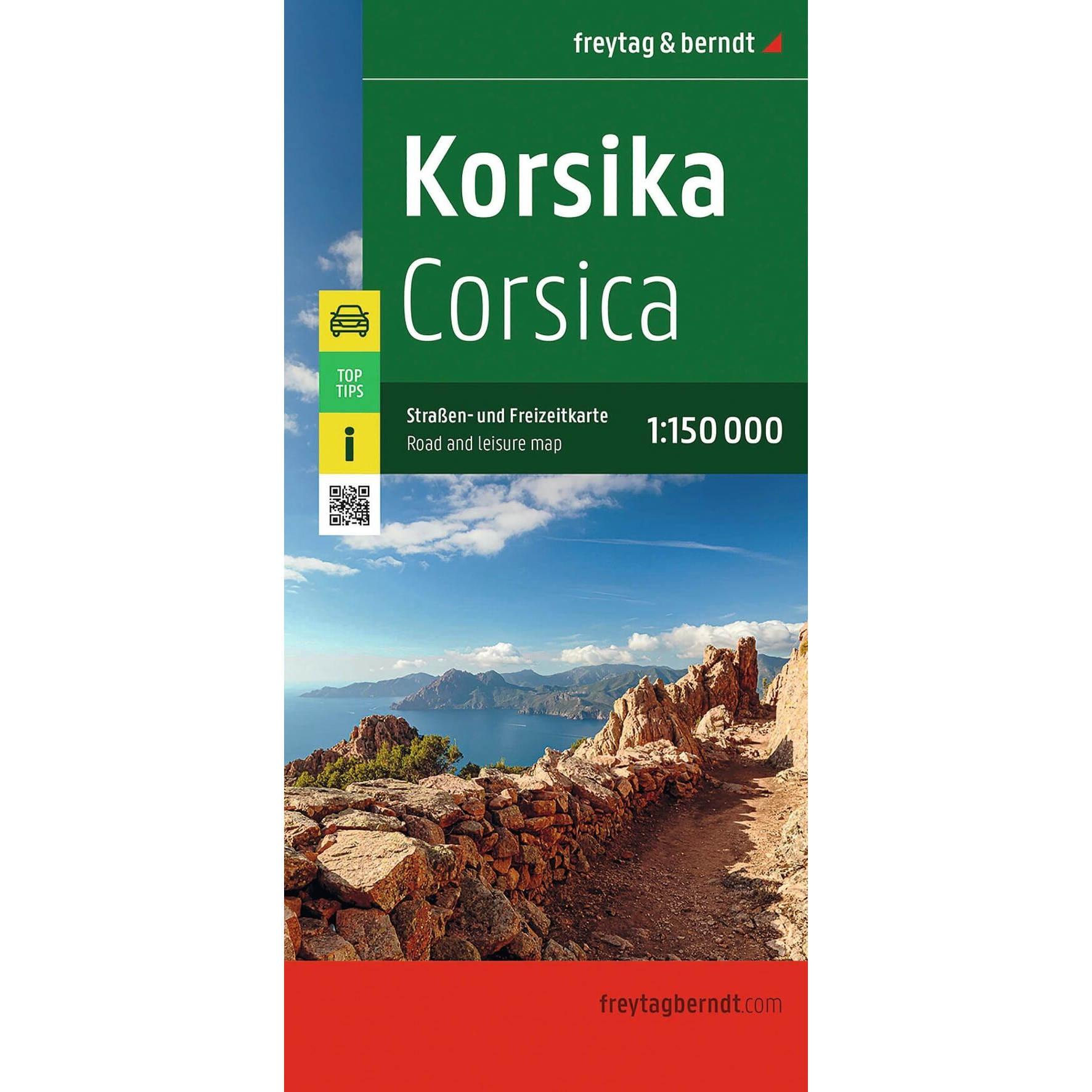
Corsica – Road Map (Multilingual) by Freytag & Berndt is a detailed road and leisure map covering the entire French Mediterranean island of Corsica. The map is designed for travelers by car, motorcycle, and RV, and provides a clear overview of the road network combined with useful tourist information.
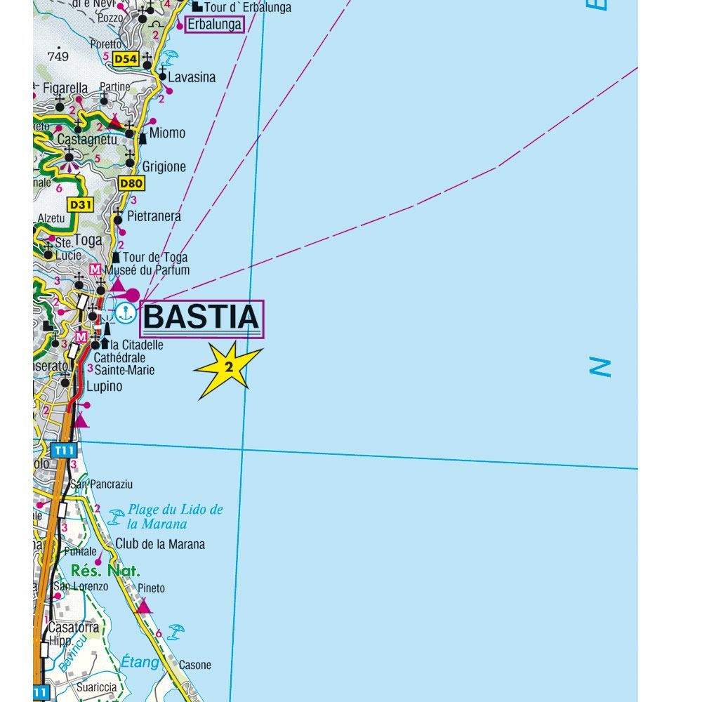
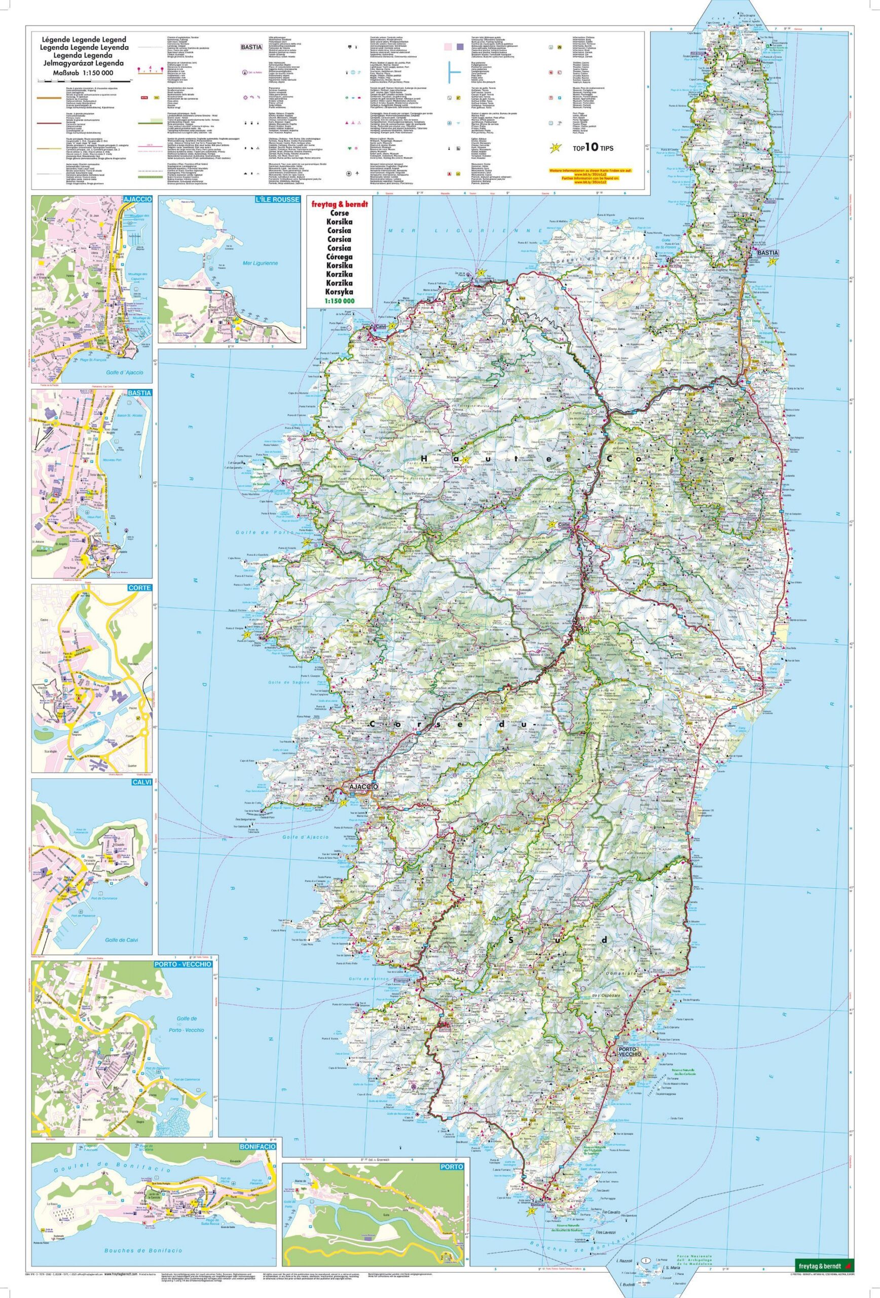
The map is printed at a scale of 1:150,000 and shows major roads, minor roads, and distances, as well as a number of tourist attractions throughout the island. In addition, the map includes campgrounds, RV parks, city maps, a place index with a digital index, and a handy overview that makes it easy to find your way around both while planning and during your trip.
On the back, you’ll find “Top Tips,” which presents ten of Corsica’s most important attractions in several languages (German, English, French, and Italian). The map covers , among other places , Ajaccio, Bastia, Corte, Bonifacio, Calvi, and Sartène, and is suitable for both round-trip tours and longer stays on the island.
With an unfolded size of approximately 130 × 87.5 cm, the map provides a good overview while still folding easily into a convenient travel size. Freytag & Berndt is known for its precise cartography and well-designed road maps, and this edition is an excellent choice for anyone who wants to experience Corsica’s dramatic coastal landscapes, mountain roads, and historic towns.
Release year: 2026.