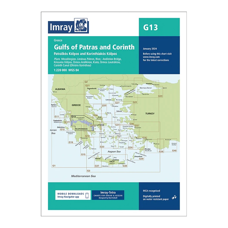
Description
This overview map from Imray covers the Gulf of Patras (Patraikós Kólpos ) and the Gulf of Corinth (Korinthiakós Kólpos), two key sailing areas in the transition between the Ionian and Aegean Seas. The map provides a clear regional overview of an area that is often used as a transit route between the west and east coasts of Greece.
The map includes plan views and approaches to Messolóngi, Liménas Pátron (Patras), Rio-Antirrio Bridge, Kríssaíos Kólpos, Ándikira, Kíato, Órmos Loutrákiou and the Corinth Canal (Dhioryx Korínthou). It is particularly suitable for route and passage planning, both for sailors going through the Corinth Canal and for coastal sailing in the bays.
Printed on water-resistant paper and manufactured to MCA approved standards, with support for digital updates via the Imray Navigator app.