

Description
The landscape and the journey
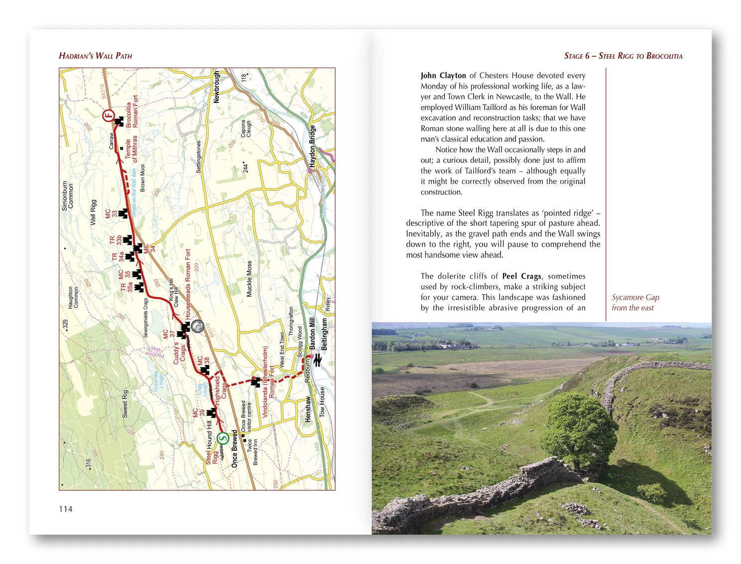
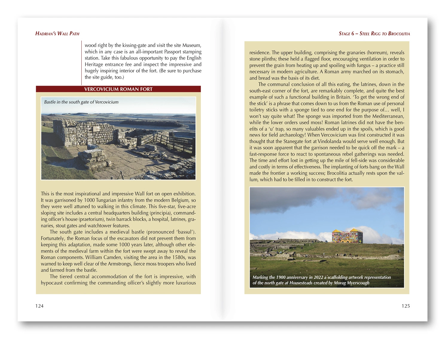
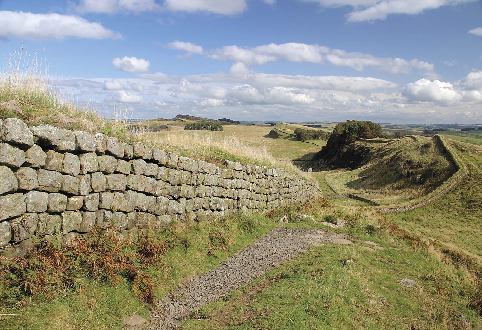
Mark Richards combines walking with the history of Rome’s northern frontier. Farmland, moors, ridges and surviving wall sections connect forts and towers, making this a journey where archaeological visits deserve as much time as the walking.
Routes and itinerary options
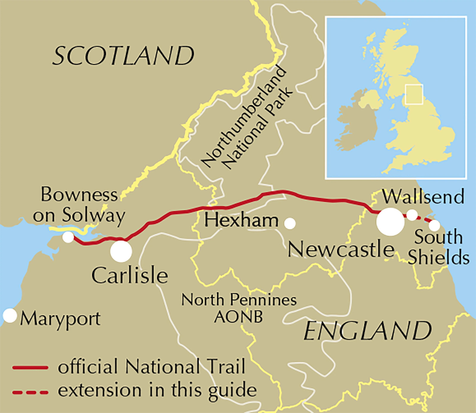
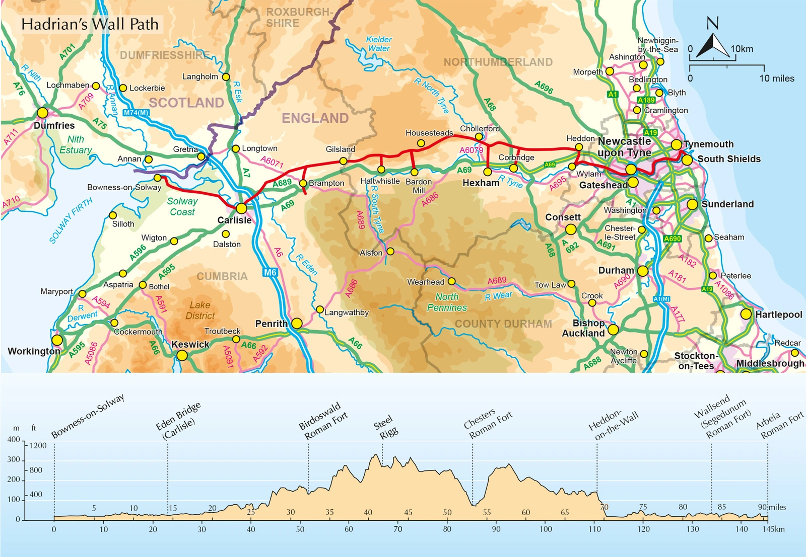
The approximately 135-kilometre National Trail has ten main stages between Bowness-on-Solway and Wallsend near Newcastle. Described primarily west to east, it also includes reverse directions and an optional extension to South Shields, with alternative schedules and shorter-section possibilities.
Maps and practical planning
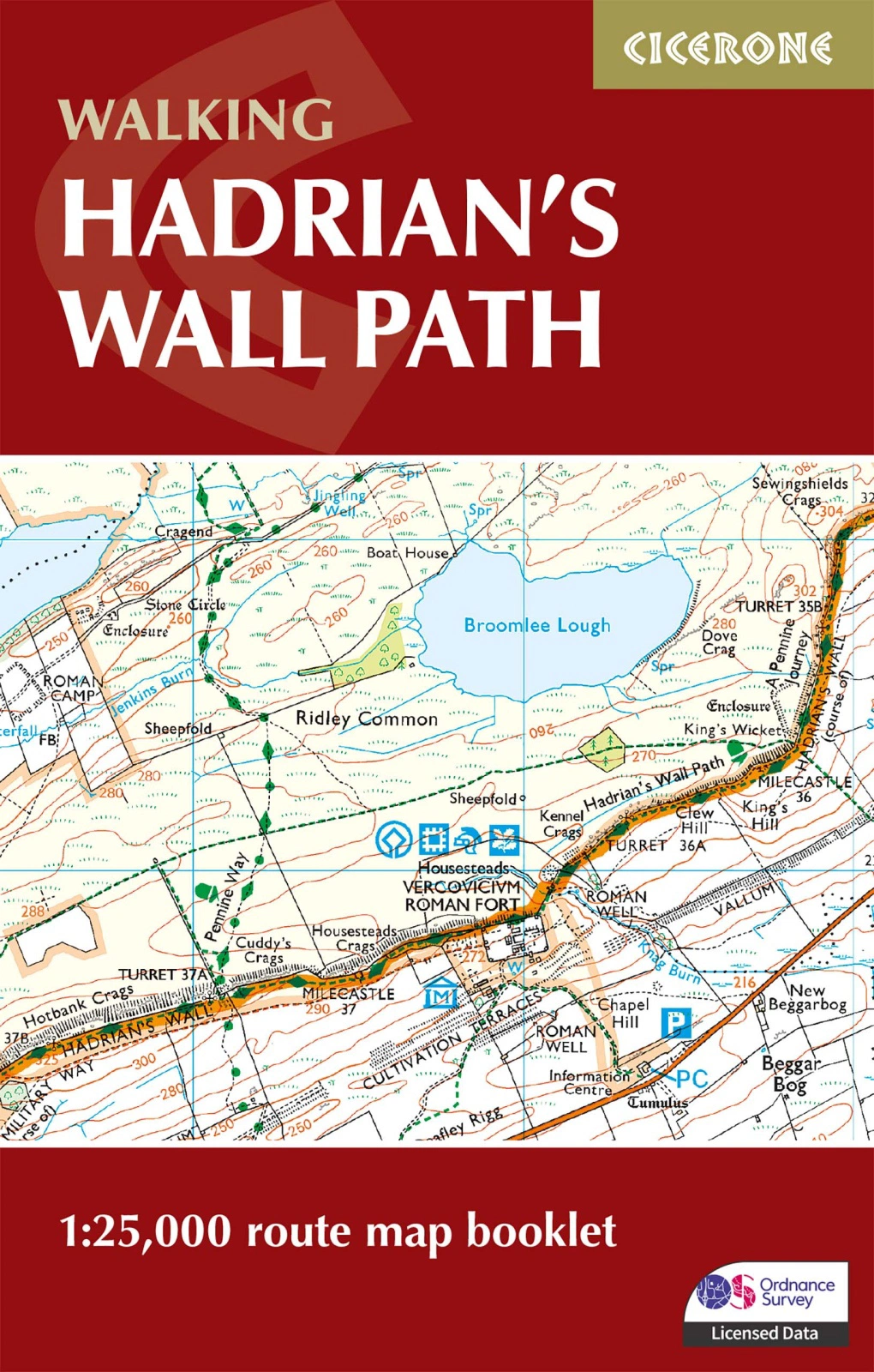
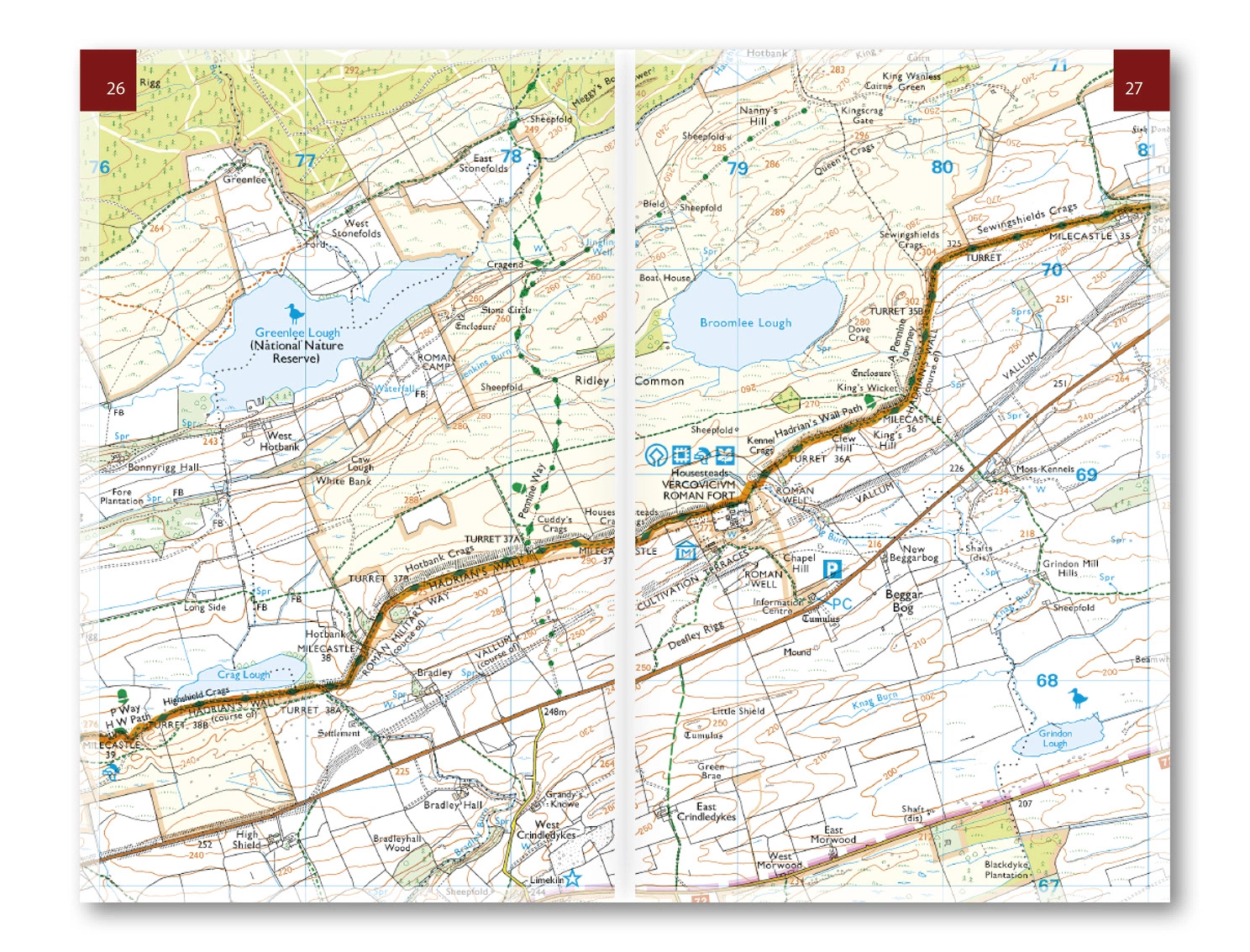
An included 1:25,000 OS booklet shows the route. Accommodation, facilities, rail connections and Cicerone GPX files support logistics; Birdoswald, Housesteads and Vindolanda feature in the historical background. Use the route information to compare stages, plan your stops and check practical arrangements before departure.
Choosing the right trip
A possible first long-distance walk still requires sensible distances and walking fitness. Exposed sections and hills matter over consecutive days; allow time for sites. Choose an itinerary that fits your experience and available time, allowing flexibility for weather and local conditions.
About this edition
English-language guidebook by Mark Richards. Fourth edition published in 2023, with subsequent reprints. 248 pages. Separate OS map booklet included. ISBN 9781786311504.