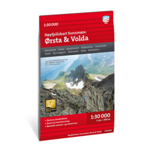
Description
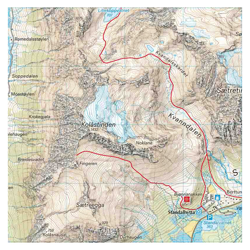
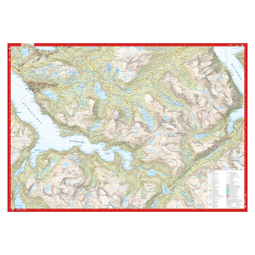
nan Mountain ridges, watercourses, glaciers and other natural features are shown in much greater detail with this technology. The map also contains more trails than any previous map of the same area. A map at a scale of 1:30,000 is useful for those planning a trip to Kolåstinden (1432 m) or Skårasalen (1540 m). The map can also be used by those who want to leave the marked trails to explore their own routes in the high mountains. Map on both sides: 70×100 cmUpdated: May 2022
Calazo Förlag is a Swedish publishing house specializing in maps and books for outdoor life in the Nordic region.
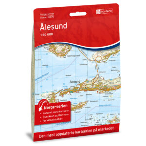
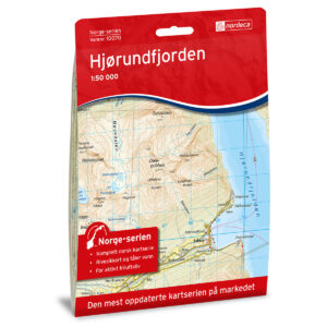
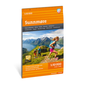
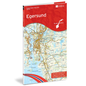
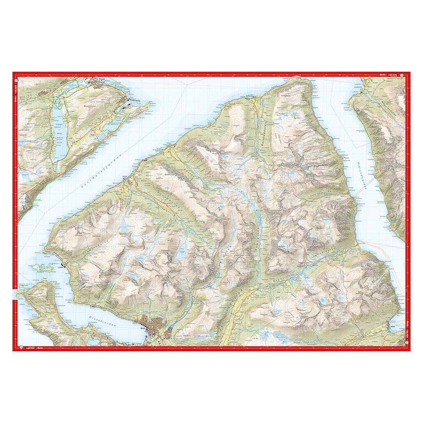
Here you can see the area the map covers:
The map is released in 2022.