
Description
The landscape and the journey
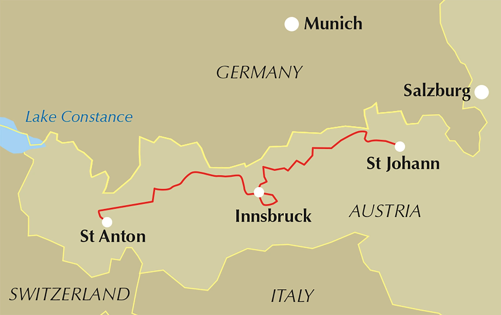
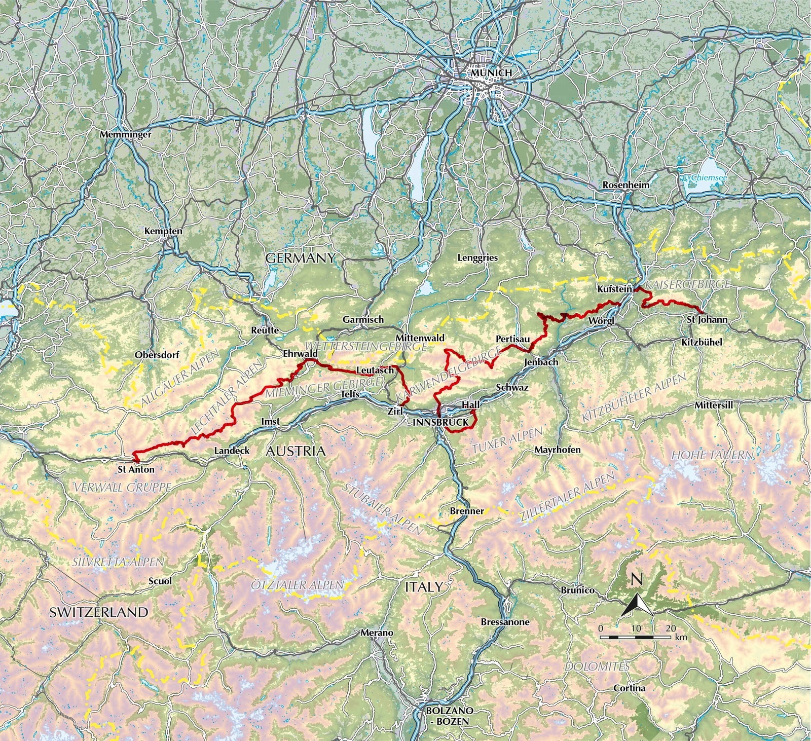
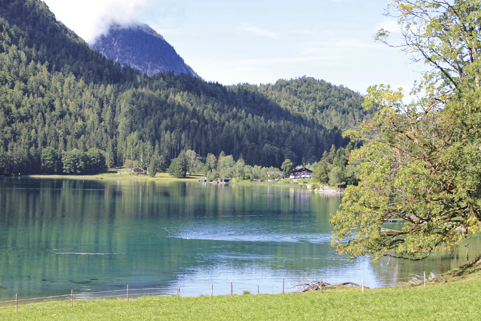
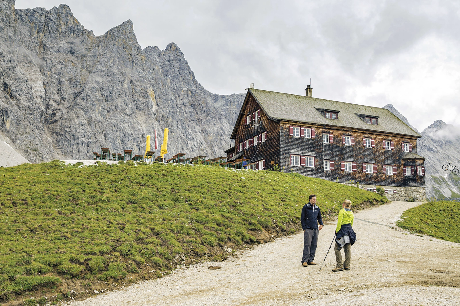
The Adlerweg links Tirol’s mountain regions from east to west, taking in the Wilder Kaiser, Rofan, Karwendel and Lechtal Alps. Innsbruck provides a convenient midpoint for dividing the journey or choosing a shorter stay.
Routes and itinerary options
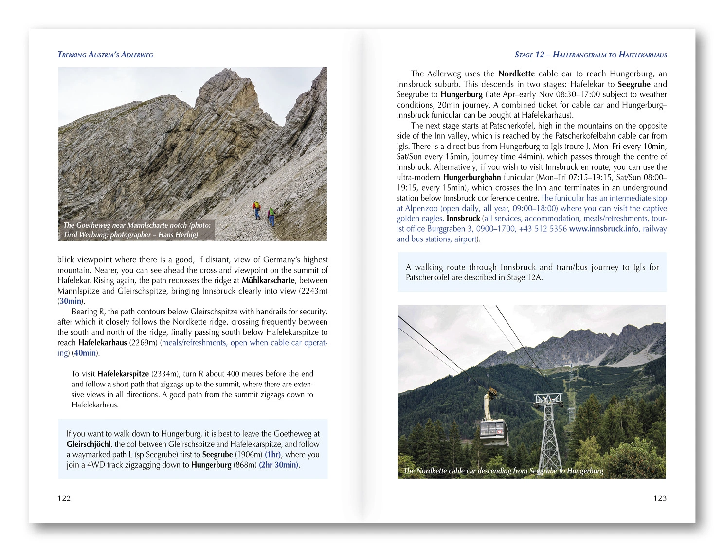
The 24 stages range from approximately 7 to 32 kilometres. Eastern and western sections have different characters, and easier alternatives are described for the hardest stages. Suggested itineraries and public transport connections help you adapt the route to your available time.
Maps and practical planning
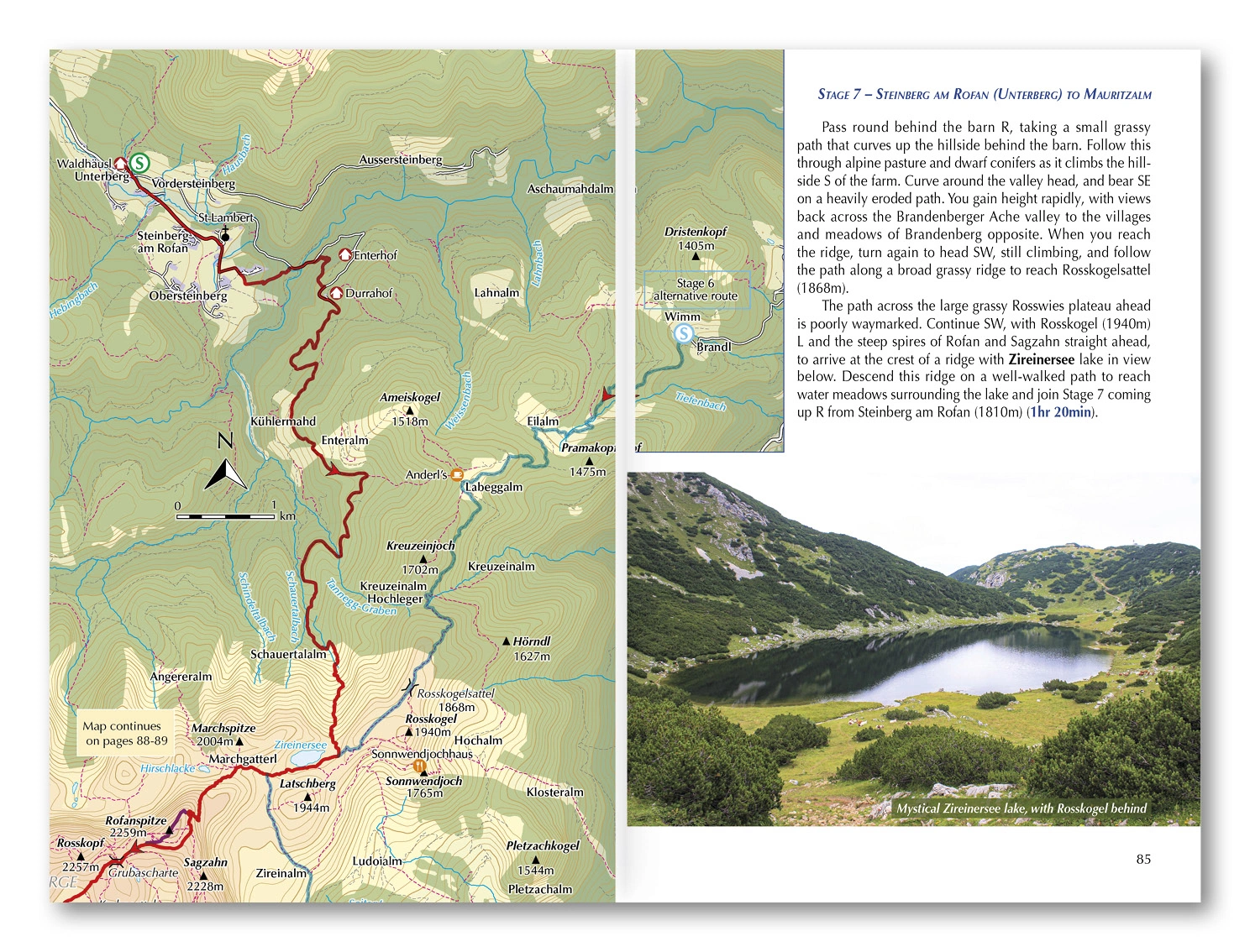
1:50,000 maps accompany the routes, with GPX files available from Cicerone. Stage data covers endpoints, altitude, ascent, timings, accommodation and food. Transport, equipment, natural history and culture support planning and help you identify where to book ahead or allow an easier day.
Choosing the right trip
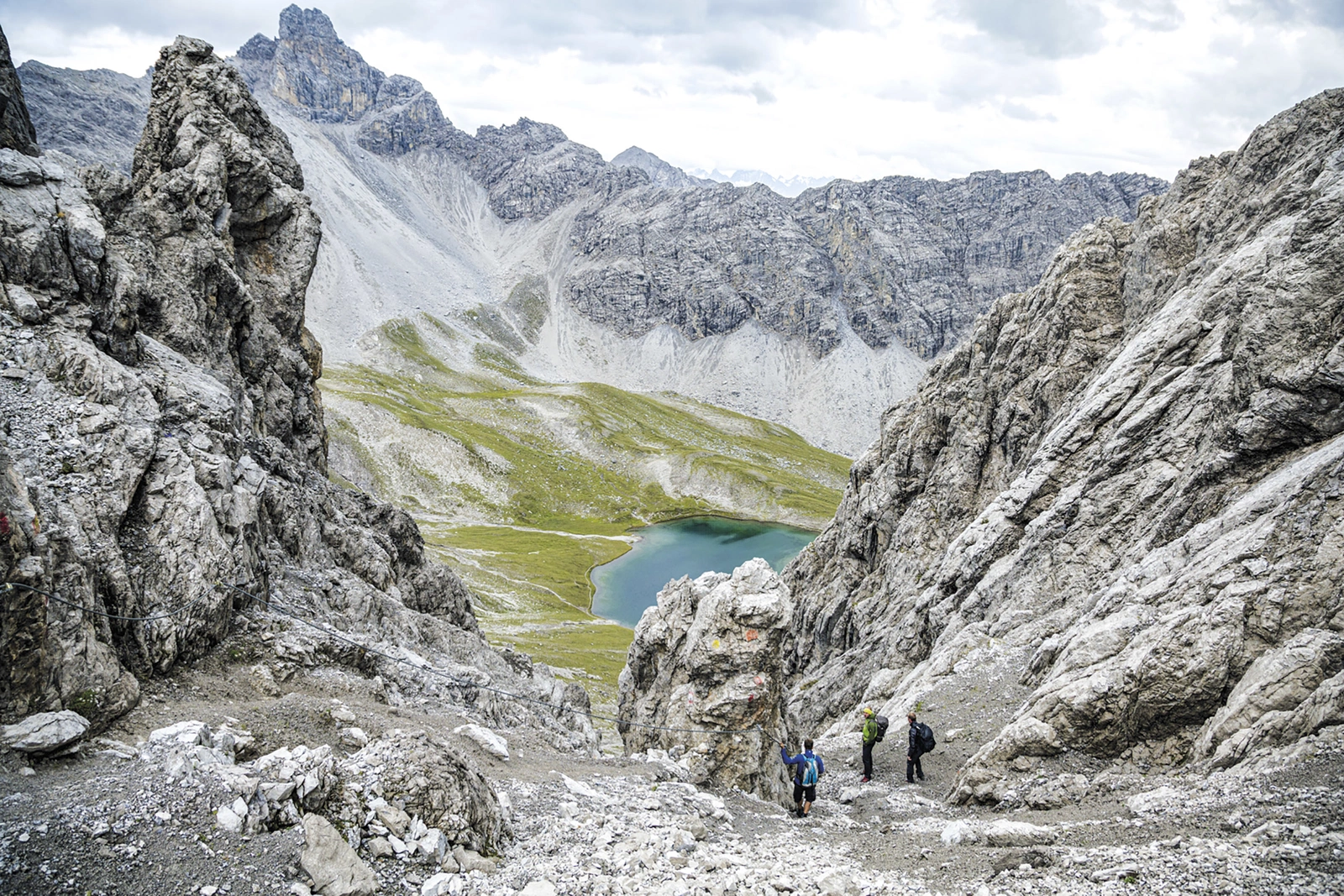
Substantial ascent and demanding Alpine sections require mountain experience and good fitness, even with alternatives. Summer to early autumn is the main period, subject to snow and hut opening dates. Choose stages that suit your skills and assess weather and conditions as you go.
About this edition
English-language guidebook by Mike Wells. Second edition, published in 2023. 232 pages. ISBN 9781786310903.