
Description
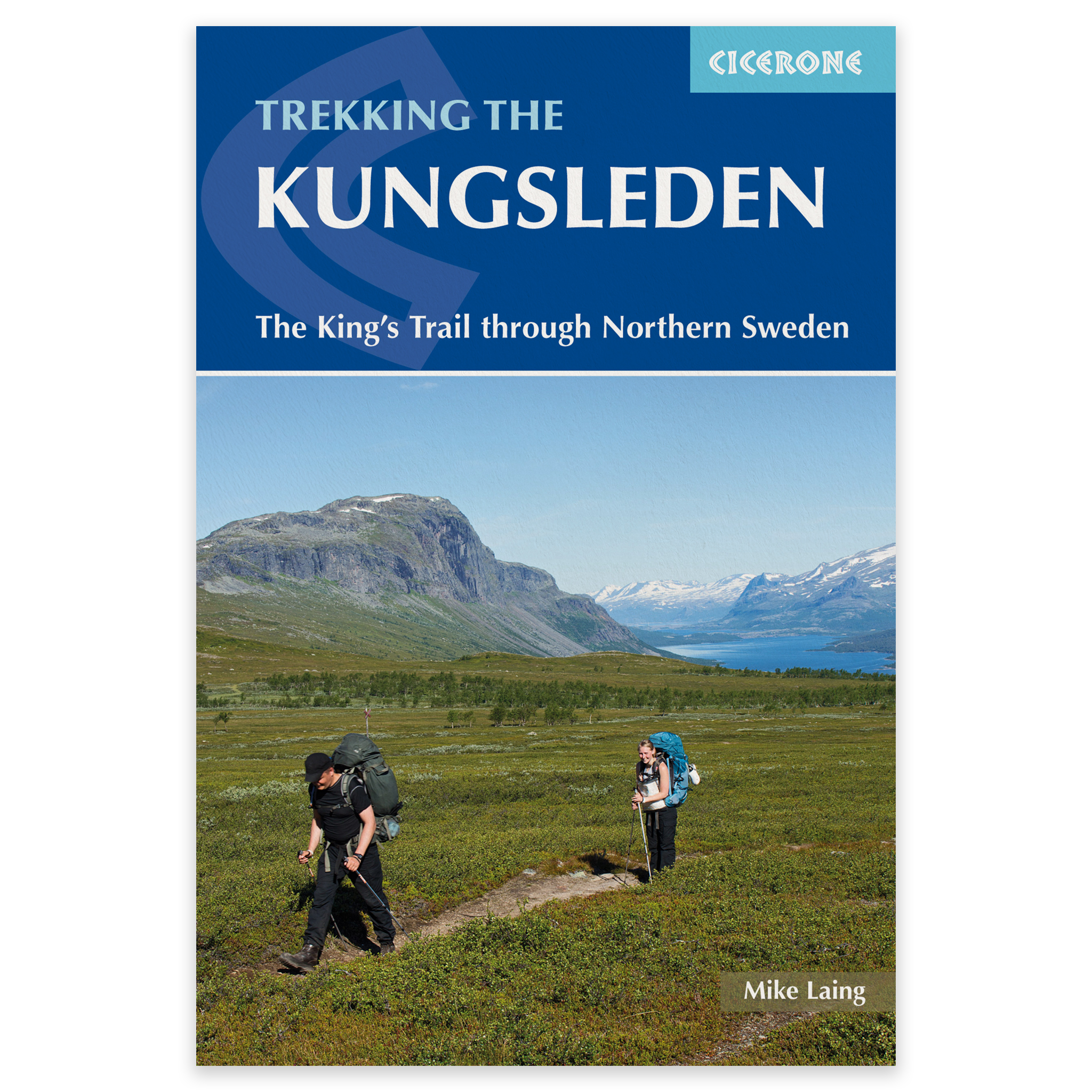
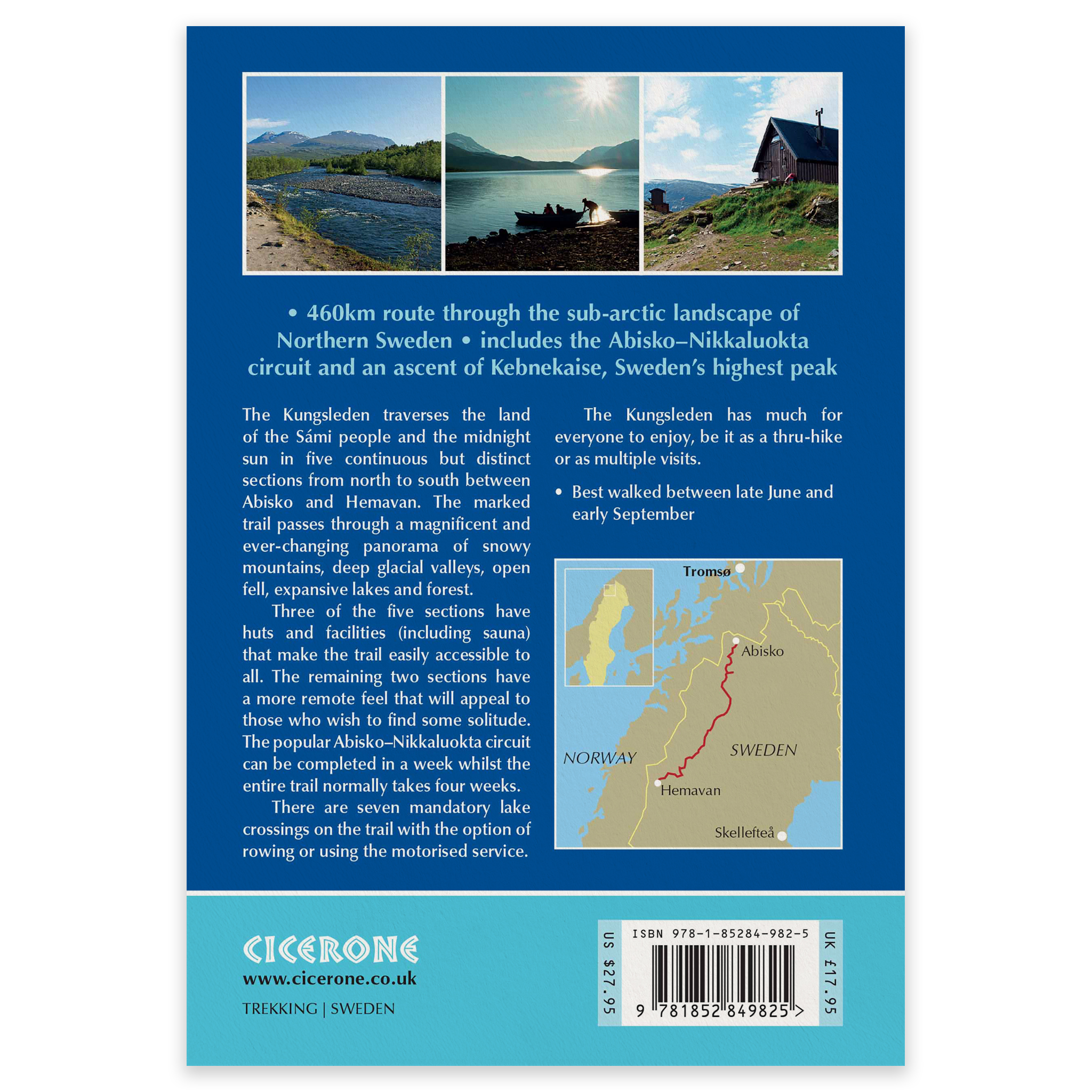
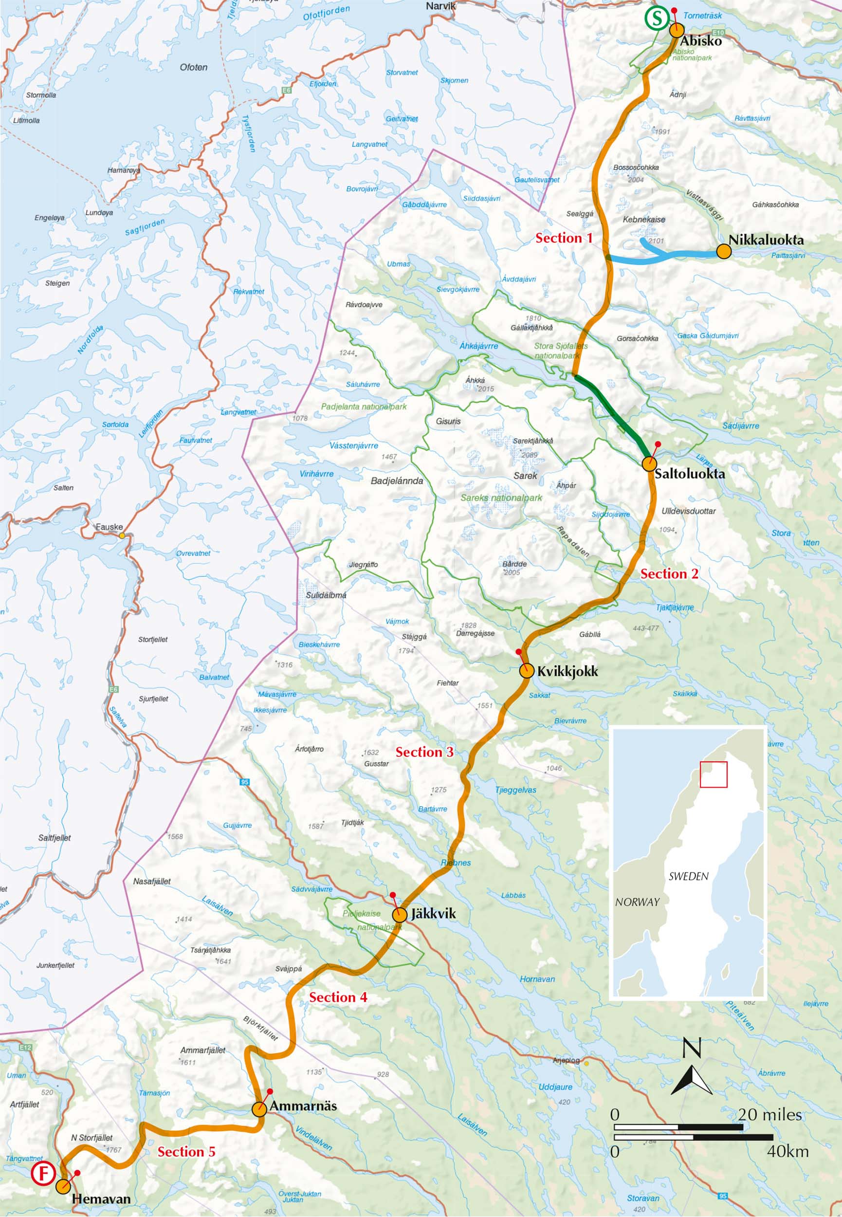
Trekking the Kungsleden is an English-language Cicerone guide to the Kungsleden – Sweden’s best-known long-distance hiking trail. The approximately 460km route runs from Abisko to Hemavan through the spectacular mountains and wilderness of Swedish Lapland, largely above the Arctic Circle.
The complete Kungsleden is described in 28 stages ranging from 7 to 22km. Walking the entire trail typically takes around four weeks, but the route can easily be divided into shorter treks. The popular section from Abisko to Nikkaluokta, for example, can be completed in about one week.
From Abisko to Hemavan
The Kungsleden crosses a varied subarctic landscape of open mountain plateaus, broad valleys, lakes, birch forests and Arctic tundra. Along the way, it passes through some of northern Sweden’s finest mountain regions and offers long stretches of peaceful, remote wilderness.
The trail is waymarked with signs and red-painted markings and is generally straightforward to follow. However, some sections cross remote mountain terrain where the weather can change quickly and distances between facilities may be considerable.
28 stages with options for shorter treks
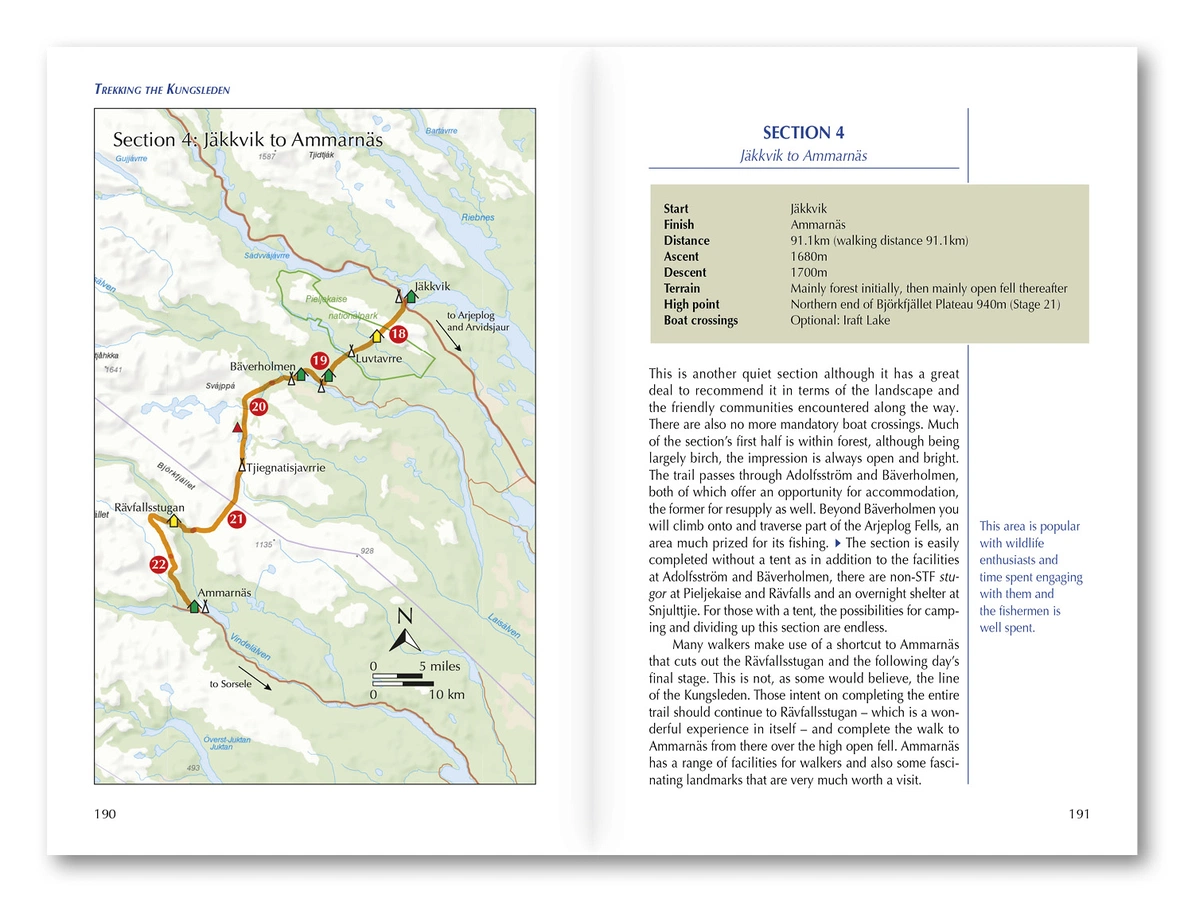
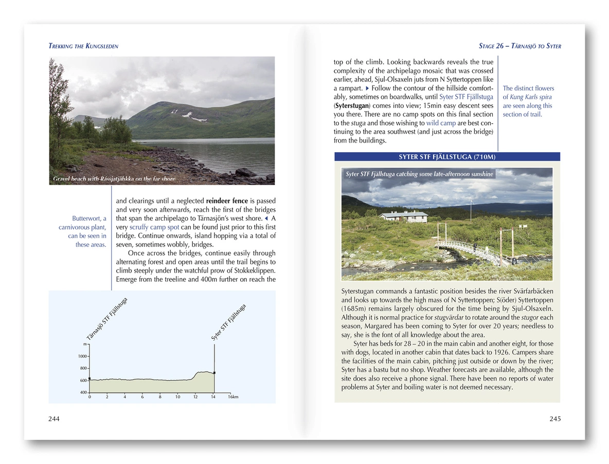
The guide describes the complete Kungsleden stage by stage, with clear route directions and 1:100,000 mapping. The stages can be combined in different ways, making the book suitable both for those planning a complete thru-hike and those looking for a shorter walking holiday.
The guide also includes an optional ascent of Kebnekaise, Sweden’s highest mountain. This can be added as an extra challenge while walking the northern section of the Kungsleden.
Mountain huts, camping and resupply
Much of the route is served by mountain huts and simple accommodation operated by the Swedish Tourist Association, STF. Many of the huts have small shops and basic facilities. The guide provides information about the huts, wild-camping opportunities and places to obtain food and other supplies along the route.
You will also find practical advice on transport to and from the trail, planning daily stages, equipment, safety and weather conditions in the subarctic landscape.
Maps and downloadable GPX files
The detailed route descriptions are supported by 1:100,000 maps. Downloadable GPX files for the complete trail can be used on GPS devices or smartphones as a supplement to the maps and guidebook.
Best time to walk the Kungsleden
The main hiking season on the Kungsleden is generally from late June to early September. During this period, the days are long, the mountain huts are normally open and most of the winter snow has melted. Conditions can still vary, and snow, low temperatures and sudden changes in weather are possible even during summer.
Product details
Full title: Trekking the Kungsleden: The King’s Trail through Northern Sweden
Route: Kungsleden from Abisko to Hemavan
Area: Swedish Lapland in northern Sweden
Total distance: Approximately 460km
Number of stages: 28
Stage length: 7–22km
Duration: Approximately 4 weeks for the complete trail
Route type: Waymarked long-distance hiking trail
Terrain: Mountain plateaus, valleys, lakes, birch forests and Arctic tundra
Mapping: 1:100,000
Accommodation: STF mountain huts, cabins and camping
Additional content: Optional ascent of Kebnekaise and downloadable GPX files
Publisher: Cicerone
Author: Mike Laing
Edition: First edition, 2025
Pages: 272
Language: English
ISBN: 9781852849825