
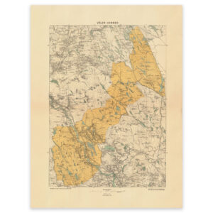


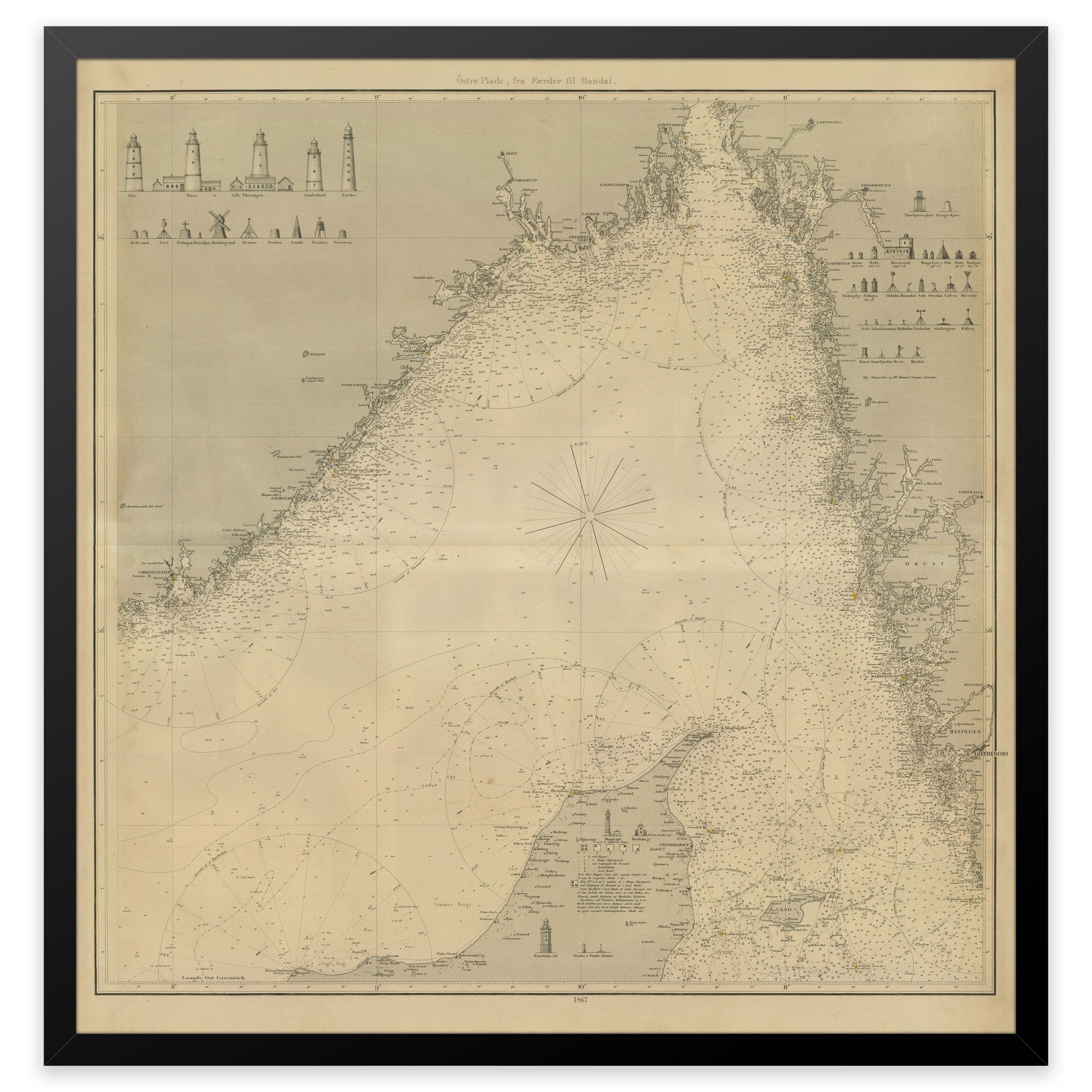
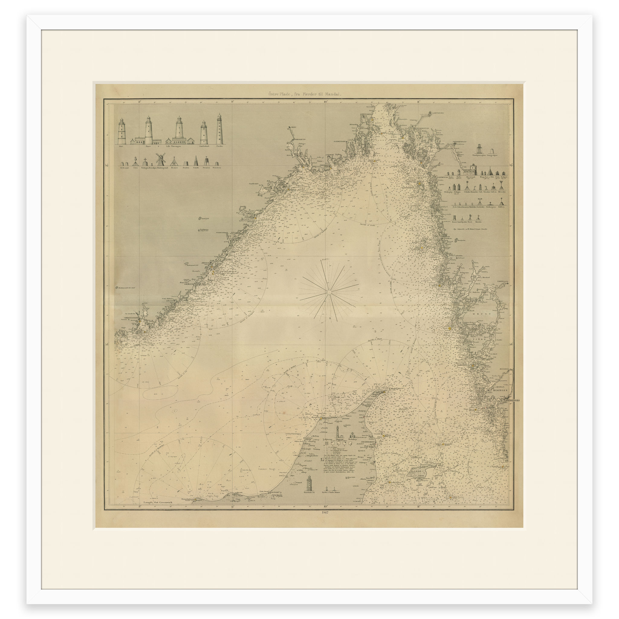
 Historical nautical chart of Skagerakk and surrounding areas.
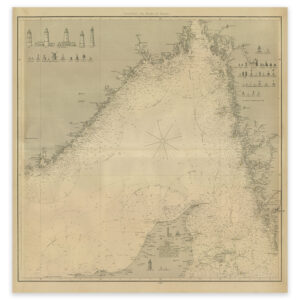
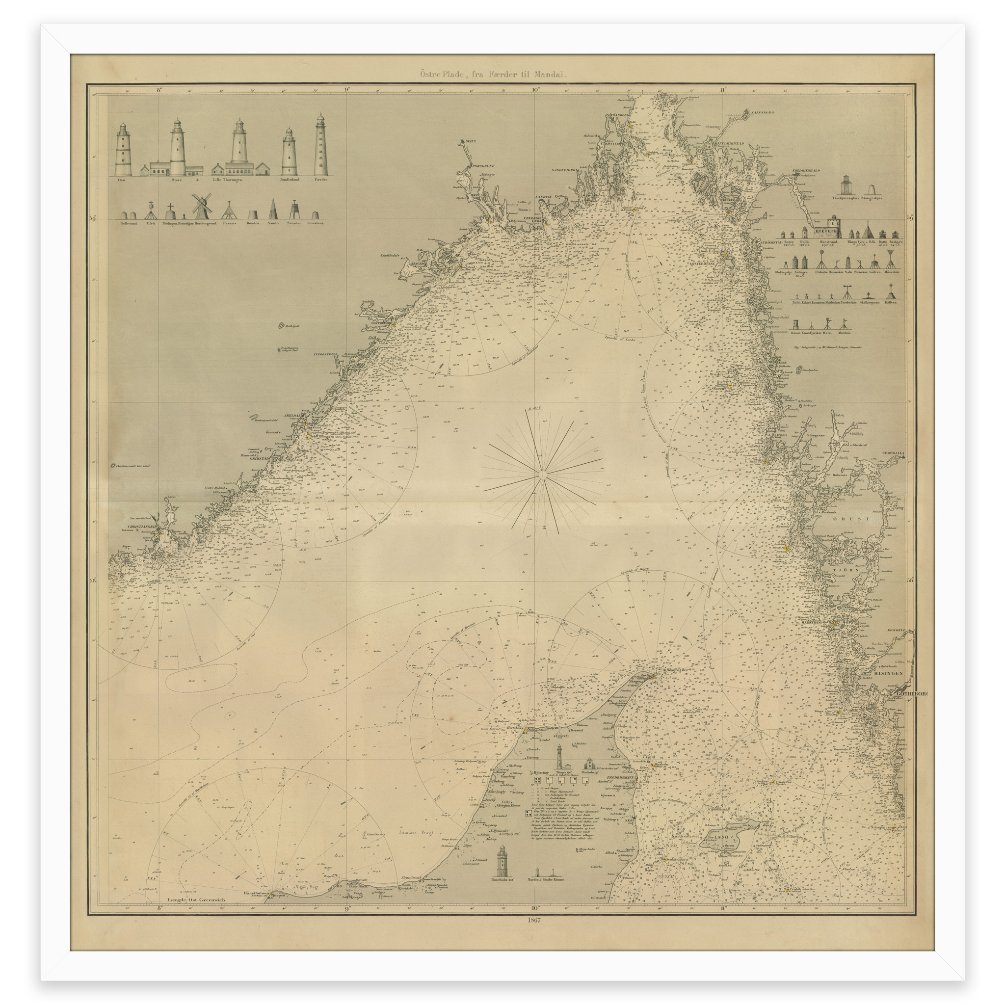
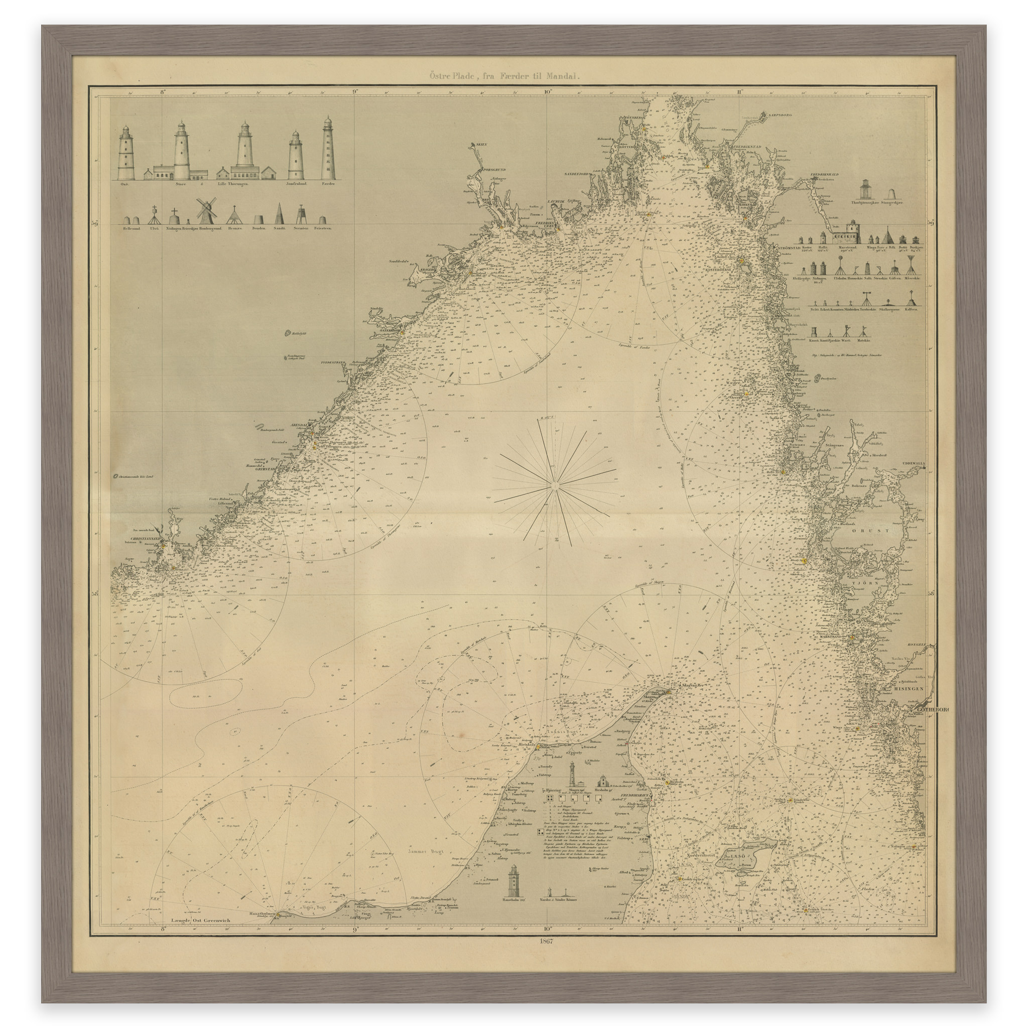
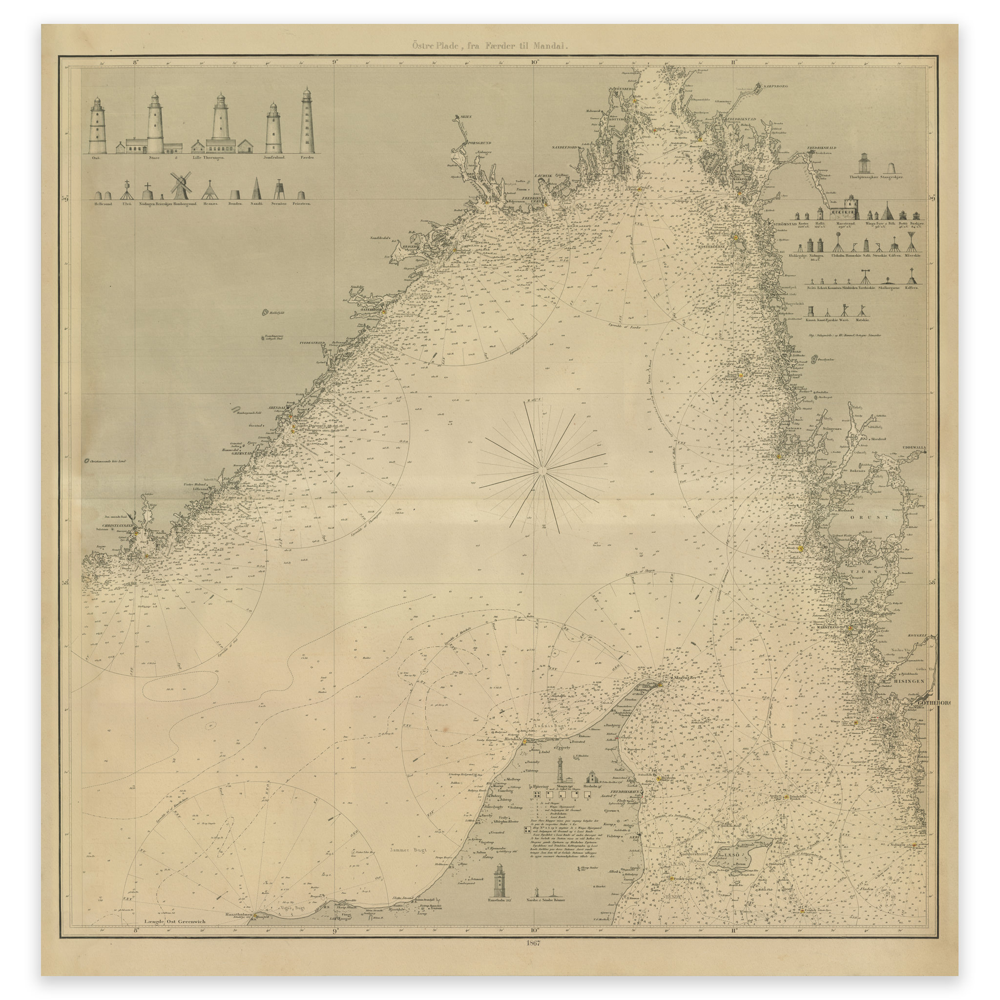
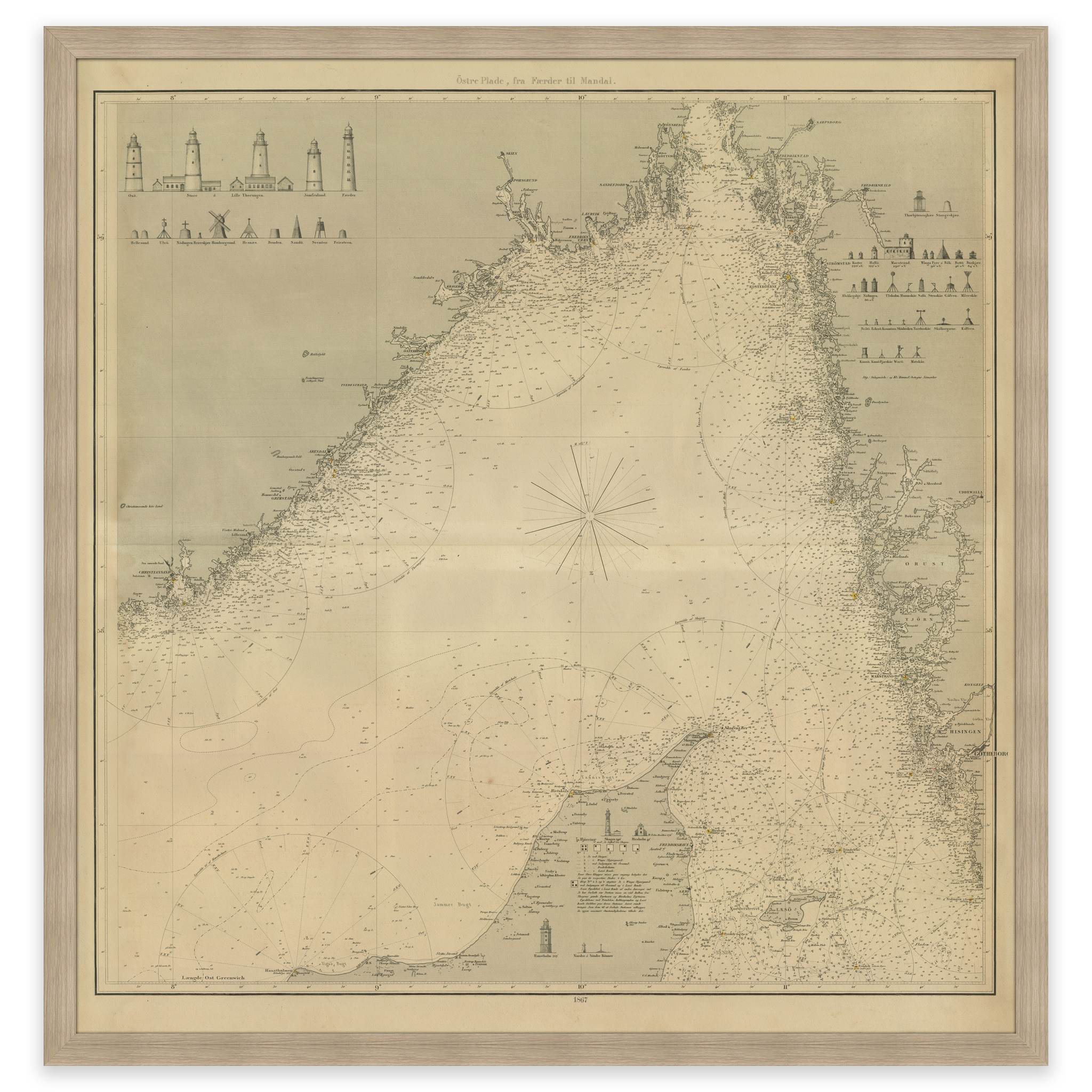
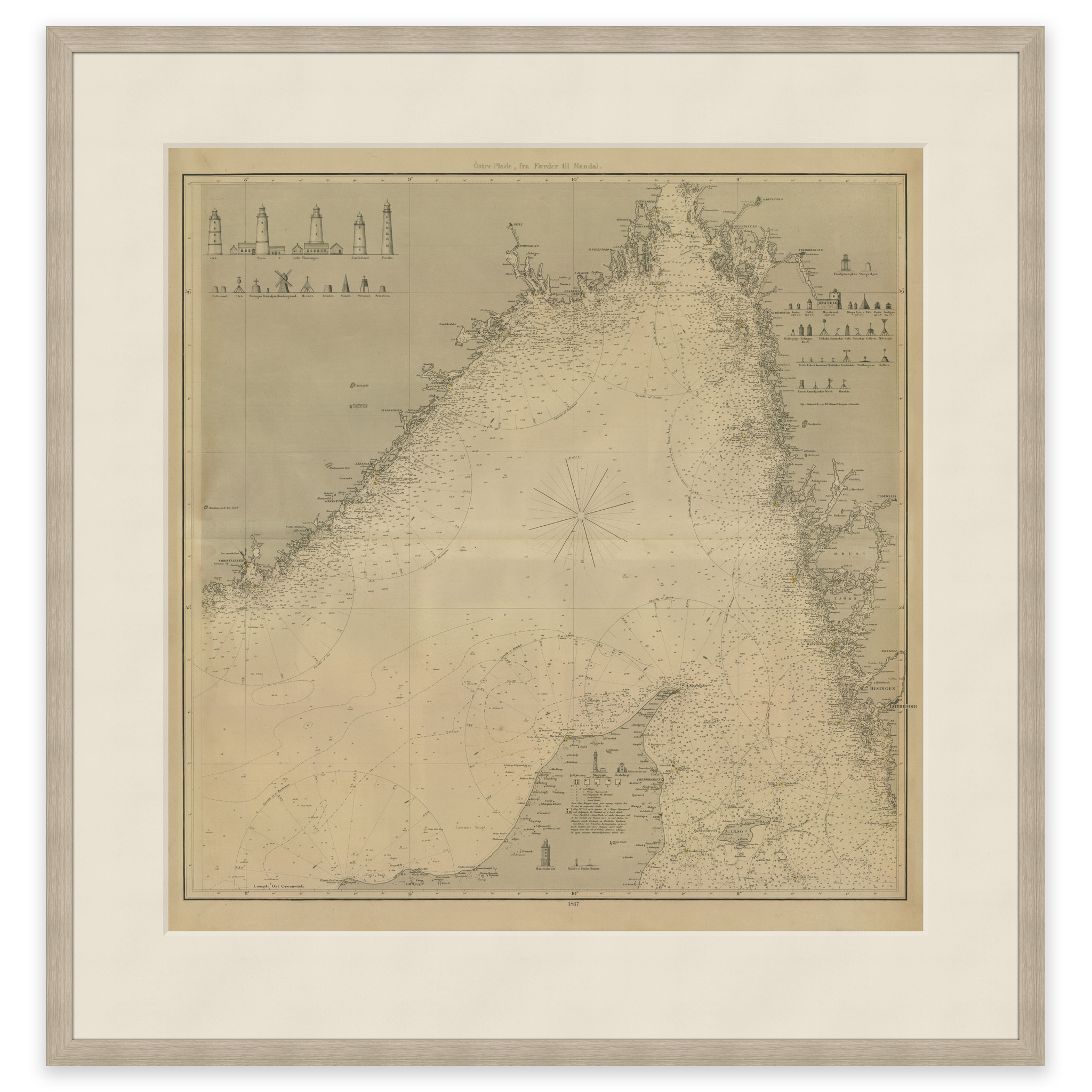
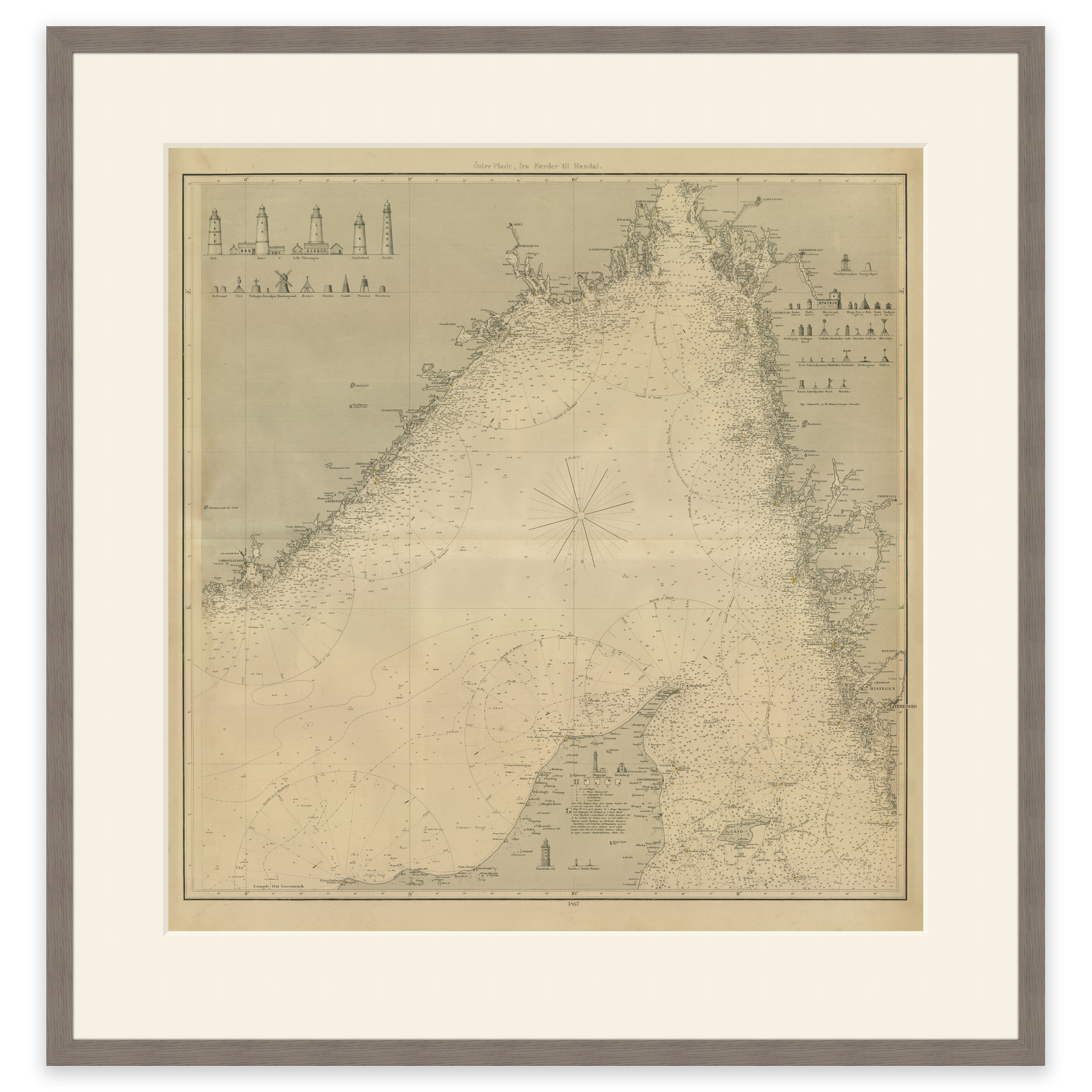
Historical nautical chart of Skagerakk and surrounding areas.
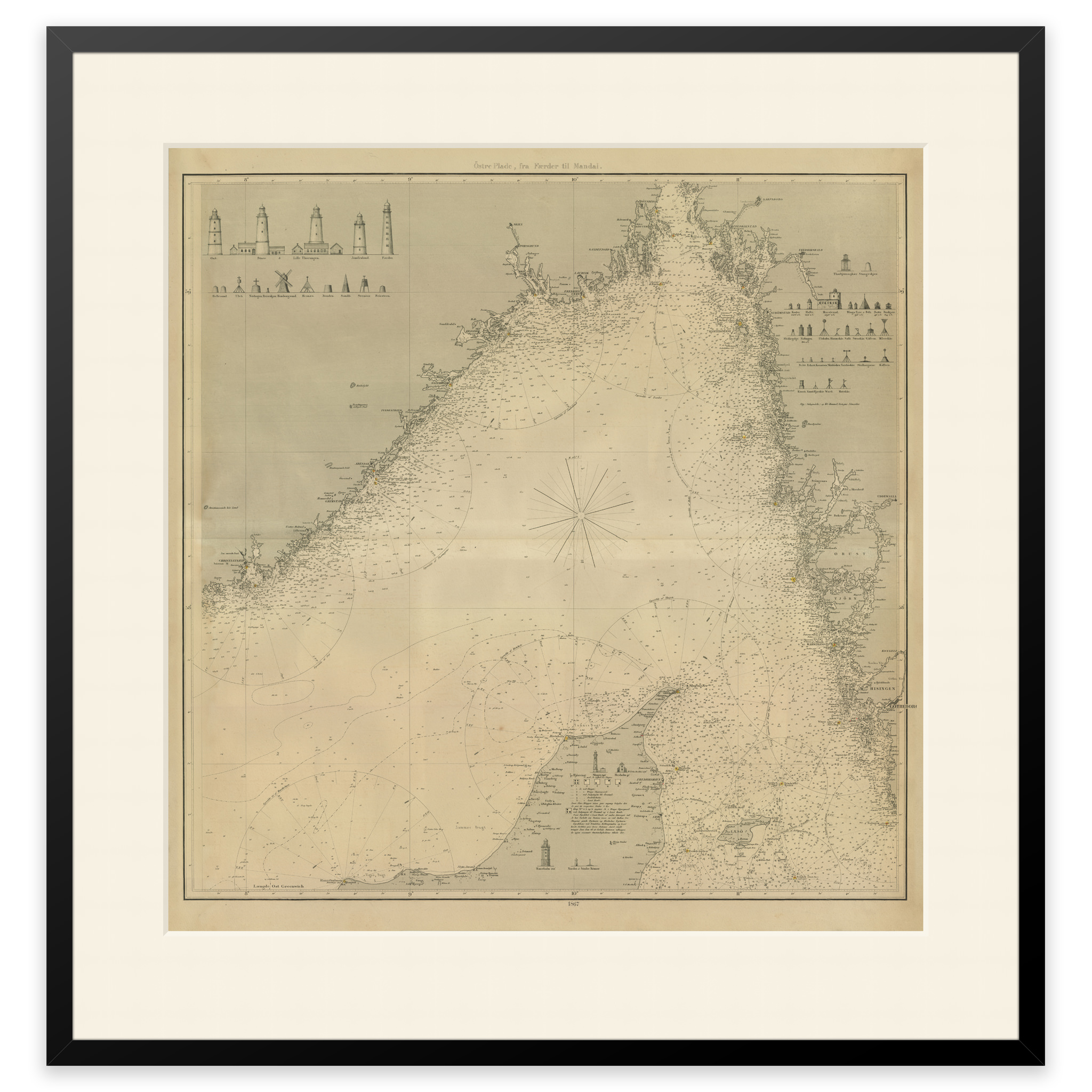
This map from 1867 shows Skagerakk and the surrounding areas. The map comes in its original size of 58.2 x 60.4 cm. The size with frame and passe-partout is 76.2 x 79.4 cm. Do you want the map in a different size? Just get in touch – we’ll be happy to give you a quote for customization.