
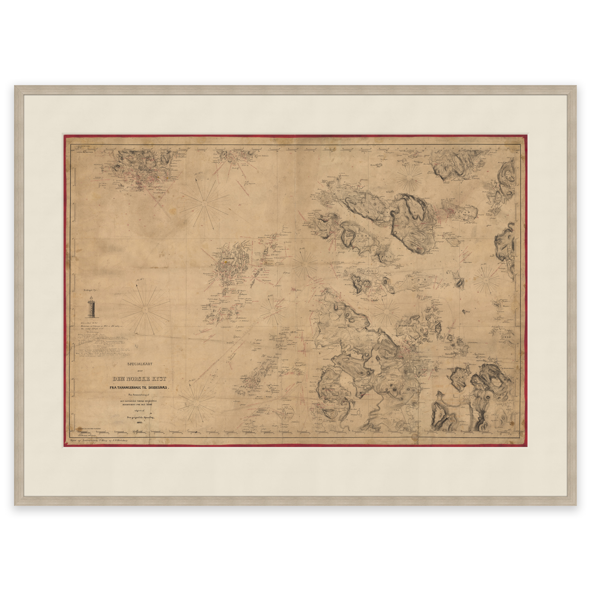
 Historical nautical chart of Tananger, Skudesnes, Stavanger and Finnøy
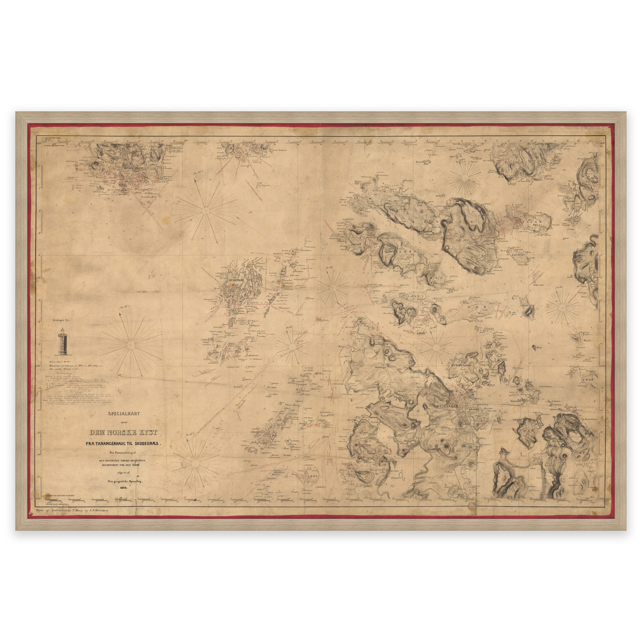
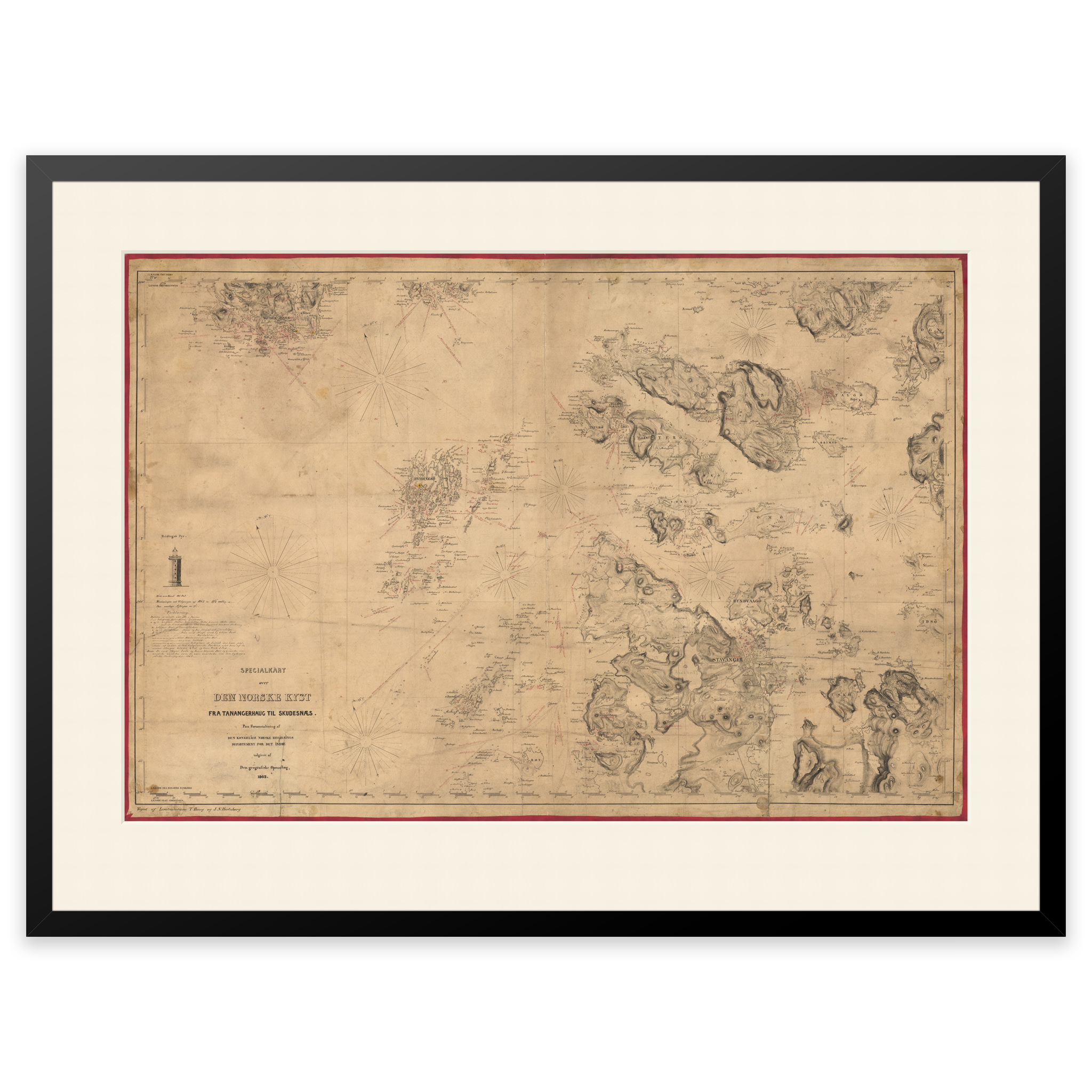
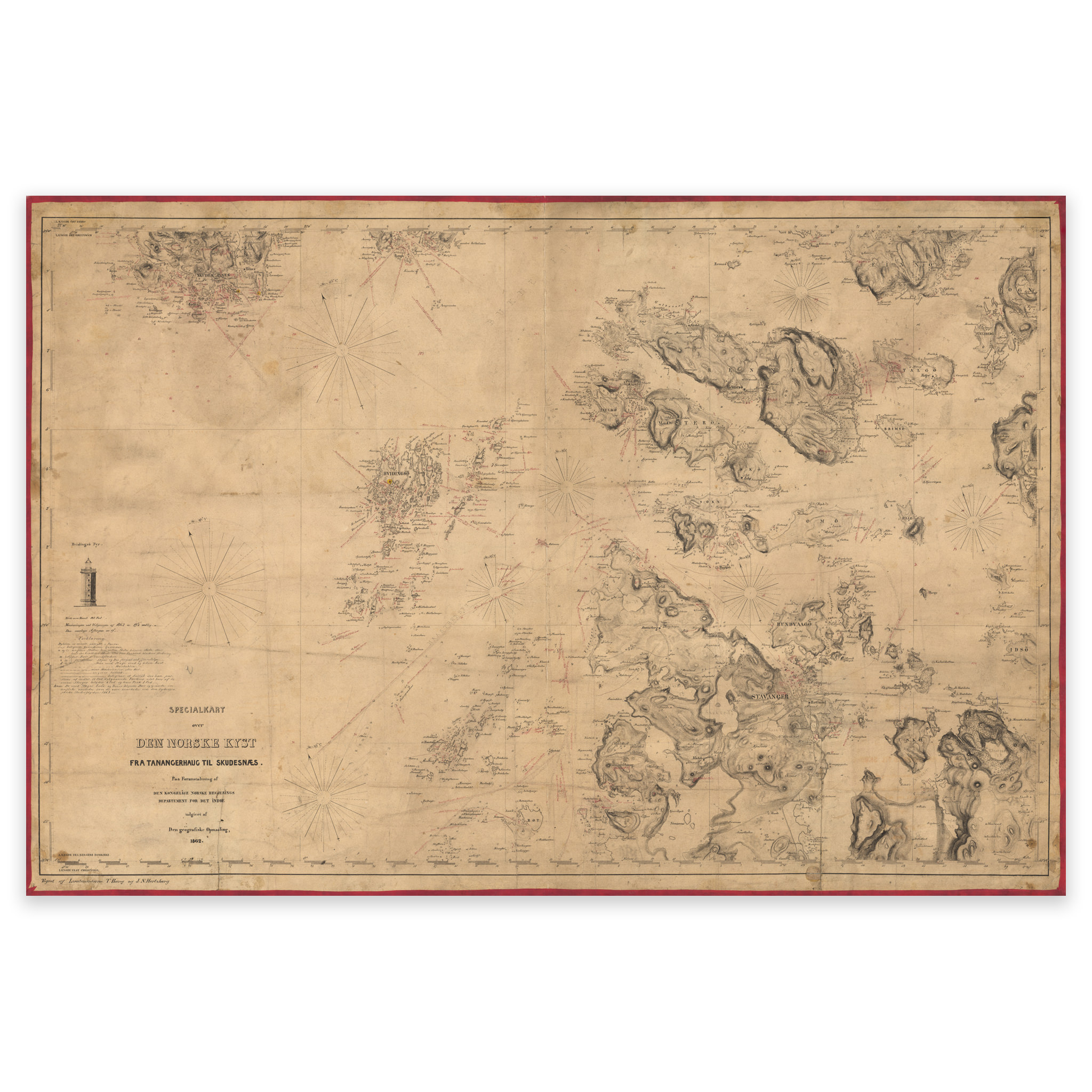
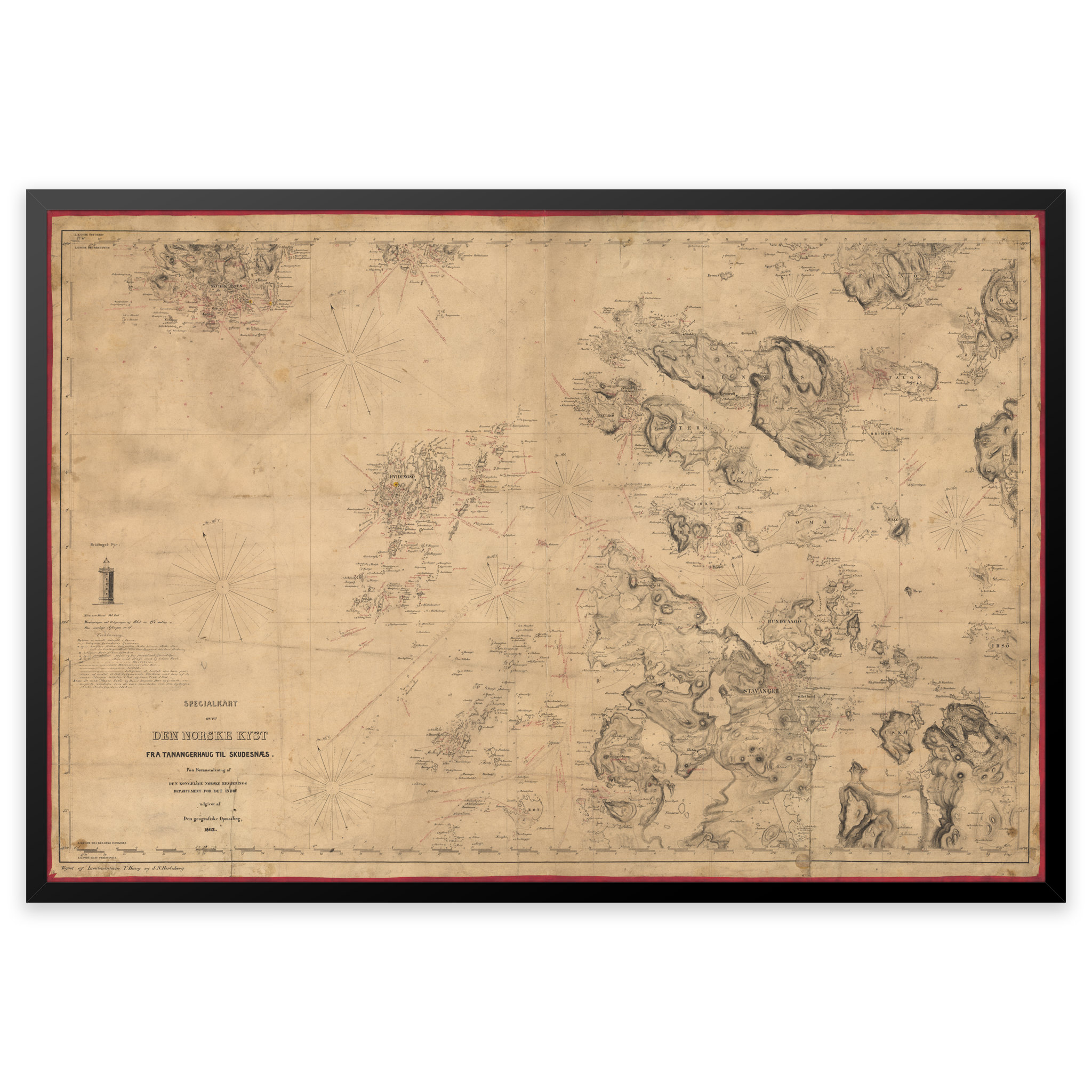

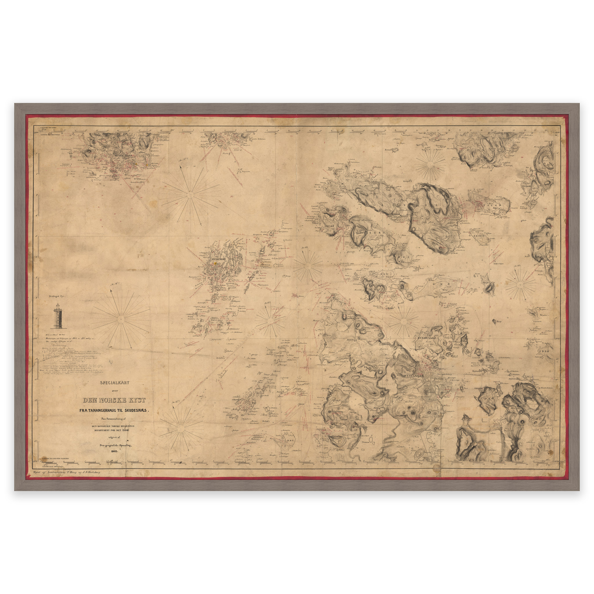
Historical nautical chart of Tananger, Skudesnes, Stavanger and Finnøy
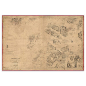
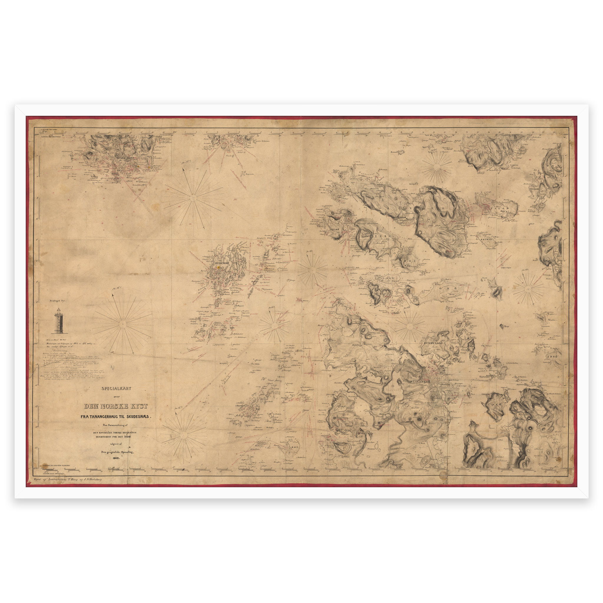
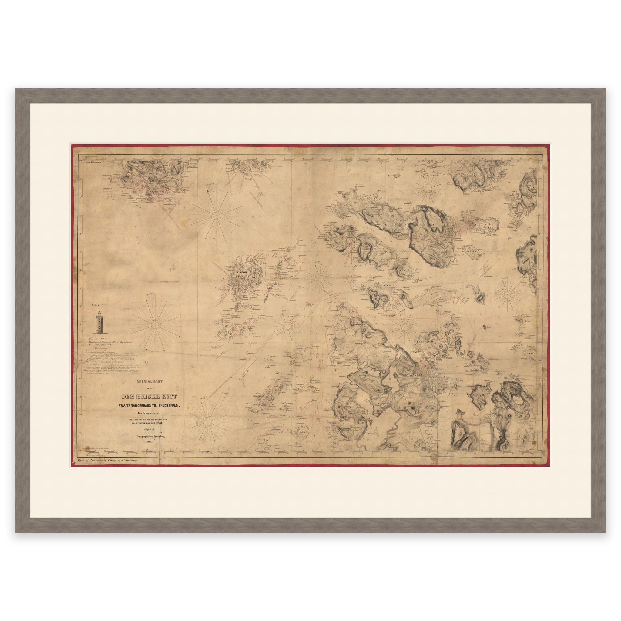
This historical nautical chart from 1862 covers the area of Tananger, Skudesnes, Stavanger and Finnøy. The map is delivered in its original size of 69.1 x 91.5 cm. Would you like the map in a different size? Just get in touch – we’ll be happy to give you a quote for customization.