
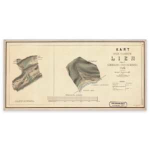
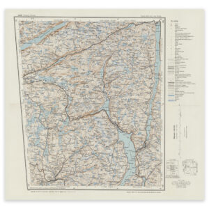

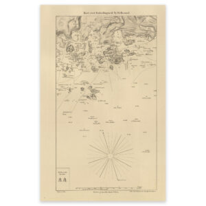
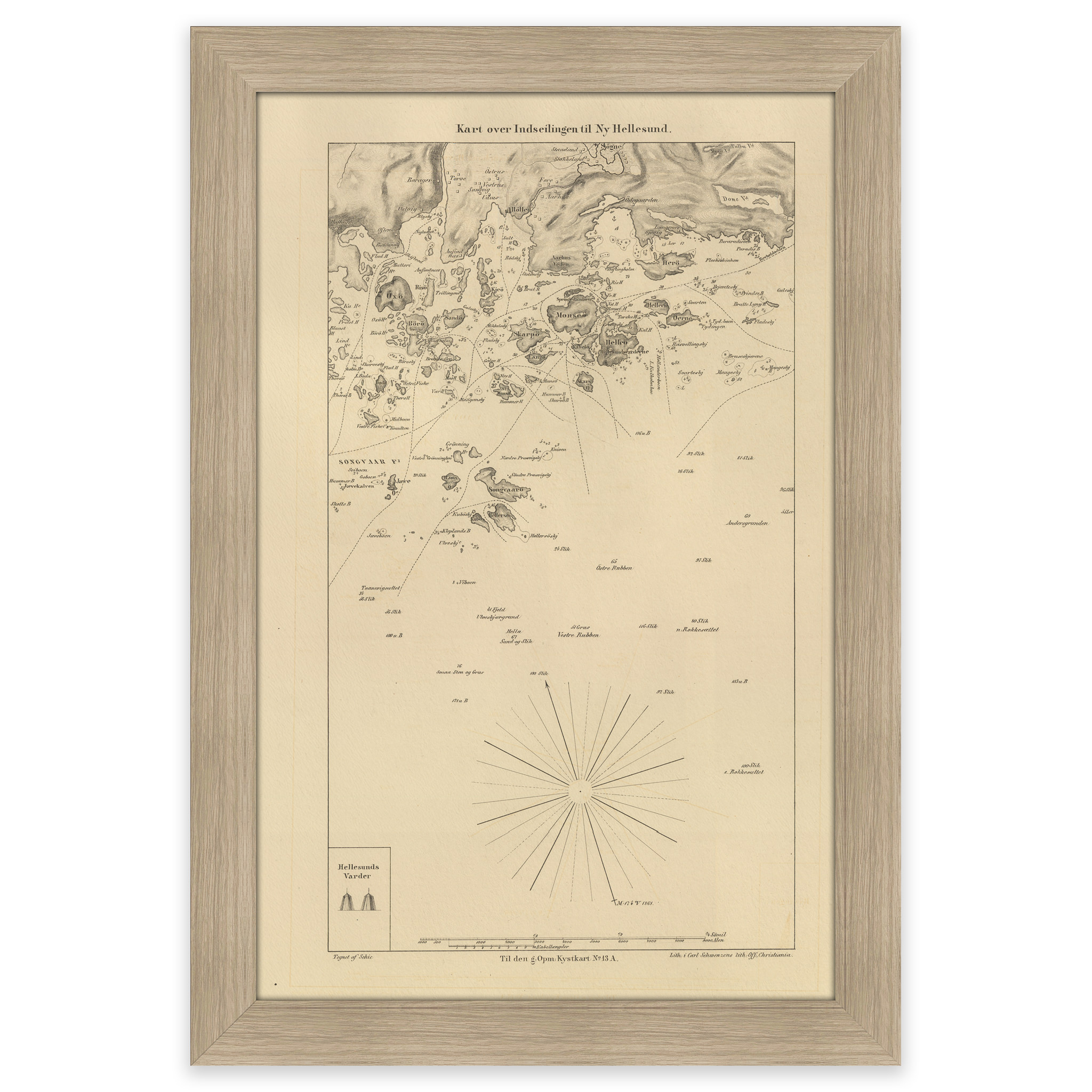
 Historical nautical chart of the entrance to Ny-Hellesund
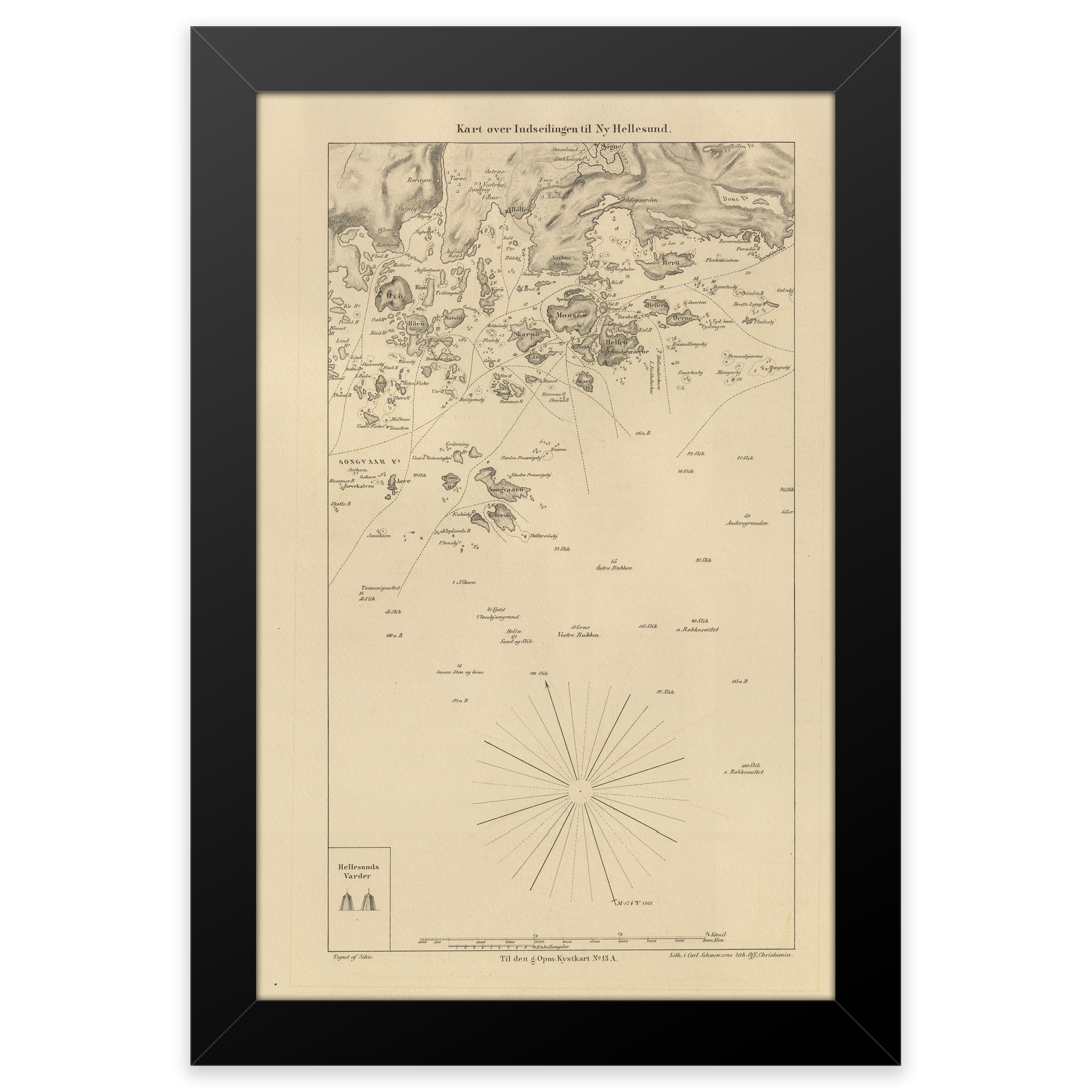
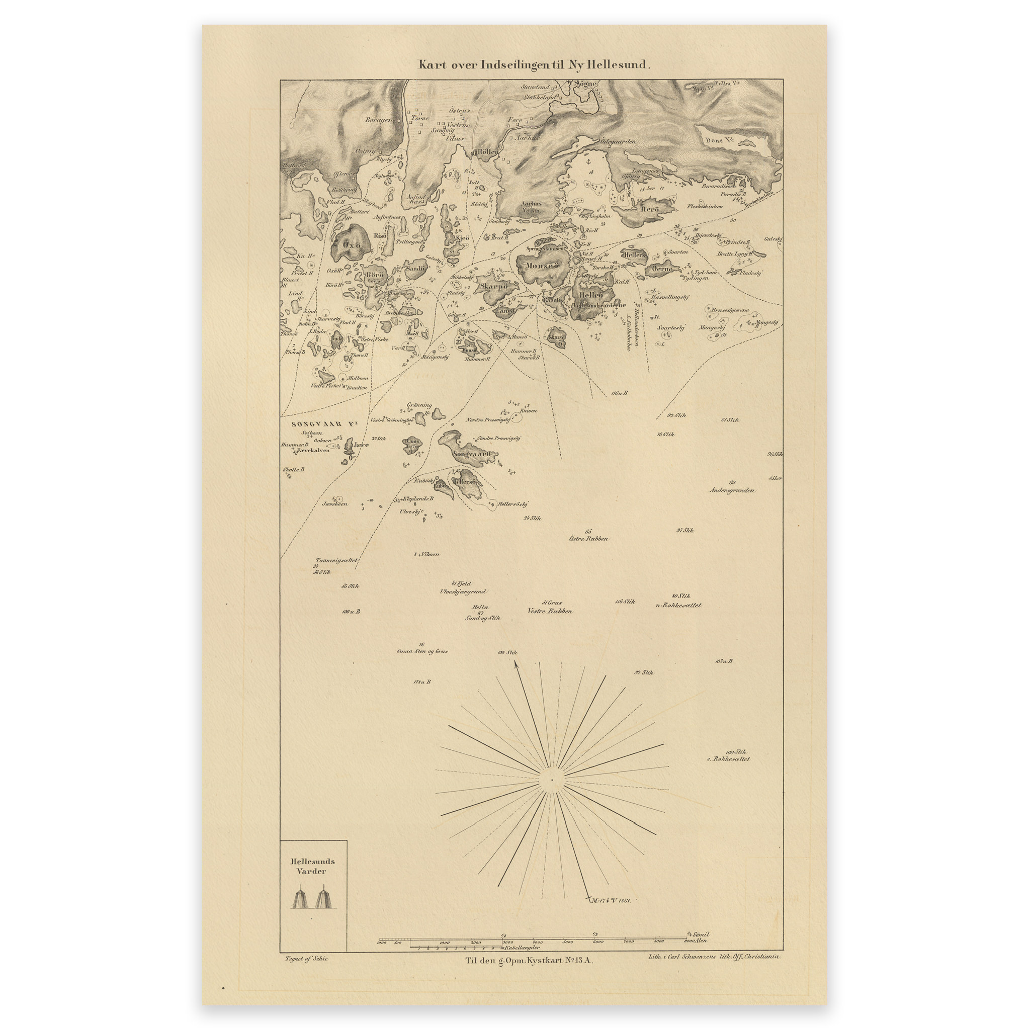
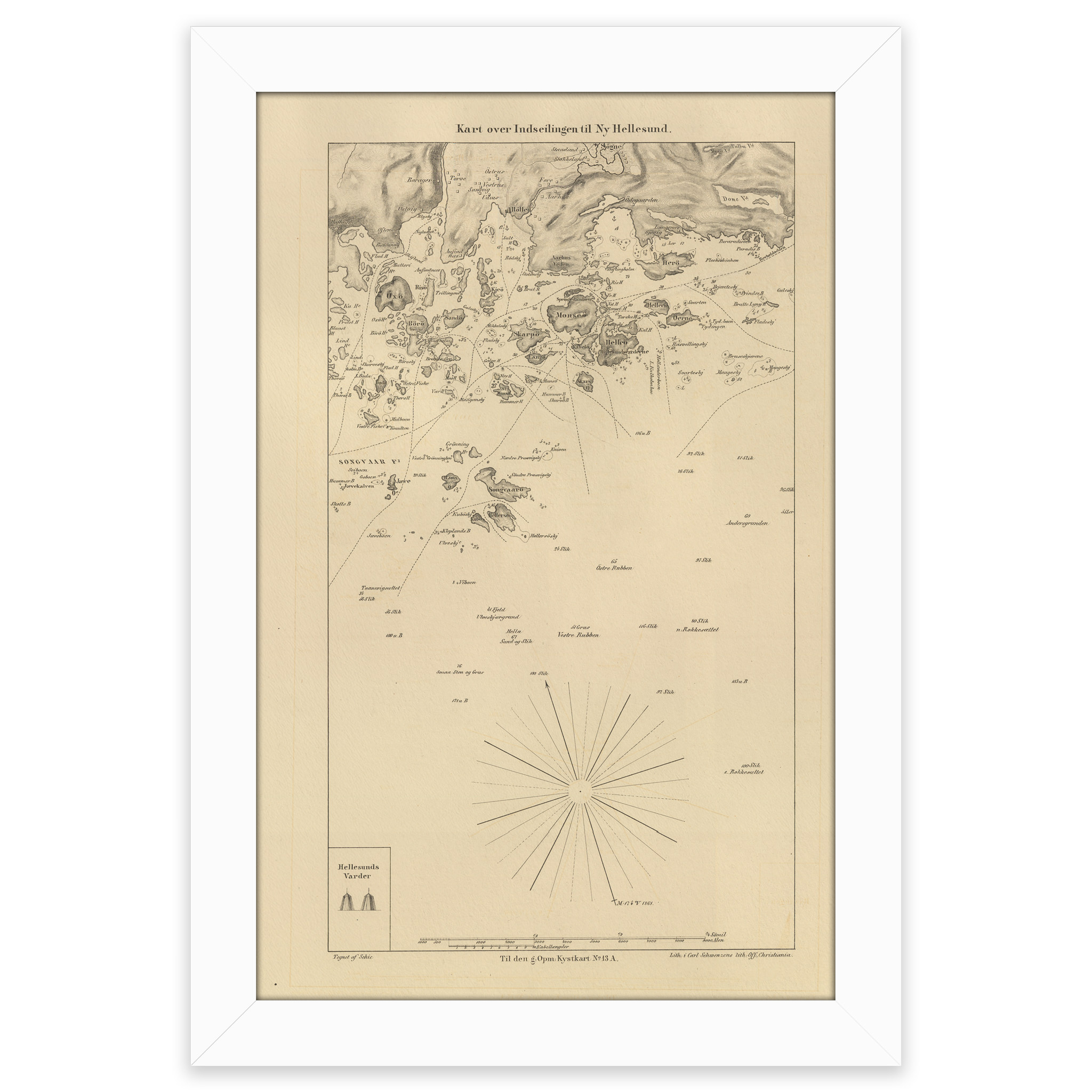


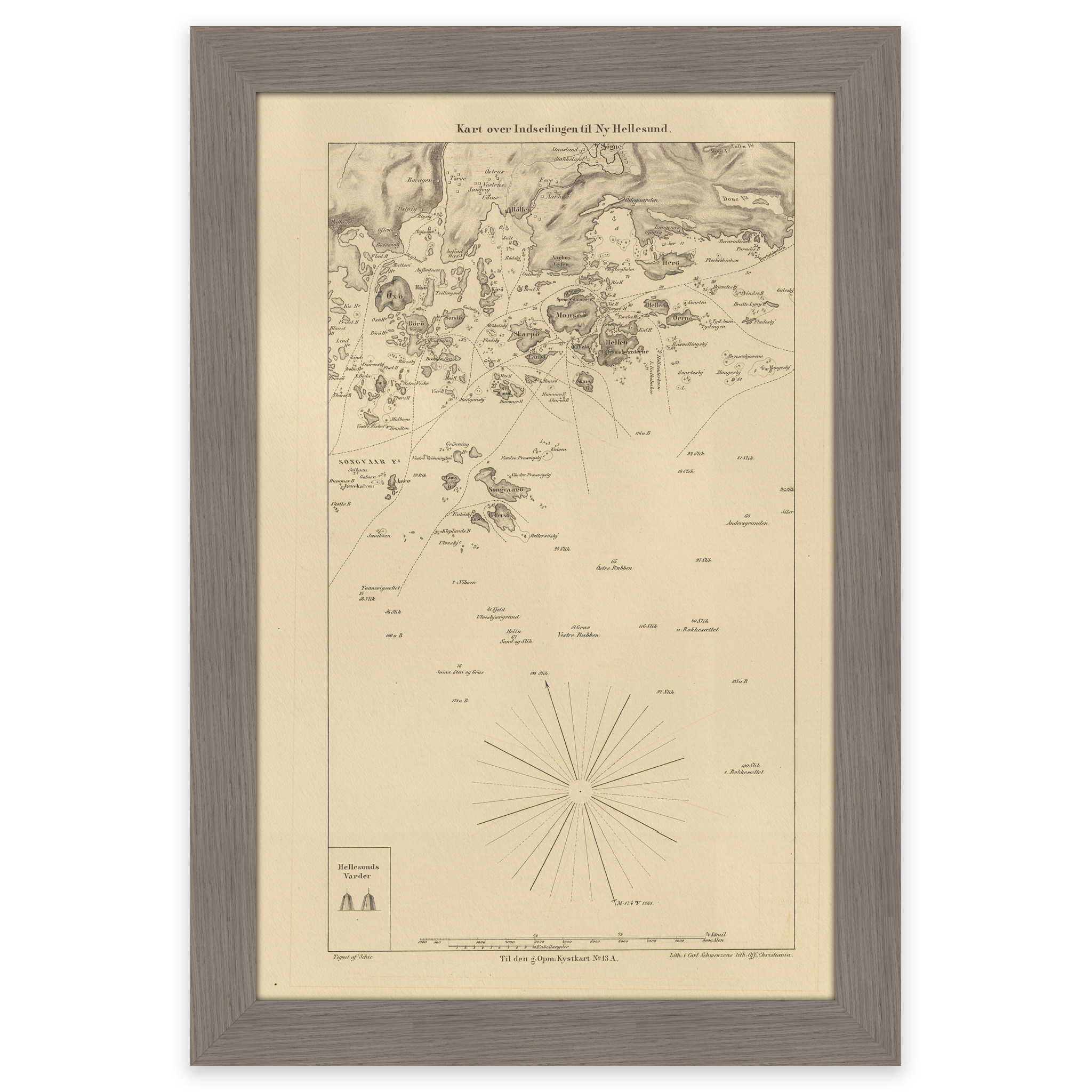
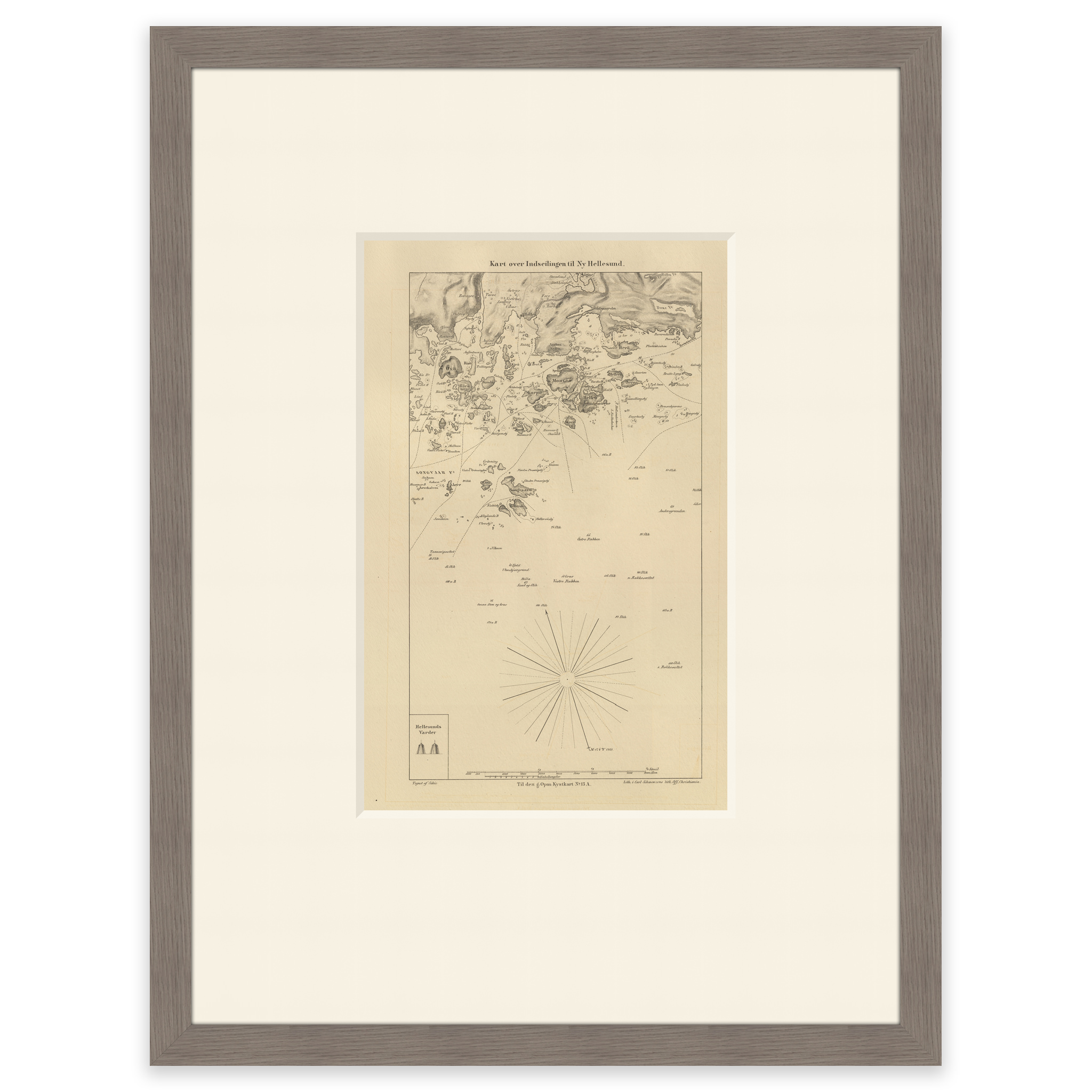
Historical nautical chart of the entrance to Ny-Hellesund
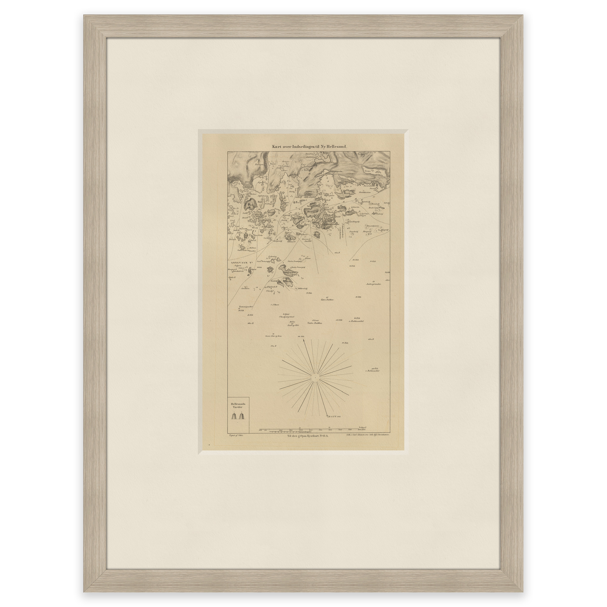
The map from 1866 shows the entrance to Ny-Hellesund. The map is delivered in its original size of 17.6 x 27.6 cm. The size with frame and passe-partout is 41.6 x 53.6 cm. Would you like the map in a different size? Just get in touch – we’ll be happy to give you a quote for customization.