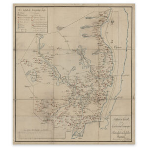


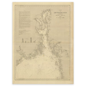
 Historical nautical chart of the outer Oslofjord to Jomfruland and Koster
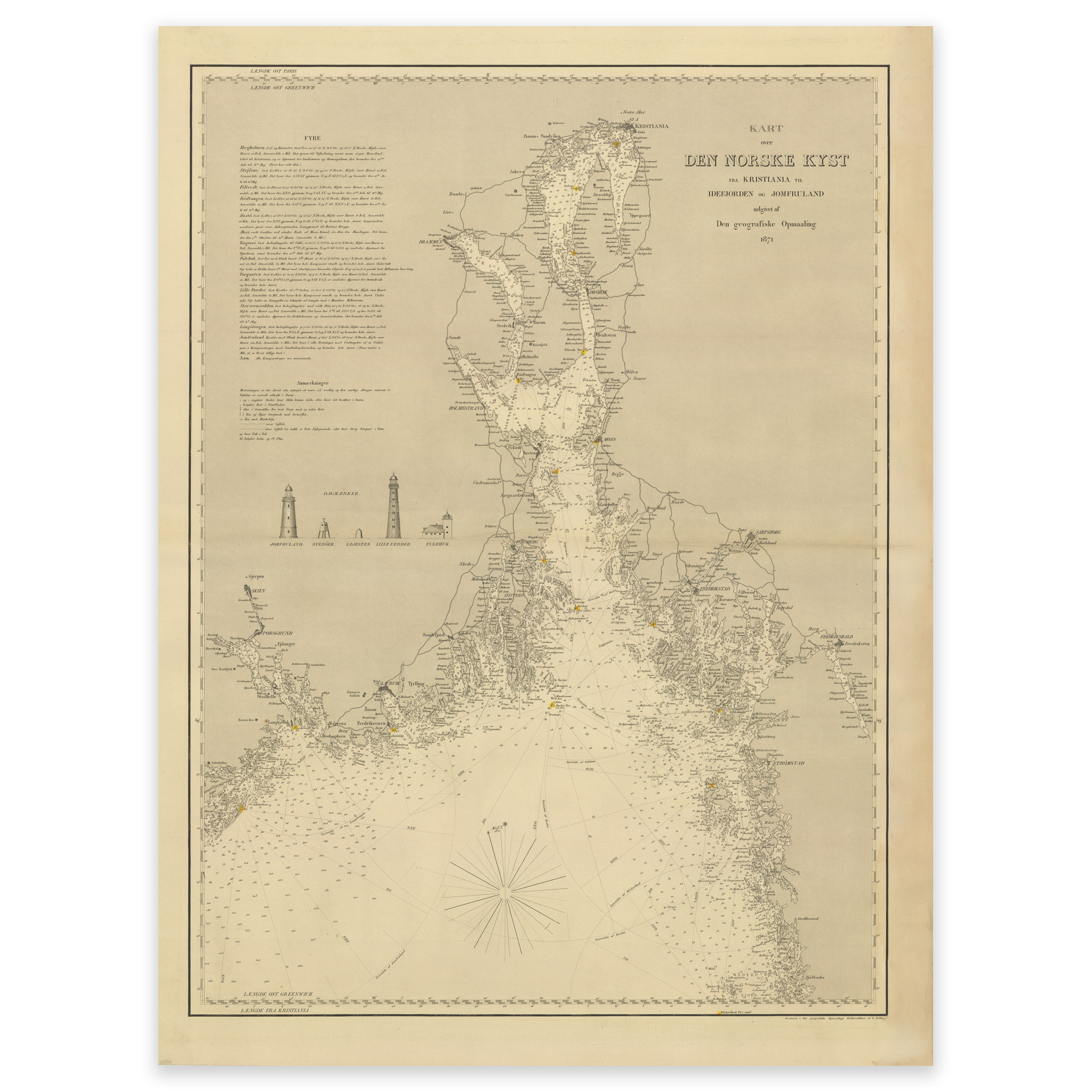


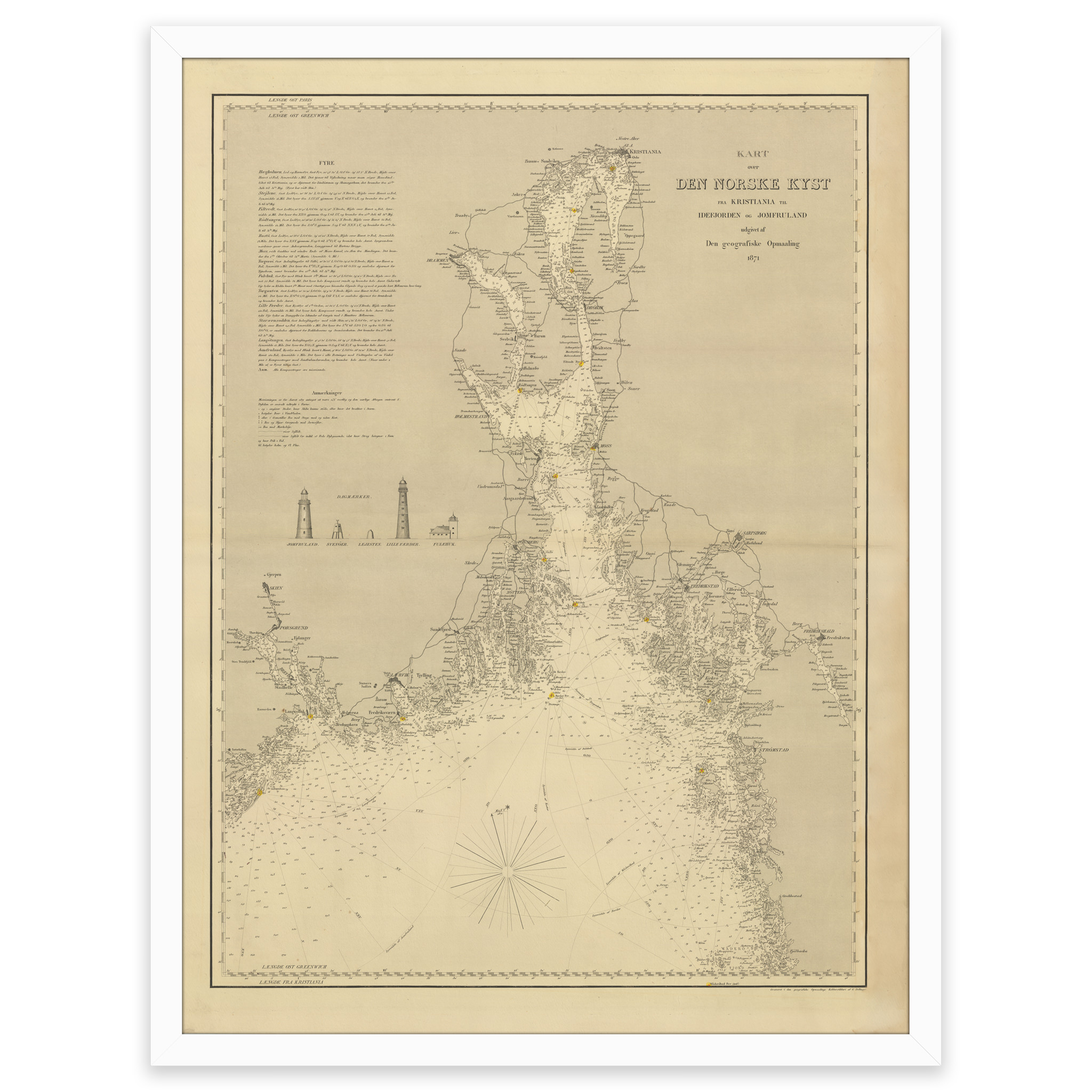
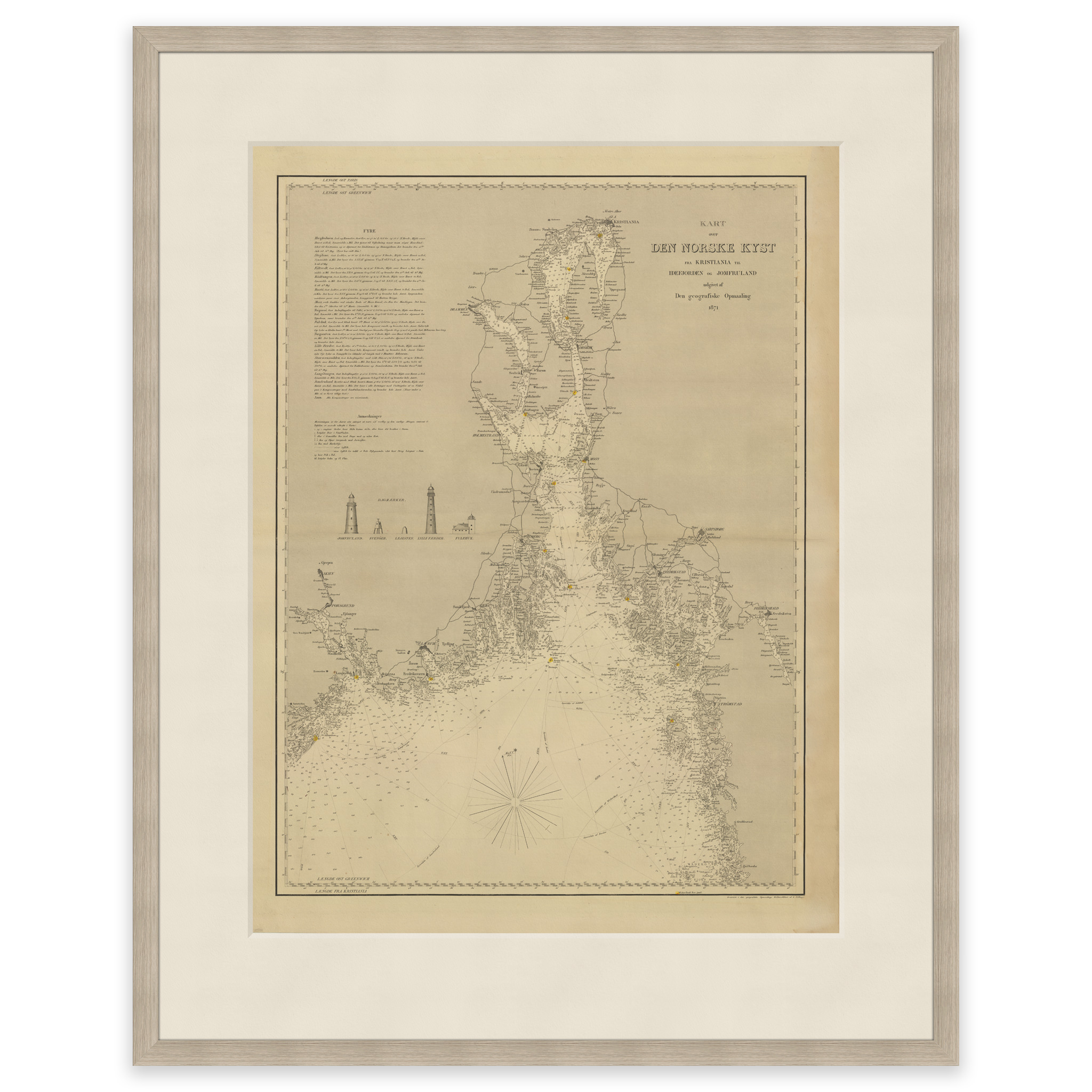
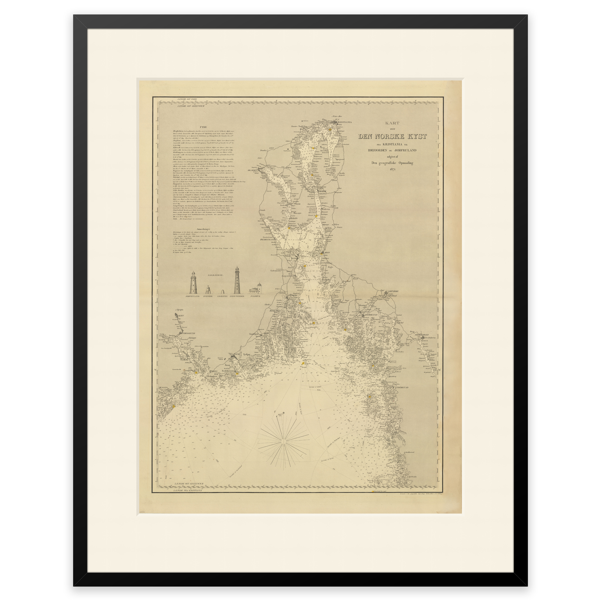
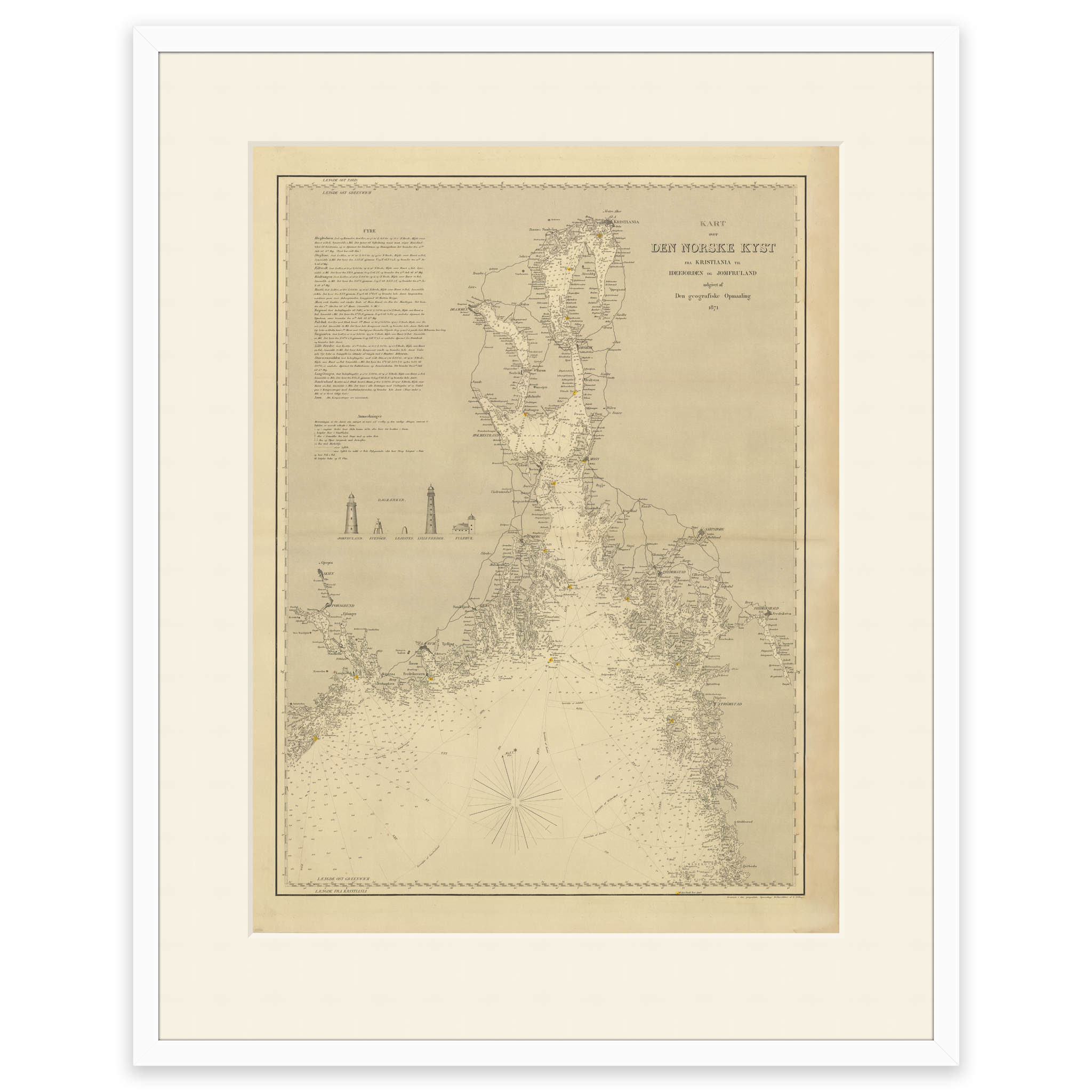

Historical nautical chart of the outer Oslofjord to Jomfruland and Koster
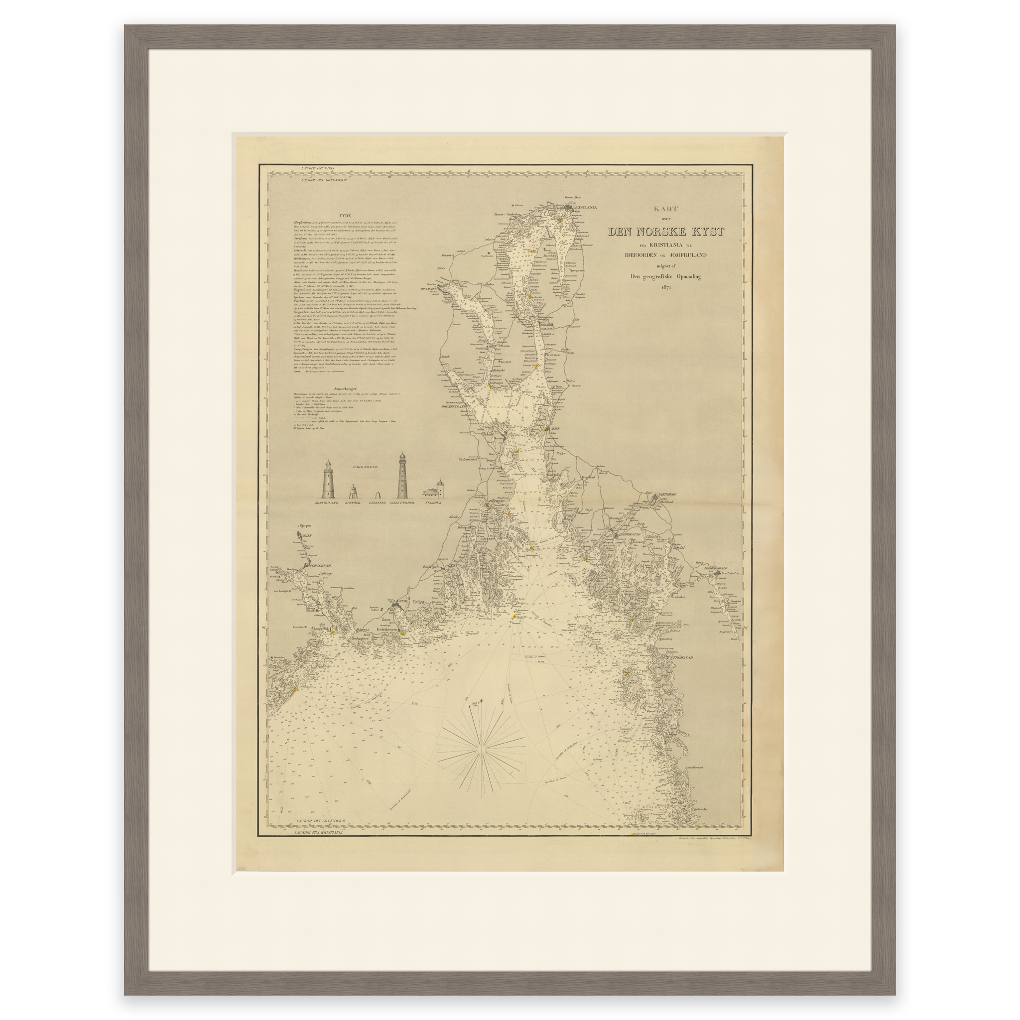
Nautical chart of the outer Oslofjord to Jomfruland and Koster from 1871. The map is delivered in its original size of 45.9 x 61.6 cm. The size with frame and passe-partout is 63.9 x 80.6 cm. Would you like the map in a different size? Just get in touch – we’ll be happy to give you a quote for customization.