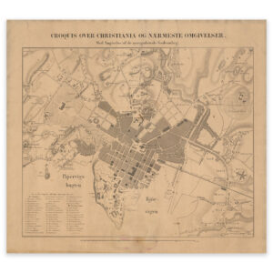


 Hvaler 1906
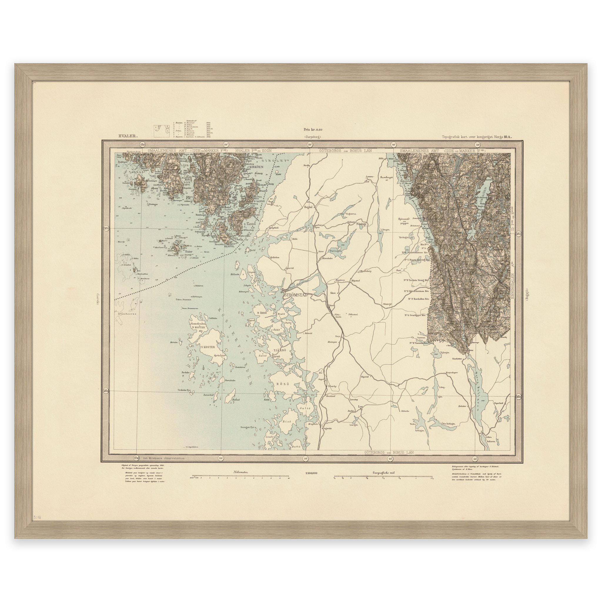
Hvaler 1906
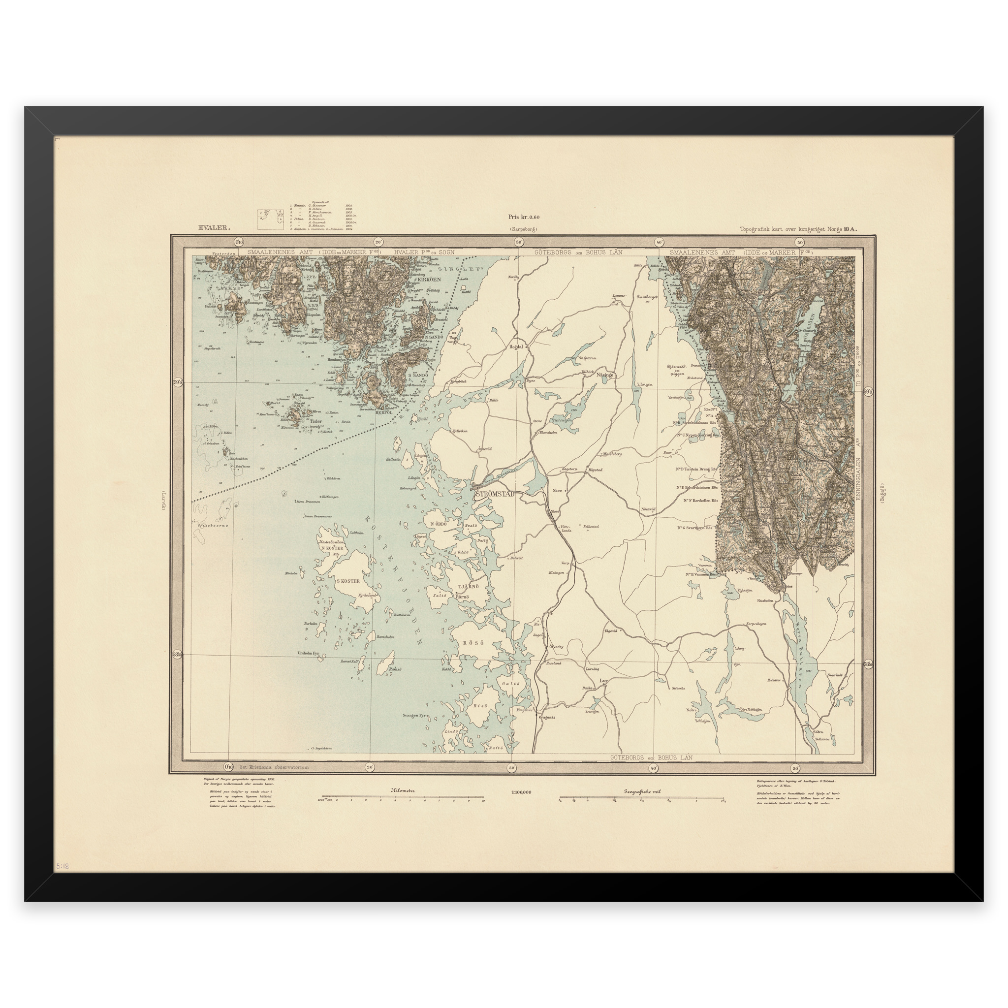
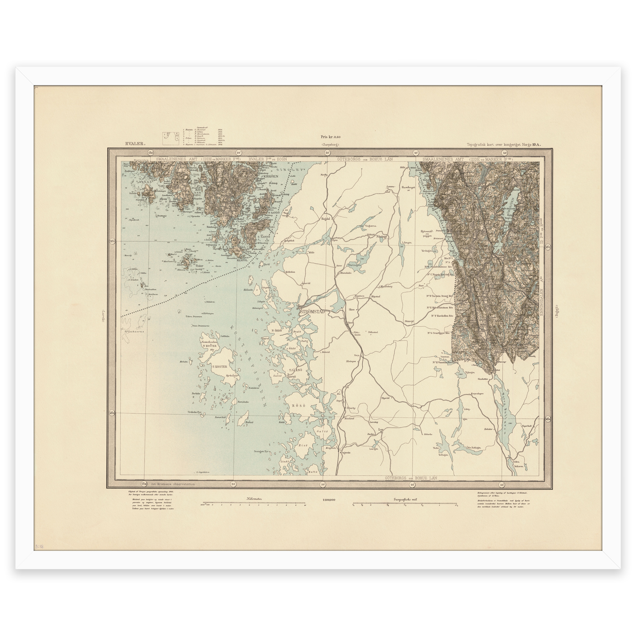
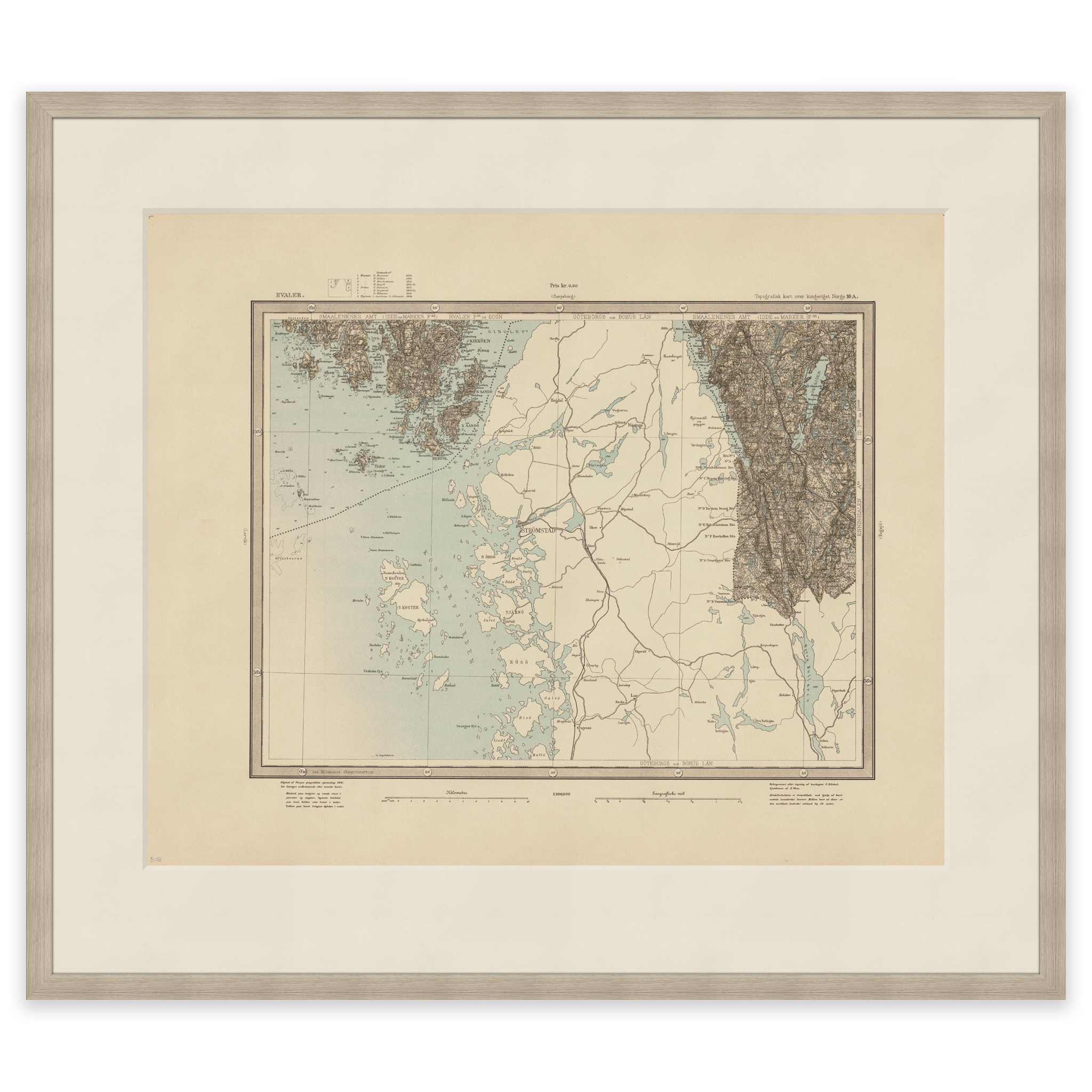
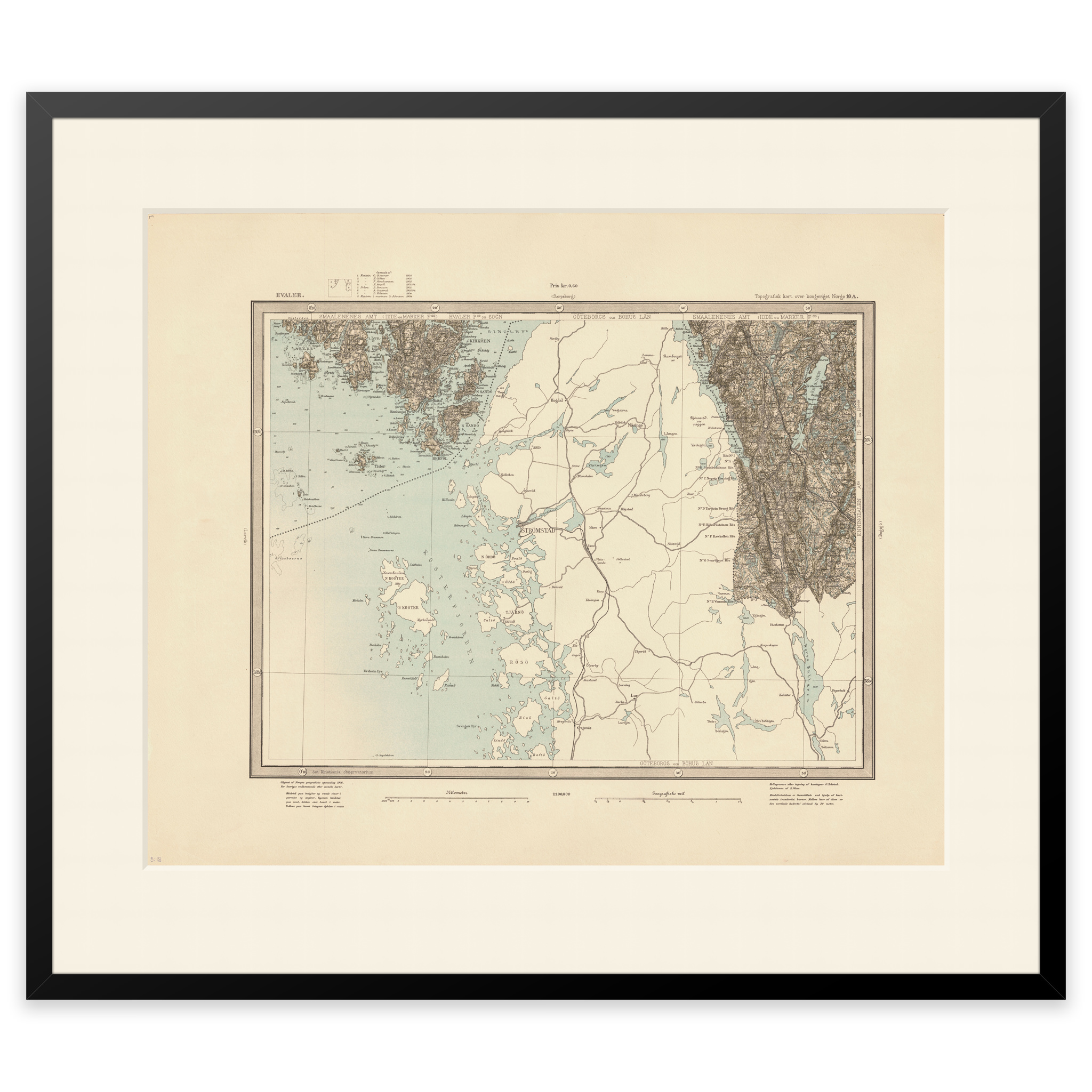
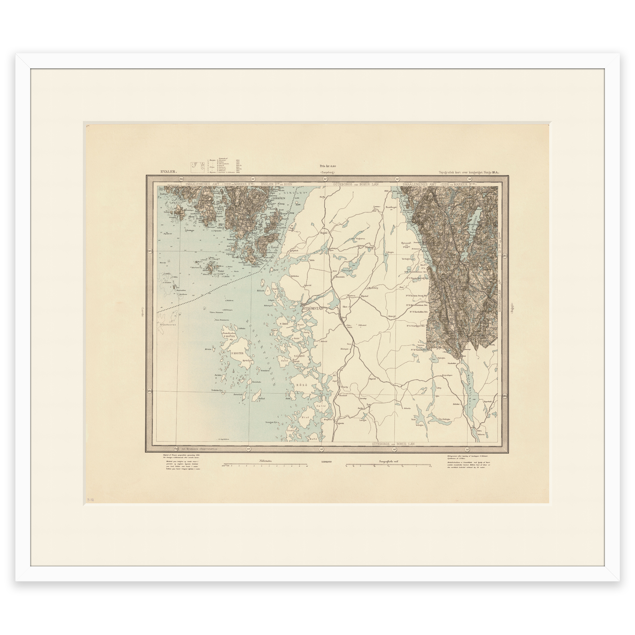
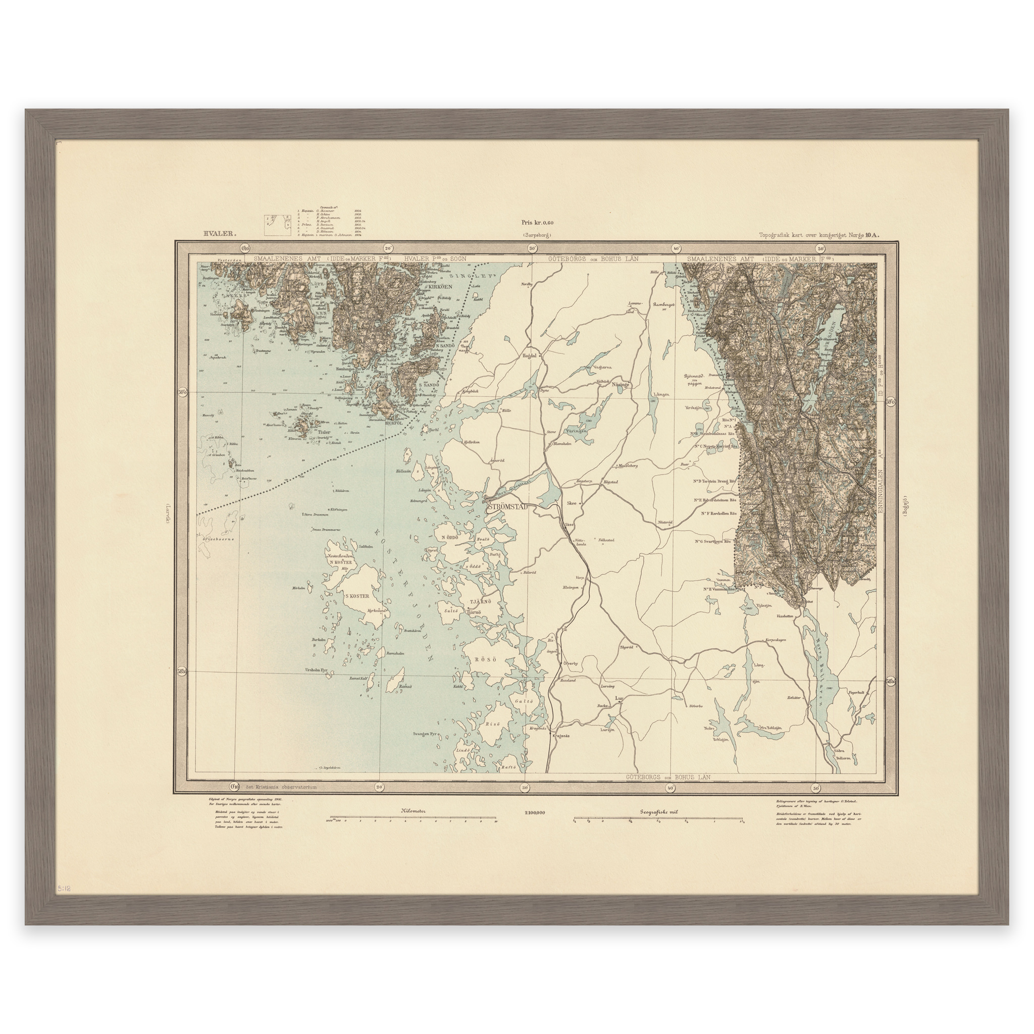
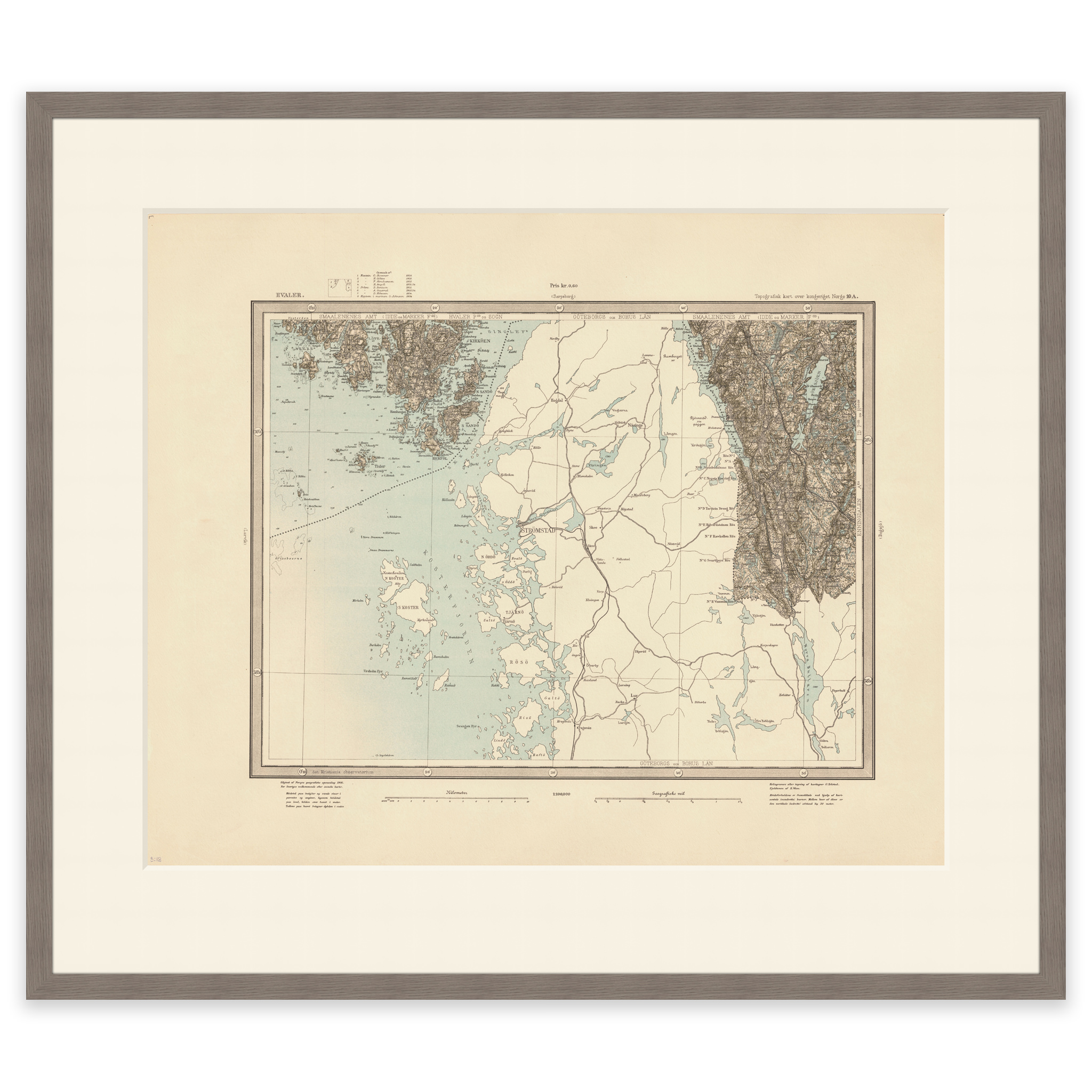
Map of Hvaler and Halden in Østfold from 1906. Ole Tolstad and Einar Sigurd Ween made this map in 1906 using the heliogravure technique. The map comes in its original size of 61.6 x 50.5 cm. The size with frame and passe-partout is 79.6 x 69.5 cm. Would you like the map in a different size? Just get in touch – we’ll be happy to give you a quote for customization.