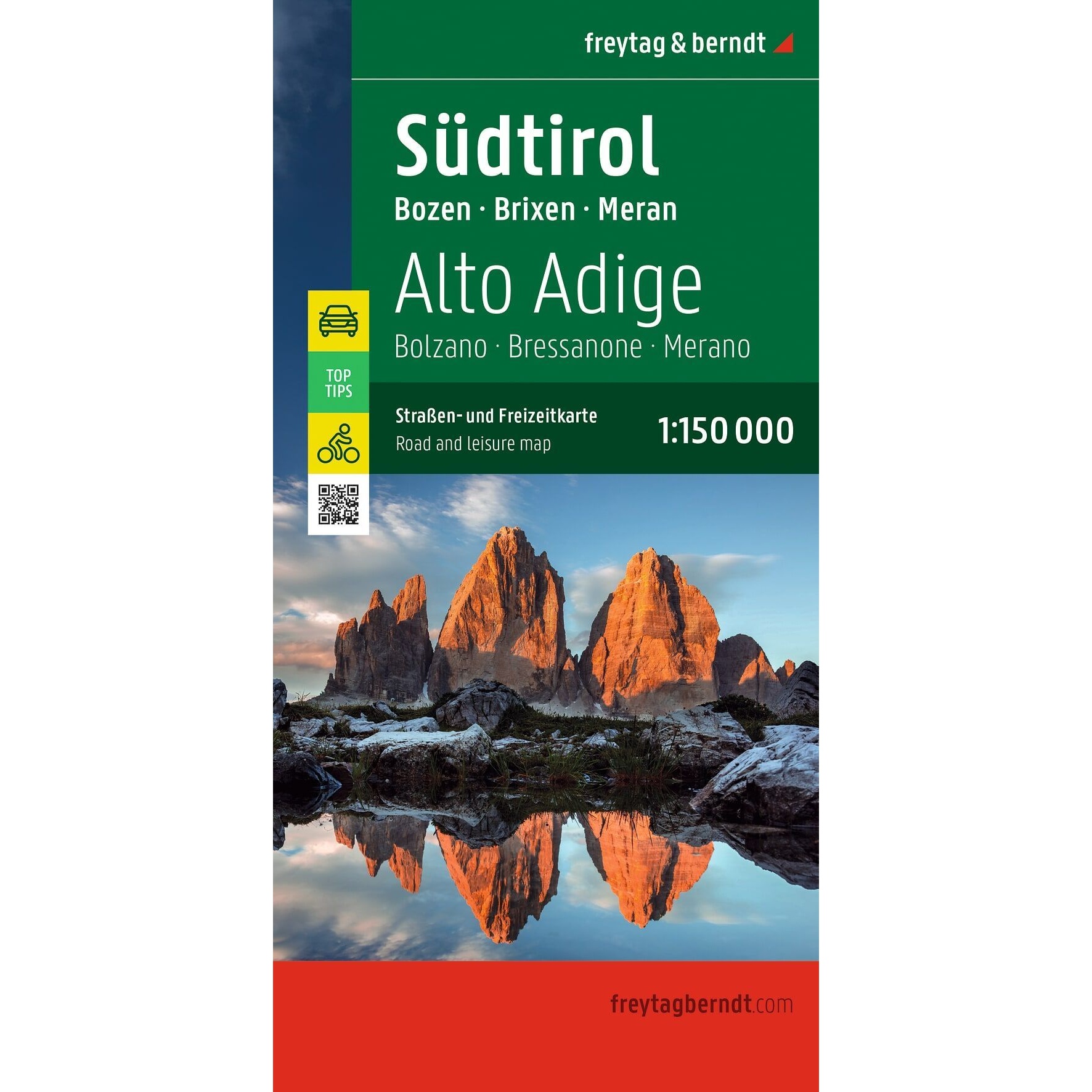
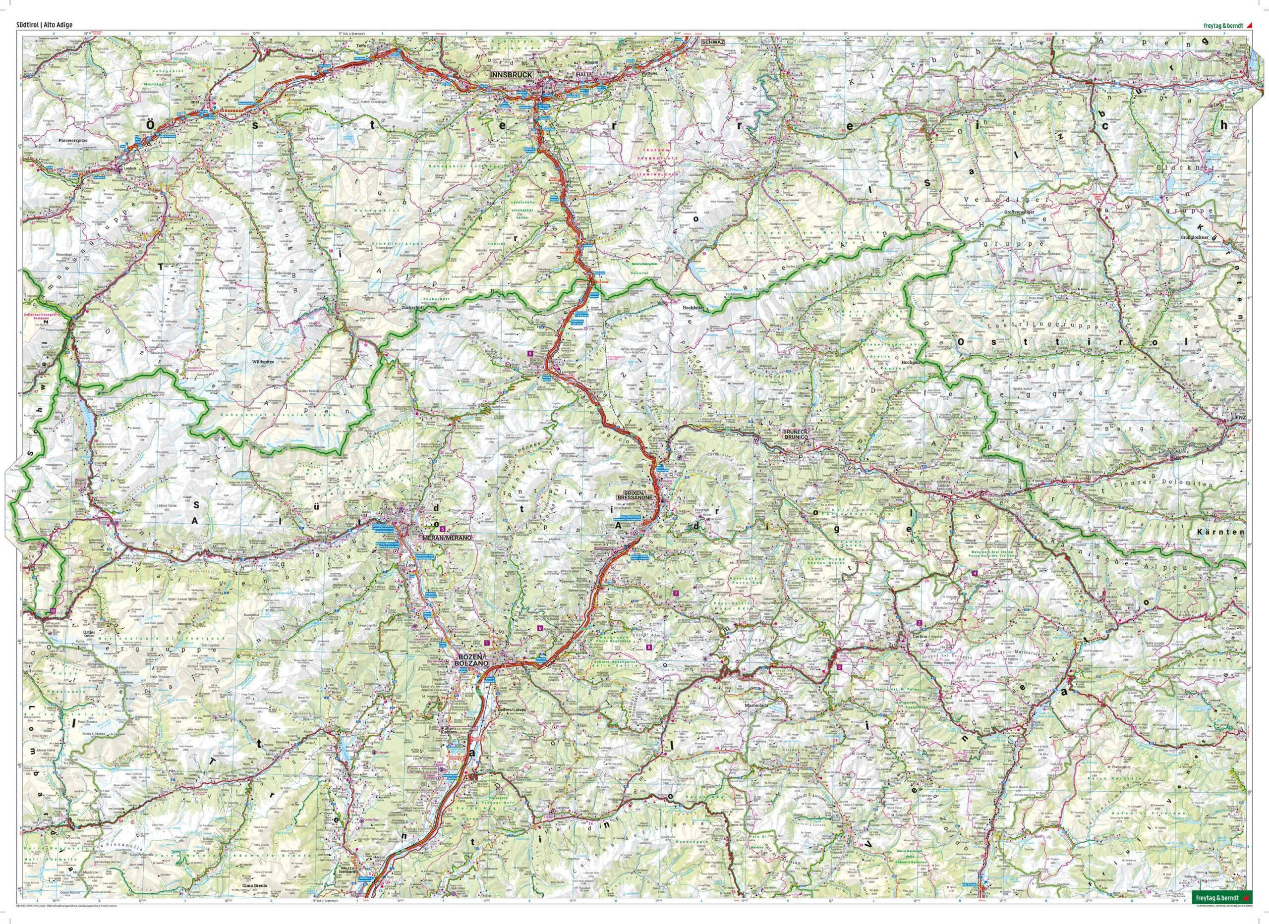
Description
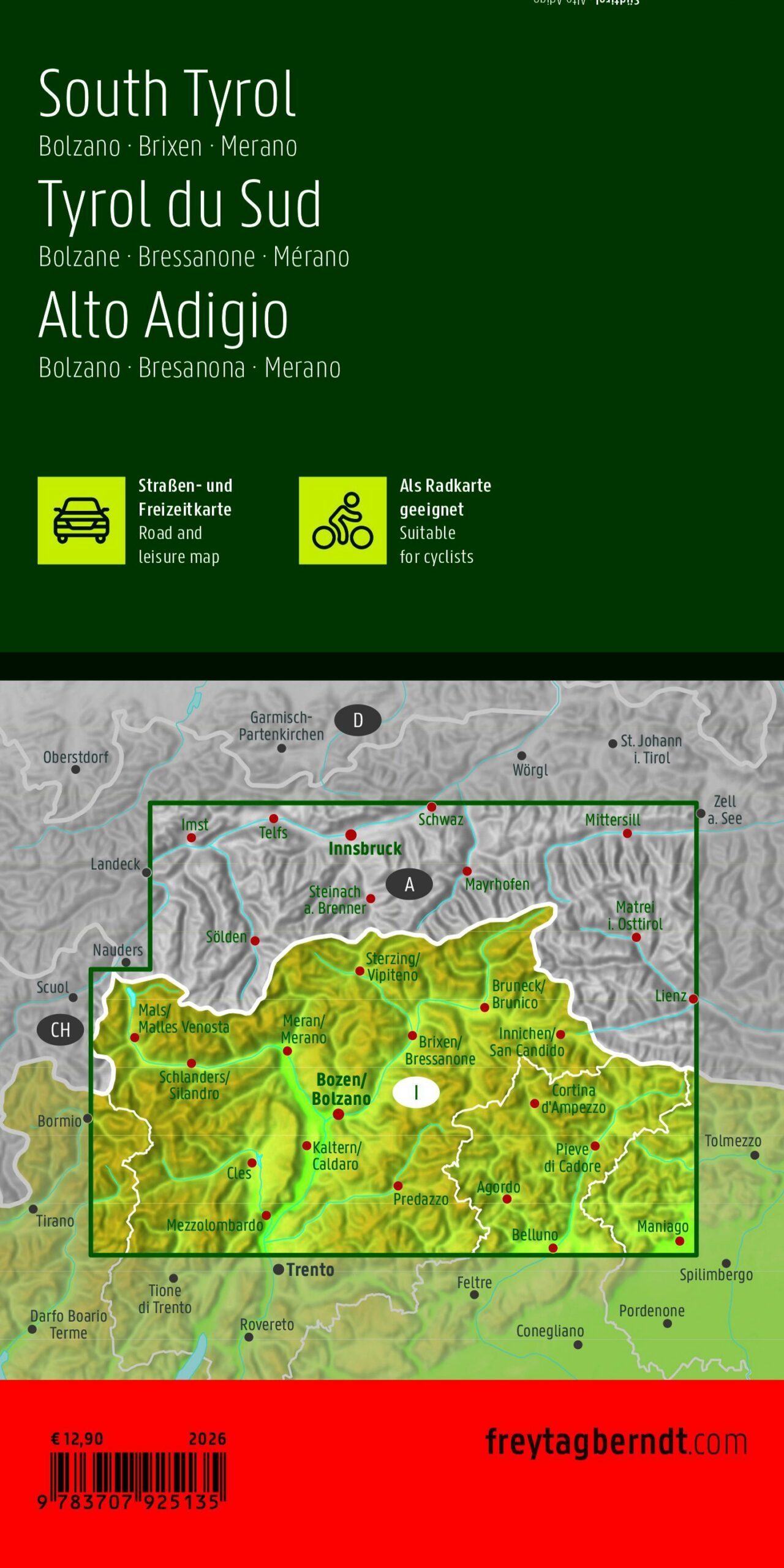
South Tyrol – Road and Hiking Map is a detailed travel map of the northern Italian region of South Tyrol (Südtirol / Alto Adige) at a scale of 1:150,000. The map covers popular areas such as Bolzano (Bozen), Merano (Meran), and Bressanone (Brixen), and is well-suited for road trips, vacation planning, and exploring the region.
The map combines a clear road network with useful tourist information, including attractions, campgrounds, and other practical information for travelers. The detailed scale makes the map well-suited both for driving between cities and for discovering smaller towns and nature experiences along the way.
The map includes a comprehensive index of locations with ZIP codes, as well as city maps of Bolzano, Merano, and Lienz. It also comes with a handy information guide featuring selected tips and information about the area.
The map is published by Freytag & Berndt, one of Europe’s leading map publishers specializing in travel, road, and recreational maps. This is a fold-out map in a convenient size, easy to carry in your car, backpack, or on your travels.
The map was published in 2026.