


Description
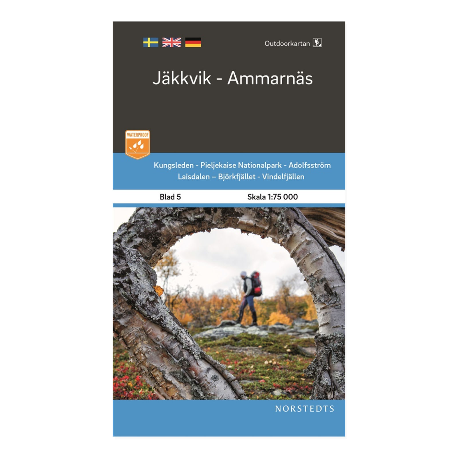
Jäkkvik–Ammarnäs – Outdoorkartan sheet 5 is a topographic hiking map for Jäkkvik and Ammarnäs between Norrbotten and Västerbotten. Its coverage is designed around walking routes and popular outdoor areas in the Swedish mountains, making it useful for planning and navigation in the field.
Mountain information for all seasons includes marked summer and winter trails, routes suitable for snowmobiling, bridges and fords, mountain stations, rest shelters and emergency telephones. The series is intended for outdoor activities including hiking, fishing and skiing. Always check local access rules and current conditions.
Waterproof Polyart withstands moisture, repeated folding and outdoor use. The map is printed on both sides, providing a practical paper-map alternative for use in demanding weather.
The 1:75 000 scale represents 750 metres on the ground for each centimetre on the map. A legend in Swedish, English and German explains the symbols.
Outdoorkartan Norra Sverige is a mountain-map series supplied by Kartförlaget. This is sheet 5, published in 2020, ISBN 9789113105024. Choose sheets according to your destination; longer trips may require adjacent maps.

