

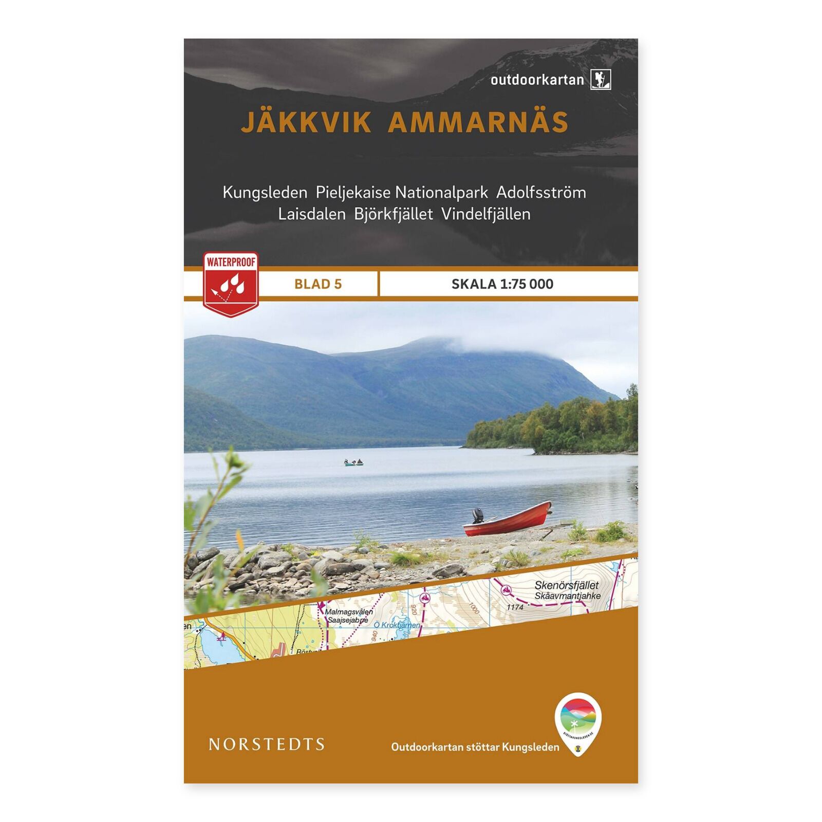

Description
Jäkkvik–Ammarnäs – Outdoorkartan sheet 5 is a topographic mountain map at 1:75,000. Its coverage is designed for popular outdoor areas in the Swedish mountains, providing a physical overview of the landscape around this part of Kungsleden.
Geography and place names: The coverage overview includes Kungsleden, Jäkkvik, Pieljekaise National Park, Adolfström, Laisdalen, Ammarfjället, Björkfjället, Vindelfjällen and Ammarnäs. Use these places to select the correct sheet for your mountain trip.
Walking information includes trails, mountain stations and rest shelters. Kungsleden is specially marked, with distances and approximate walking times for individual stages.
Waterproof Polyart is a durable material that withstands moisture and repeated folding. The 1:75,000 scale means one centimetre on the map represents 750 metres on the ground.
Older 2015 edition: This is the original Norstedts edition, ISBN 9789113068176. The mapping business was subsequently continued by Kartförlaget. This is an older edition, and paths, roads and other information may have changed. Sold from our limited remaining stock with no backorders.
