
Description
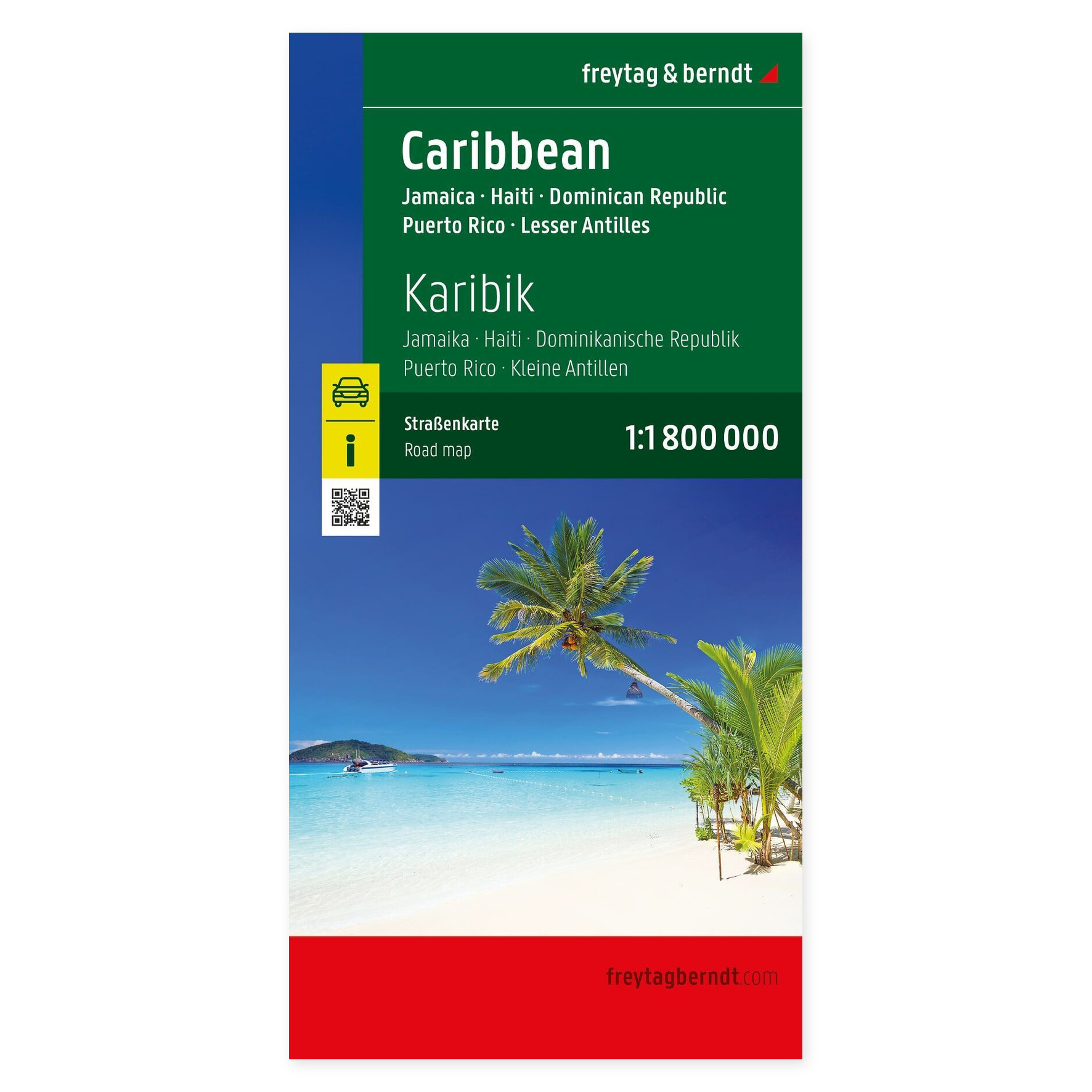
Caribbean and the Lesser Antilles – Road Map (Multilingual) from Freytag & Berndt is designed for planning trips and orienting yourself in the area.
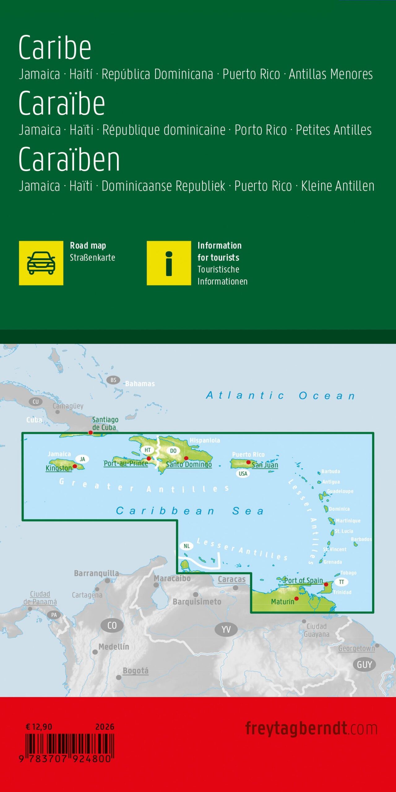
Content and Coverage. Overview map of the Caribbean, including Jamaica, Haiti, the Dominican Republic, Puerto Rico, and the Lesser Antilles. The map shows terrain, tourist attractions, and distances. It contains a comprehensive collection of detailed maps of the islands, including Aruba, Barbados, Curaçao, Dominica, Guadeloupe, Martinique, Saint Lucia, and Trinidad and Tobago. The detailed maps have their own scales, allowing the smaller islands to be shown more clearly than on the main map.
Plan on paper. An unfolded map allows you to compare several locations simultaneously and view your route in context. Use place names and the map’s legend to find relevant stops and choose which areas you wish to explore further.
Practical information: Scale 1:1,800,000. Publication year 2026. ISBN 9783707924800. Item number AK 245-26. Publisher Freytag & Berndt.